Crossing The Himalayas #4 / トラウマの大ヒマラヤ山脈横断記#4
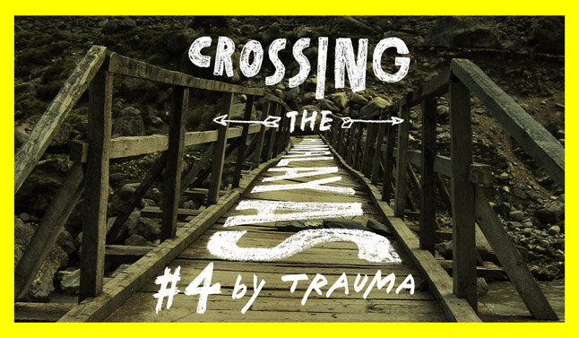
Crossing The Himalayas – Nepal GHT #4: By Justin “Trauma” Lichter
We made it to town just as the light was disappearing. We quickly found a hotel and grabbed dinner at the restaurant in the hotel. This was one of the few towns in the mountains that we used as a resupply and we hoped that it would have Internet access. We wanted to connect with family and friends and catch up on the news. If we couldn’t get Internet here, then it would have been about 20 days without being able to get online. We asked in the restaurant and got excited when the waitress told us there was a small place with computers a few blocks away. We got online, on the painfully slow dial up Internet access (no complaints) though since we were able to at least get online.
Then we found a small store and supplemented our food to make it another 10 days. We knew we wouldn’t need that much food since we would soon enter more popular trekking areas and be able to buy some meals at teahouses. By this point in the hike we were hungry all of the time and any hot, fresh meals we could get were welcome. We bought some biscuits, juice, and a few items for breakfast and then headed back to the hotel to crash for the night.
While lying in bed we discussed the news and what we had seen online. We learned at this town stop that Osama Bin Laden had been killed. I had numerous e-mails from friends and family warning me that I should not go into Pakistan to finish the trail, as intended. One e-mail really stood out. It was from a close friend who does a lot of design and backpack production for Special Operations units in the military. He said he had called some of his close friends that he worked with in Special Operations and they said that there was a lot more happening in Pakistan than the media knew about and I shouldn’t go there unless I had a death wish.
We had planned on doing about 100 miles in Pakistan to the base of the westernmost 8000-meter peak, Nanga Parbat. Plans changed with this new news and since I also learned that Pakistan rescinded all of the visas that they had issued to foreigners. I later hiked to within earshot of the India/Pakistan border and could see the massif of Nanga Parbat but was not allowed to touch the militarized border. India and Pakistan also had some tensions at the time.
The next morning we woke up early to get on our way. Although not a completely satisfying town stop, since we couldn’t get ice cream, it had at least been partially successful since we could check our e-mail and get online. We headed out of town on a dirt road that reminded me of the Burr Trail in Southern Utah. We had numerous switchbacks to drop down the steep hillside to the river and another small town, Syabru Besi, where we promptly started climbing again.
The rest of the day, the next 30 miles, were on a little used dirt road ascending out of the river valley. By the end of the day we had gained another 2500 meters and could feel the chill back in the air. We unexpectedly came across a little used teahouse at dark. Outside on a small wooden picnic table we ate the standard, monotonous Nepali dhal baht dinner. The rice and lentils and collared greens blend together like a mush and all taste bland. The sweetened milk tea was by far the best part of the meal. We then crashed in our small, wooden room with two bunks and a few thin cushions for mattresses.
The next morning we headed out from the teahouse and a dog began to follow us. We approached the crest of our first saddle, nearly 8km from town, with the dog still tagging along. After crossing the pass we finally got the dog to head back to his village. We were worried if he got too far away he wouldn’t be able to find his home. We descended from the saddle and wound our way down and through a number of small villages. We then contoured high up on the walls of the river valley for about six miles before descending to the river. A few hours later we approached a town just before dark and had a similar experience with dhal baht and crashing in a small teahouse.
The following day was more of the same, with lesser used trails and a little bit of map and compass to connect us to the next high use trail, the Manaslu Trek. We were hoping to get onto the Manaslu trek by dark so we could have another home cooked meal for dinner and a teahouse. At the end of the day we missed a turn to a suspension bridge to connect to the main trek. We continued on the opposite side of the river as the main trekking trail. After about 5km we saw another suspension bridge. We went cross-country down the steep valley wall to meet the suspension bridge. It was a steep, slippery slope that we had to pick our way down for about 800 meter but after a little over an hour we made it to the bridge. We crossed the raging river and set out sights on the first teahouse. It was getting dark and had been a big day with nearly 3000 meters of climbing and 3000 meters of descent. We were ready for a hot meal, a bottle of Coke (since we were now on a popular trek), and a good night’s sleep.
We were back on popular trails for the next few days and we knew we could crank out some big mileage. We took off from the teahouse early and headed up the Manaslu trek. We ascended all day. After hiking 50km we were still ascending and hadn’t reached the pass. We stopped at dark just a few kilometers short of the pass, having ascended over 3000 meters. As we set up our tarp it started to snow. Some wild blue sheep, also known as bharal, then walked near our campsite. It was some of the first wildlife we had seen the entire trip, besides for footprints.
We woke up to a chilly morning and couple of inches of fresh snow. We wore all of our layers. The trail wound its way along the outside of a terminal moraine on the north side of the valley. Small grassy, hills to our right were towered over by the main Manaslu peaks to our left across the ragged glacier in the valley bottom. Within an hour crossed over the moraine and onto snowfields. Shortly thereafter we crested Larkya La at over 5100 meters in elevation.
The descent started abruptly after the pass. We quickly glissaded down a few short snowfields before popping out on the trail tread. The glacier below us had stagnant pools in many of its crevasses. The view down from the pass was stunning. A large cirque surrounded by towering peaks stood to our right. Three monstrous glaciers came out of the cirque and met at an uncannily symmetrical convergence with the moraines providing outlines. In one of these convergence zones, a sapphire tarn sparkled in the sunlight. Down to the left the Manaslu massif was enshrined in clouds, with steep glaciers pouring down the cliffs. The glaciated valley below with grassy fields shined in the sunlight.
We quickly descended and began to warm up. We hoped to drop more than 2500 meters to the bottom of the climb by the end of the day. At the bottom of this river valley we would meet the start of the Annapurna Circuit, another popular trek, before beginning to ascend again. With thighs burning we descended rapidly the rest of the day. We were tired and hungry as we reached the bottom of the valley. We still had about 30 minutes of daylight, but we decided to find a teahouse and a place to eat. We found a dingy teahouse in the town of Dharapani and ate some dinner. It was hot and humid and we looked forward to ascending into cooler weather the next morning, and also seeing the classic Annapurna Circuit.
We made great time the next day, as the Annapurna Circuit had very well graded trail. In fact at one point, most of the Annapurna Circuit had been turned into a dirt road, but then portions of it washed out. As a result the Annapurna Circuit had gone from the most popular trek in Nepal, to a lesser-used trek because the Nepali government had ruined some of the trekking experience. Currently Everest Base Camp is the most popular trek. We made about 60km and over 2500 meters in elevation gain while also stopping for lunch at a teahouse. The scenery was great and we could feel the terrain and geology transitioning to the more arid Dolpa region. We ate and overnighted on the trail in a monstrous teahouse that were more reminiscent of Hilton resort than a backcountry lodge.
The classic pass of Thorung La, also over 5000 meter elevation, was very pretty and felt like an easy climb after all of the miles and elevation gain we had been doing. A teahouse and a thick layer of prayer flags lined the pass. The rugged Annapurna range lined the pass to the south and provided a storm barrier to the area. The pass had snow patches around but the soil but the region looked more arid than other areas. We crested the pass and started our quick descent dropping over 2000 meters in less than 5 hours.
By the end of the day we had reached the town of Jomsom, our last main resupply. We booked a flight for the next morning to the city of Pokhara to resupply. There was no Internet service in town so instead we relaxed at a small restaurant and ate a few meals each. Then we walked around town a little and called it an evening.
We flew to Pokhara the next morning and spent two days getting reorganized and reenergized for the final and most remote and challenging stretch in Nepal.
- « 前へ
- 2 / 2
- 次へ »
TAGS:

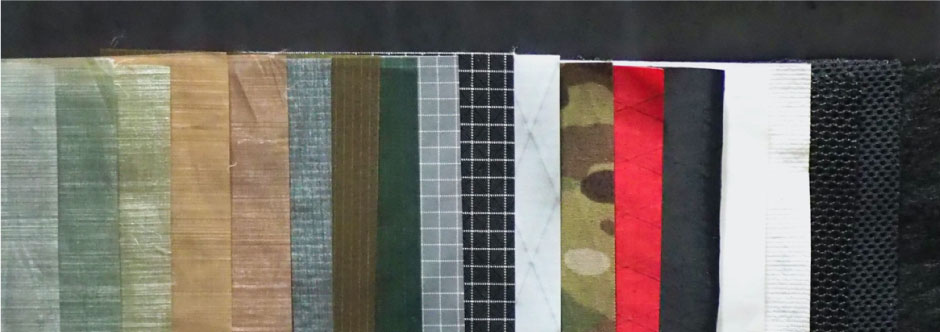
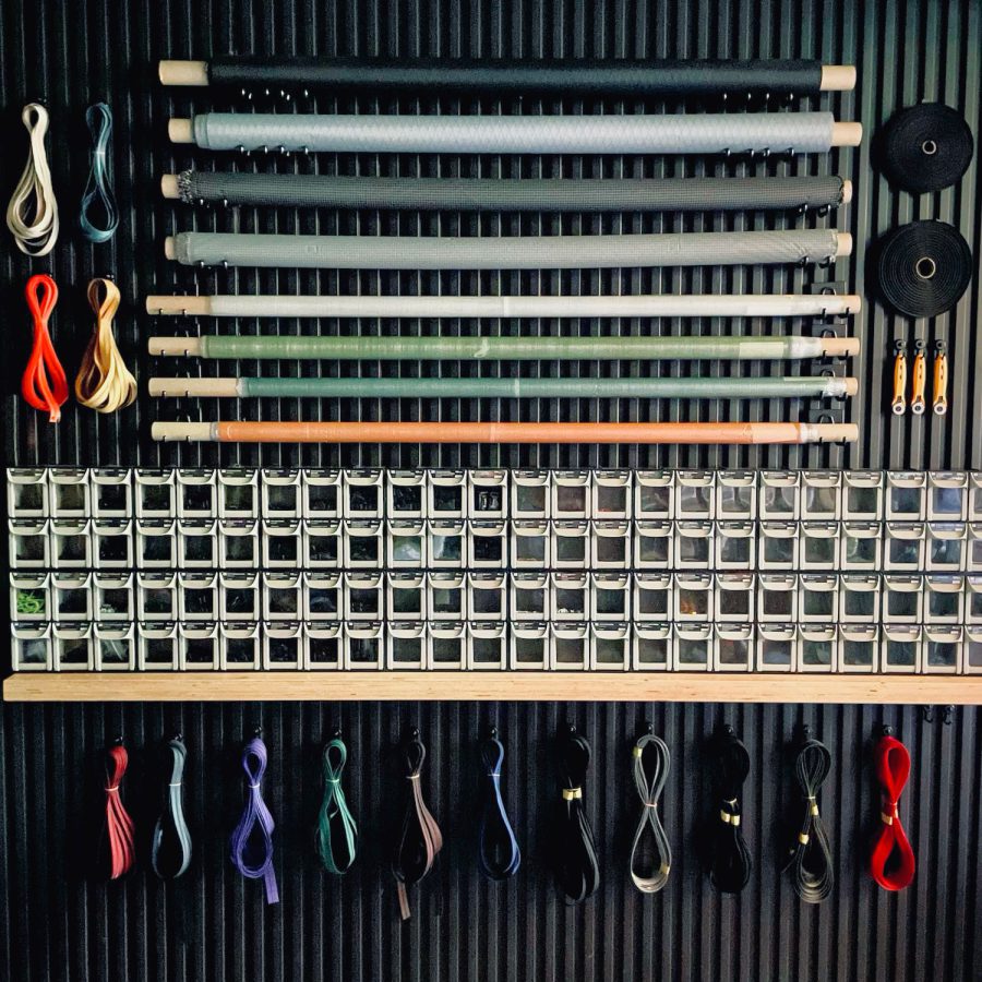 ULギアを自作するための生地、プラパーツ、ジッパー…
 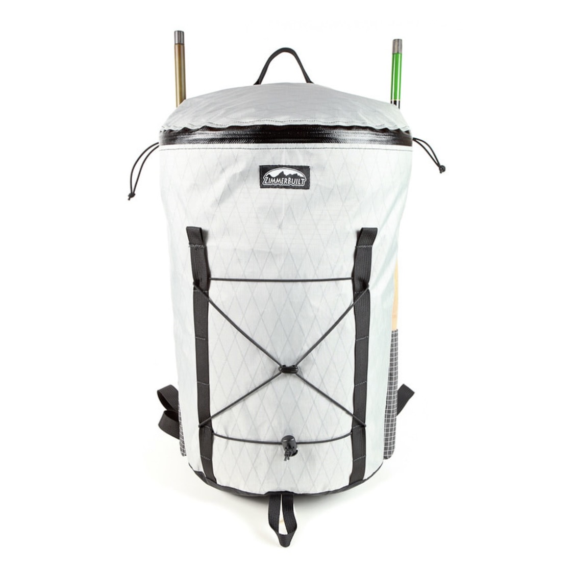 ZimmerBuilt | TailWater P…
  ZimmerBuilt | PocketWater…
  ZimmerBuilt | DeadDrift P…
  ZimmerBuilt | Arrowood Ch…
  ZimmerBuilt | SplitShot C…
  ZimmerBuilt | Darter Pack…
  ZimmerBuilt | QuickDraw (…
  ZimmerBuilt | Strap Pack …


