Copper Canyon 500mile Hike #2 / コッパーキャニオン500マイルハイク#2
写真/文:ジャスティン・リクター 訳:大島竜也/三田正明
コッパーキャニオン500マイルハイクのパートナー(カム)との出会いとルート決定のプロセスをレポートした#1。そして今回の#2では、巨岩が散乱していたり、ドラッグ畑を横切ったり、コッパーキャニオンの洗礼ともいえるダイナミックでアドベンチャラスなトレイルの様子や、好奇心旺盛で気さくな町の人びととの素晴らしい出会いなどをレポート。果たして2人の賭けがどう転がるか。。
■DAY2 / 落胆し疲れ果てる
僕たちのやる気とは裏腹に、二日目の出発は遅れた。狭い渓谷の壁は朝の太陽を遮り、11月中旬ではすでに日も短くなっていた。その日はタフな地形が待ち受けている上、ドラッグ栽培と取引の現場を横断するため、僕たちはヘッドライトでの移動を避けたかった。なので、その日の行動時間は短くならざるをえなかった。
僕たちは東から渓谷を結ぶ主要な支流まで約1時間ほどの地点にいると思われた。僕たちは渓谷をふさぐ一軒家ほども大きさのある巨岩をいくつも登ったり、下ったり、迂回して、さらに数えきれないほどの川を徒渉して支流を目指した。
それぞれの徒渉も一苦労だった。ひと月ほど前に終わったモンスーン・シーズンの影響で川の水位はいまだ高く、地元の人たちは口を揃えて「ここ20年で一番雨の多い年だった」と言っていた。 僕たちはそれを考慮して旅の日程を一ヶ月遅くしたにもかかわらずモンスーンの影響はいまだ顕在で、僕たちにとって追加のチャレンジとなってしまった。
Despite our eagerness, the day started off slow. It was mid November and the tight canyon blocked the morning light. The days were already short and due to the tough terrain and drug cultivation and trafficking we did not want to move by headlamp. We anticipated that we were within one hour of a main tributary joining the canyon from the east. We scrambled over, under, and around huge house sized boulders choking the canyon, crossing and re-crossing the river countless times. Each ford was a challenge of its own. The water levels were still high from the monsoon rainy season that ended less than a month prior. The locals all said that it was their rainiest year in more than 20 years. We pushed the trip back a month to accommodate this, but apparently this was still going to present an additional challenge.
本格的にハイキングが始まった初日に何か問題が起きると、沢山の不安や疑いが頭をもたげてくるものだ。それも、まったく見ず知らずの土地では。
9日分の食料は今のペースで最初の補給ポイントまでもつだろうか? ハイキングの総距離が予想の倍近くになりそうなためゴールに時間がかかり、冬に始まる僕のスキーパトロールの仕事に支障が出ないだろうか? そもそも僕たちはこの連なる渓谷のひとつひとつを超えていくことができるのだろうか? この先で約3メートルの滝が行く手を拒んでいるが、一瞬の気のゆるみで足を踏み外して捻挫や骨折をしないだろうか? 渓谷を登る途中にあるドラッグの栽培畑で武装したガードが待ち構えていないだろうか?
これらは1時間かけてもたった800mしか進めない1日を過ごしながら、僕の脳裏によぎった不安や疑問のたった一部だ。
When things happen and circumstances arise in an unknown area, and on your first full day of hiking, it starts to bring on doubt. We had packed about nine days of food, but at this rate were we going to be able to make it to the first resupply? Would the entire trip take twice as long as anticipated and cut into my winter work schedule? Would we even be able to make it down (or up) each one of these canyons? All it would take is a 10+ foot waterfall in the tight canyon to block our way. Would one of us lose focus for a second and twist an ankle or break a leg? Would we be able to cross the already difficult rivers as they gained more water moving downstream? Were there drug fields and armed guards sitting around any of the next curves in the canyon? These were just some of the questions of doubt intruding into my mind, as we were only able to travel less than .5 mile per hour for the entire day.
3時間後、僕たちはやっと支流の入口に着いた。渓谷の東面にはエル・ギガンテという名の岩壁がそびえ立ち、その足下では狭まった谷が水の流れを妨げており、 数世紀に渡って壁から剥がれ落ちた巨岩が散乱し道を塞いでいた。
エル・ギガンテはおそらく900m以上の高さがあり、アクセスさえ良ければサイズではほぼ同等のエル・キャピタン(アメリカ・カリフォルニア州ヨセミテ国立公園にあるロッククライミングの聖地)と同じように、世界有数のビッグウォール ・クライミングの舞台となるだろう。
Three hours later we finally came upon the tributary coming in from the left. Towering over the canyon on the east face was a wall named El Gigante. This shear cliff dropped precipitously into the narrow canyon as the waterway pinched in and bottlenecked. Boulders that had peeled off the wall over the centuries littered the way. The wall was massive, probably over 3000 vertical feet. It rivaled El Capitan in size, and if not for the difficult access it would be a world-class big wall climbing destination.
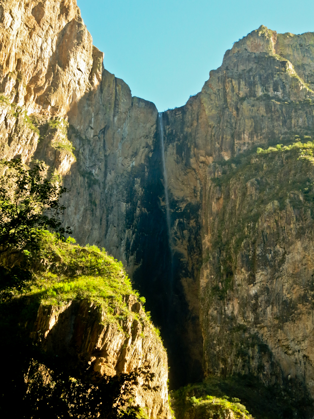
そんな岩壁を横目に僕たちは渓谷を見上げ、メキシコで最も高低差のあるピエドラ・ヴォラダの滝を探したが、それらしきものは何も見えなかった。季節的な滝のため時期がすでに遅すぎたらしく、すでに干上がってしまっているようだった。
その時、カムがくるりと回転しながら「Holy Shit(なんてこった!)」と叫んだ。その場所は地図で印をつけていた場所とは違う場所で、僕たちは見当違いの場所を見ていることに気づいたのだ。地図によれば滝は僕たちがいる支流から渓谷へと続いているはずだったが、実際には合流点の手前の支流から流れ落ち、僕たちの頭上600~900m上の安定した風の中で馬の尻尾のようにたなびきながら数百mの高さを落ちていっていた。
渓谷の風は穏やかだったが、太陽の光は日の出から4時間後の今もまだ僕たちを照らしてくれなかった。僕たちは写真を数枚撮り、早々と次の地点を目指した。 二人とも出来るだけ距離を稼ぐ必要がある事がわかっていたからだ。
We glanced back up the side canyon looking for a the seasonal waterfall known as Piedra Volada. This is the tallest waterfall in Mexico. We didn’t see anything and assumed that it was dry since we were late in the season. A split second later Cam spun around and said “holy crap!”. It was not in the location marked on the map and as a result we weren’t looking in the right place. The map showed the waterfall pouring directly from the tributary into the main canyon at the intersection; instead it was dropping from a side branch into the tributary shortly before the confluence. The water was dropping thousands of feet in a wispy horsetail that was blowing around in a steady wind a couple of thousand feet above us. Down in the bottom of the canyon the wind was calm and the sun still hadn’t hit us four hours after sunrise. We took a few photos and moved on to see what was around the next bend, knowing that we needed to maximize out hiking time.
その後やっと太陽が渓谷に射し込み、僕たちは30分だけのランチ休憩をとった。時計を見るとすでに午後1時近くで、残された日照時間はあと1時間ほどしかないことが推測された。靴擦れ防止のため靴の砂埃を落とし、Quick Mealを喉に流し込んだ。計算すると6時間で5~6km程度しか距離を稼げていない。イライラする程遅いペースだ。 しかもカムは既に岩にすねを当てて酷いあざができ、歩くのに支障をきたしていた。先が思いやられる…。
数時間行くと、川幅が徐々に広くなってきた。 僕たちは川底を塞ぐ岩の間をどうにか歩いていったが、すぐにこの底が見えないほど水草の生い茂った植物地帯は悪夢だと悟った。刺のある植物のせいでうっかりするとシャツが裂けてしまうので、歩くペースはさらに遅くなった。
We took a quick 30-minute lunch break when the sun finally entered the canyon. It was nearly one o’clock and we’d probably only have an hour of direct sun. We cleaned the sand and grit out of our shoes, to prevent chaffing and blisters, and downed a quick meal. We calculated that we had probably only gone 3-4 miles in over 6 hours of hiking. It was frustratingly slow. Cam had already severely bruised his shin on a rock and the bruise was in one of those painful places that you keep hitting. A couple of hours later the river widened up slightly and we tried to go around the boulders clogging the river bottom by ascending slightly around them. We quickly learned that the thick brush and bottomless vegetation around the lush riparian area was a nightmare. It was even slower going and the thorny plants were tearing at our shirts.
それから30分程経つまで気付かなかったのだけれど、おそらくこの場所でバックパックの横に付けていたカムのトレッキングポールが剥ぎ取られてしまっていた。カムはポールを探しに戻り、僕はしばし休憩を取ってスナックを頬張った。カムが痛めたすねを更に酷くする事なく戻ってきたのは良かったけれど、ポールは見つからなかった…。
今回のような旅において、トレッキングポールは川を徒渉する際にとても役に立つ。旅の初日にしてポールを失い、この先それなしでどうにかする必要がある事実に、カムは落胆の色を隠せなかった。
We didn’t notice until thirty minute later, but presumably in this area Cam’s trekking pole, which was strapped to the side of his backpack, got ripped out of his pack. I took a break and ate a snack while Cam went back and looked for it. He couldn’t find it, but he did manage to painfully hit his shin again on the excursion. On a trip like this I found trekking poles to be very helpful with all of the river crossings. Cam was bummed that he lost his pole on the first full day of the trip and would have to manage the rest for the way without it.
タフな状況かつ地形も平坦でないため、暗くなる前に今夜のキャンプ場所を探す必要があることはわかっていた。けれど、僕たちはまだ日があるうちに足を止めたくなかった。歩き続けてどこかに砂浜が見つかる事を願って懸命に足を進めたが、暗闇がやってくるとすぐに何も見えなくなってしまった。
けれどラッキーなことに、僕たち二人が寝るにはちょうどよい場所を見つけることができた。少し狭かったけれど、暗闇の中で石の上を飛び越えて川を渉るよりはマシだ。暗くなればなるほどキャンプサイトを見つけるのは困難になる。予定より少し早かったが足を止めた。僕たちは落胆し、ひどく疲れていた。今日の行程を地図で確認すると、12時間もかけてたったの10km強しか進んでいなかったのだ…。
Due to the tough conditions and not much flat terrain, we knew we needed to find a camping spot before dark, however neither one of us likes to stop hiking with much daylight left. We pushed hard at the end of the day hoping to find a sandy beach. The darkness came on fast and it was difficult to see. We were lucky to find a spot just big enough for both of us. It was tight, but much better than rock hopping and fording rivers in the dark. As it gets dark it gets harder and harder to find a suitable campsite since you can’t see as far out to the sides. We vowed to try to stop a little earlier. Depressed and exhausted, we checked the maps and had only done 6-7 miles in twelve hours.
■DAY 3 / DICE ROLL!
3日目の朝も2日目と同じようにイライラと遅いペースが続いたが、地図を見ると谷底にカンダメナという名の小さな町があることに気がついた。僕らは町に近づけば少しはまともな道があり、距離が稼げるのではないかと思った。文明があれば、小道や道路も作られるものだ。思ったより時間はかかったが、僕たちは午前中にはその小さな町まで3km程の地点に到達した。
川の曲がり角まで来ると、対岸の段丘で働いている人の姿が見えた。彼らはドラッグを栽培しているようだった。 僕とカムは彼らの視界に入らない場所で足を止めた。
「ここで川を渡って彼らに僕らの存在を知られせるか、それともこちら岸をこのまま彼らに見つからないよう“ステルス”で進むか、どちらが良いと思う?」と僕が言うと、カムは答えた。
「DICE ROLL(賭けてみようぜ!)」
The morning of Day 3 continued just like Day 2, frustrating and slow. We noticed a small town, called Candamena, marked in the valley bottom on the map and were hopeful that there would be some decent trails as we got closer. Civilization usually brings about trails, roads, or some sort of traveled paths. It took us a couple of hours longer than we expected, but by mid-morning we were within two miles of the small community. We came around a bend in the river and saw people working on a small terraced area on the other side of the river. They looked like they could be farming drugs. Cam and I stopped out of sight from them. I said, “Do you think we should cross the river and make our presence known or try to continue on this side and be stealthy?” Cam replied, “Dice roll.”
この2日間があまりに遅いペースだったので、早くまともなトレイルを歩いて距離を稼ぎたかった。対岸へと渉り彼らに僕たちの存在を知られたとしても、彼らが利用している道を見つけて歩いた方が良いと決断した。その先に何が待ち受けているか知る由もなかったが、これまでのように1日10km弱のペースでは次の補給地まで食料がもたないことは明らかだった。
僕らは川を渉り、土手をよじ登った。 そこには鍬を持った5人の男とブルドーザーに乗った1人の男がいた。 さっそく僕たちが「オラ、ブエノスディアス(やあ、おはよう)!」と話しかけると、彼らはぎょっと驚いた様子で僕たちを見た。僕たちは(ドラッグ絡みの)危険の伴う話題を避けつつ、手短にこの旅の目的とどこから来たのかを伝え、集落への道を尋ねると、地図になかった新しい道が鉱山採掘を目的に存在していることがわかった。2~3kmもその道を行けば川を越えることができるだろう。 彼らに礼を言い、足早に先を急いだ。この旅で初めて一歩づつ注意することもなく、何の妨げもなく歩くことができて、僕たちはまったく最高な気分だった。
After the last two slow days, I was probably a little to eager to get on trail and make some decent time. I decided that we’d be better off crossing the river, making our presence, known, and hopefully finding the trail that these guys had used. After all we didn’t know what the conditions would be like for the next week and we couldn’t travel 6-7 miles a day and have enough food to get to our resupply. We crossed the river and stumbled up the bank. Five guys had hoes and one guy was in a bulldozer. We immediately said, “Hola. Buenos dias.” They all looked up startled and surprised. We quickly started talking to them telling them what we were doing and where we came from, so that we would keep the topic off anything dangerous. We then asked them how to get to the small community. A new road had been put in down the side of the canyon to this area for mining purposes. We could follow the dirt road for 2-3km and then a trail crossed the river. We thanked them and quickly went on our way. It felt great to open up our stride and walk unimpeded, not concentrating on each and every step for the first time in the trip.
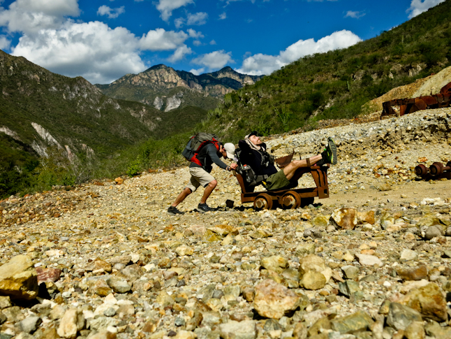
道の終わりで僕たちは二人の男に出会った。 ひとりの男はジェリーという名で、彼の友人と共にピックアップトラックで運んできた物資をラバ(ロバと馬を掛け合わせた雑種)の背中に載せ変えていた。 ジェリーは川向こうの300mほど先にある4軒だけの小さな集落に住んでいて、そこまでは道が通じていないため、ラバで物資を運んでいるのだという。さっそく僕たちはこの辺りのトレイルについて情報収集し、彼に従って少しルートを変えることにした。 お陰で最初の大きな峠を登り始めるまでに、5kmも平坦な川沿いを進むことができた。
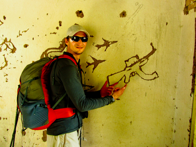
ジェリーはドロレスという小さな村までは古い炭坑を通過するよう教えてくれた。そこからは歩きやすい道が峠の上まで案内してくれるとのことだった。 ジェリーは親切丁寧に道を教えてくれ、こういった情報は本当に有り難かった。テクニカラー(総天然色)のタイリングパイル(有用鉱物を採取した残りの低品位の鉱物)が積み上がった炭坑を過ぎると、狭いトンネルが丘の中腹に続いていた。 そこには炭坑の小さな別棟があり、中には飛行機や爆弾、そしてAKアサルトライフルの落書きが日干し煉瓦の壁に彫ってあったのだけれど、それは僕たちの気分を害するには十分だった。そう、僕たちはもういつドラッグ畑で危険にさらされてもおかしくない状況下に足を踏み入れているのだ。
At the end of the road we met two men. A man named Jerry and his friend. Jerry was loading up his mule with supplies from the friend who brought stuff down in his pick up truck. Jerry lived in the small village of four houses across the river and up about a thousand vertical feet. Since there was no road to the community, they brought their supplies in by mule. We asked Jerry some information about the trails in the area. We altered our route slightly based on his input and headed out. We had about 5 km more in the river bottom until we started our climb out of the first major canyon.Jerry had told us that we would pass an old mine about 1km before an old roadbed would take us up to the small village of Dolores. Then a good dirt road would take us to the rim. Jerry was spot on with all of his directions for us. It was great to have such good information for the first time in the trip. We passed the mine with Technicolor tailings piles, small tunnels leading into the hillside, and exposed rock, and a small outbuilding from the mine. Inside the building graffiti planes, bombs, and AK assault rifles were carved into the adobe walls. It was disturbing, especially since we were on edge already as we could stumble on drug fields at any time.
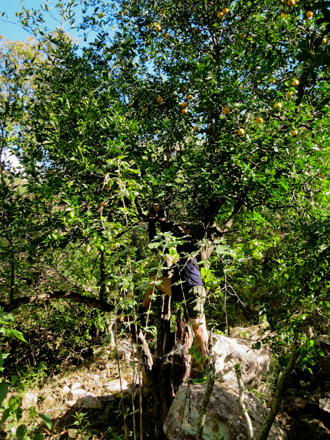
さらに道を進むと、オレンジの古い果樹園を通った。 オレンジは熟していたので、僕らは2~3個拝借して足を進めた。1.5kmほど歩いてドロレスの町に着くと、道はかなり歩きやすくなった。僕らは小川を渡り、水を補給した。 おそらくこの場所が明日朝に1,500mほど峠を登る前の最後の給水地点だろう。そうこうしているとピックアップトラックが近くに停まったので、僕らはドライバーと助手席に座る男と少し話した。彼らは品の無いジョーク混じりで、ドラッグ関係者には注意し、彼らのいる前では先を急ぐなと教えてくれた。
すでに日は落ちかけていたが、少しでも良いキャンプ場所を見つけたかった。1,400mほど登ったが、峠の上には着かなかった。植生は河岸性から砂漠の低木林に代わり、ここでポンデローザ・パインの林に変わった。 僕たちはこのポンデロ―ザの松林でどこかよいキャンプ場所を探せると思っていたが、地形が急過ぎた。さらにピックアップトラック運転手の話があったので、道路からは見えにくい場所でキャンプする必要があった。 僕たちは理想的ではないが、少しは安全が確保された場所に落ちついた。日が落ちた中で探した割には良くやったほうだと思う。
We followed the roadbed and passed an old orange grove. The oranges were ripe so we grabbed a few to eat on the climb. A mile later we passes the town of Dolores and the dirt road improved. We crossed a creek and loaded up, as this would be our last until we the next morning, over 5000 vertical feet higher. A little while a pick up truck pulled over and the driver and passenger chatted with us for a few minutes. They made a snide joke about being careful with the people in the drug industry and sped off. We ran out of daylight trying to find a good campsite. We ascended over 4500 feet but didn’t quite make it to the rim. The vegetation had changed from riparian to desert scrub, and now to Ponderosa Pine. We thought we would find some good camping in the Ponderosas, but the terrain was too steep. We tried to make sure to find a campsite out of sight from the road for the night, especially after the comments from the truck driver a couple of hours earlier. We figured there had to be some drug money in the area or else there would be no reason for this dirt road to be here. We settled on a not-so-ideal site but it was semi-protected and was the best we were going to find in the waning daylight.
4日目は冷たくも清々しい朝を、霜のついた寝袋で迎えた。渓谷の下との気温の変化は少なくとも10°Cはあり、日中も決して摂氏12℃を超える事はない。少し肌寒いが、ハイキングには最適な気温だった。その日はすべてスムーズにことが進み、時間が経つのも早かった。おかげで僕たちは最初の2日間で稼げなかった距離をどうにか取り戻す事ができた。その日僕たちは未舗装路の上を歩き始め、一日の終わりまでそれは続いた。それはつまり頻繁に立ち止まっては行き先を模索する必要がないわけであり、結果的に時間をセーブすることにも繋がった。
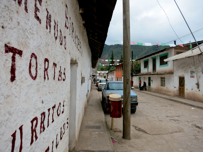
道は小さな町をいくつか通り過ぎ、僕たちは朝食用のスナックや飲み物を買うこともできた。僕たちが店の前で朝食をとりながら主人と話していると、他の人たちも集まってきて気安く話しをしてくれた。それはこれまでの僕の(トレイルではない)道を歩く経験のなかでも、もっとも素晴らしい体験のひとつになった。人々はとても親切で、行き交う車も頻繁に僕らのところで停まっては話かけてきた。そして「良かったら乗っていくかい?」と、多くの人が申し出てくれた。彼らは僕たちが何者かを知る前にもとても親切に振る舞ってくれたし、僕たちが何をしようとしているのかを知った後では、さらに好奇心旺盛になった。
車で通り過ぎる人からも沢山の声援を受けながらその日は55kmを歩き、日が落ちて1時間後にウルアチの町に着いた。ウルアチはすり鉢状の地形の底に位置しており、町の中心部まではさらに数百メートルを下らなければならなかった。僕らは安宿に荷物を預けると、一刻も早く夕食にありつくため町へと駆け戻った。夜の暗闇の中で町並みははっきりとは見えなかったが、ここが特別な場所であるということはわかった。僕たちは腹いっぱい夕食を食べ、ホテルに戻り、実り多い素晴らしい一日を終えた充実感と共に泥のように寝た。(#3に続く)
Day four started cold and crisp, with frost on our sleeping bags. The temperature change from the bottom of the canyon was at least 20 degrees. The day never warmed up above 55 degrees either. It was a bit chilly but perfect for hiking. The day went fast and smooth and we made up some of the miles lost the first few days. We started on the dirt road and stayed on dirt roads all day. There was little navigation to be done which saved time as well. We passed through a few small towns. We were able to grab some snacks and drinks from a tiny store for breakfast. We ate outside and talked to the shop owner. Other people came by and talked as we relaxed. This was probably one of the best road walk experiences I have ever had. Every car that drove by also stopped to chat or inquire if we wanted a ride. Everybody was so friendly. Before they even knew what we were doing, they were genuinely nice. Once they learned what we were doing they were inquisitive and intrigued. After 35 miles, with the support of everyone that drove by, we walked into the town of Uruachi about an hour after dark. The town sat in a little bowl and we descended a few thousand vertical feet into town. The night was warm as we hit the cobblestone street. We found a cheap hotel room and ran back out to grab some dinner. It was hard to see the town at night, but I could tell it was a special place. We ate a hearty meal, went back to the hotel and crashed, completely satiated after a great, rewarding day.(to be continued to Part 3)
TAGS:


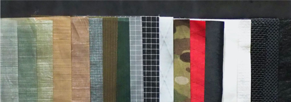
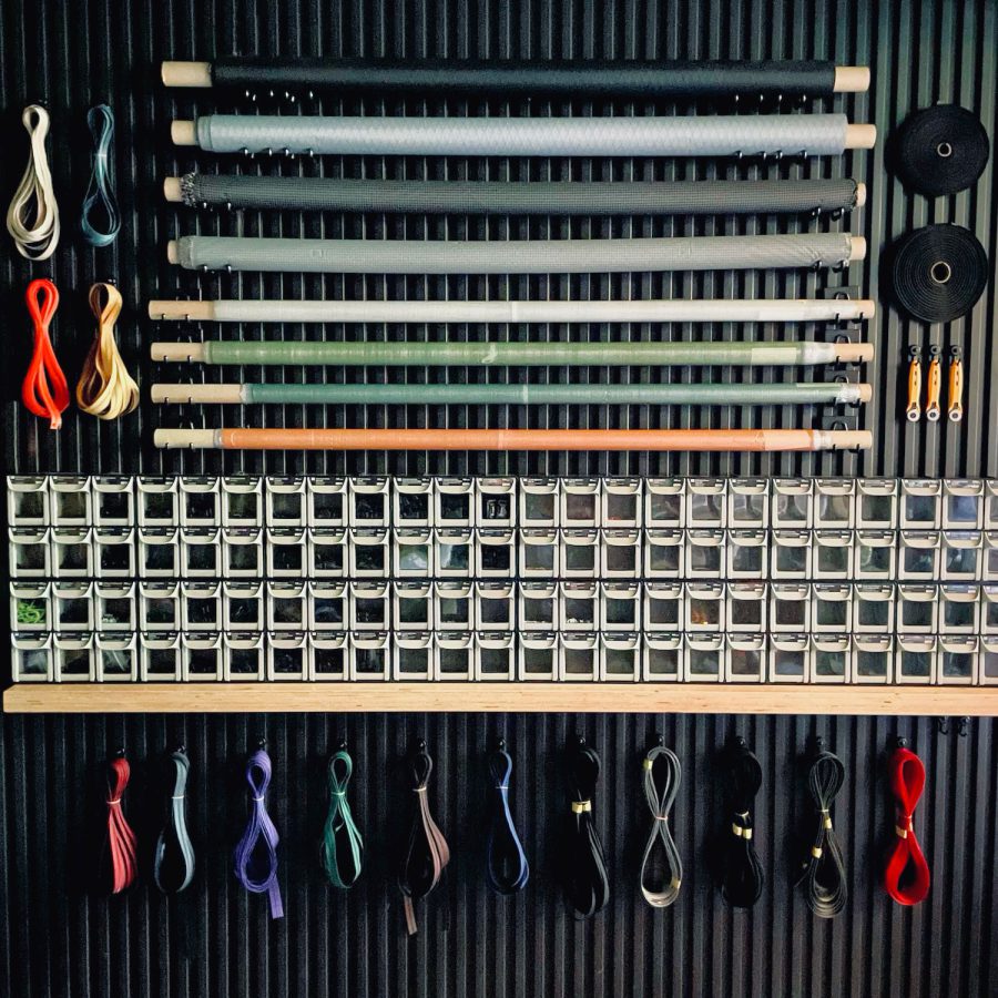 ULギアを自作するための生地、プラパーツ、ジッパー…
 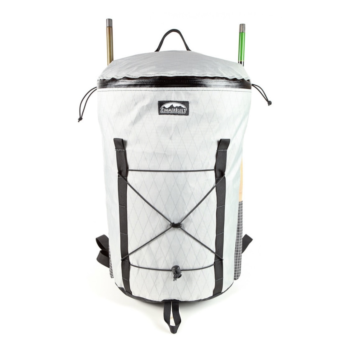 ZimmerBuilt | TailWater P…
 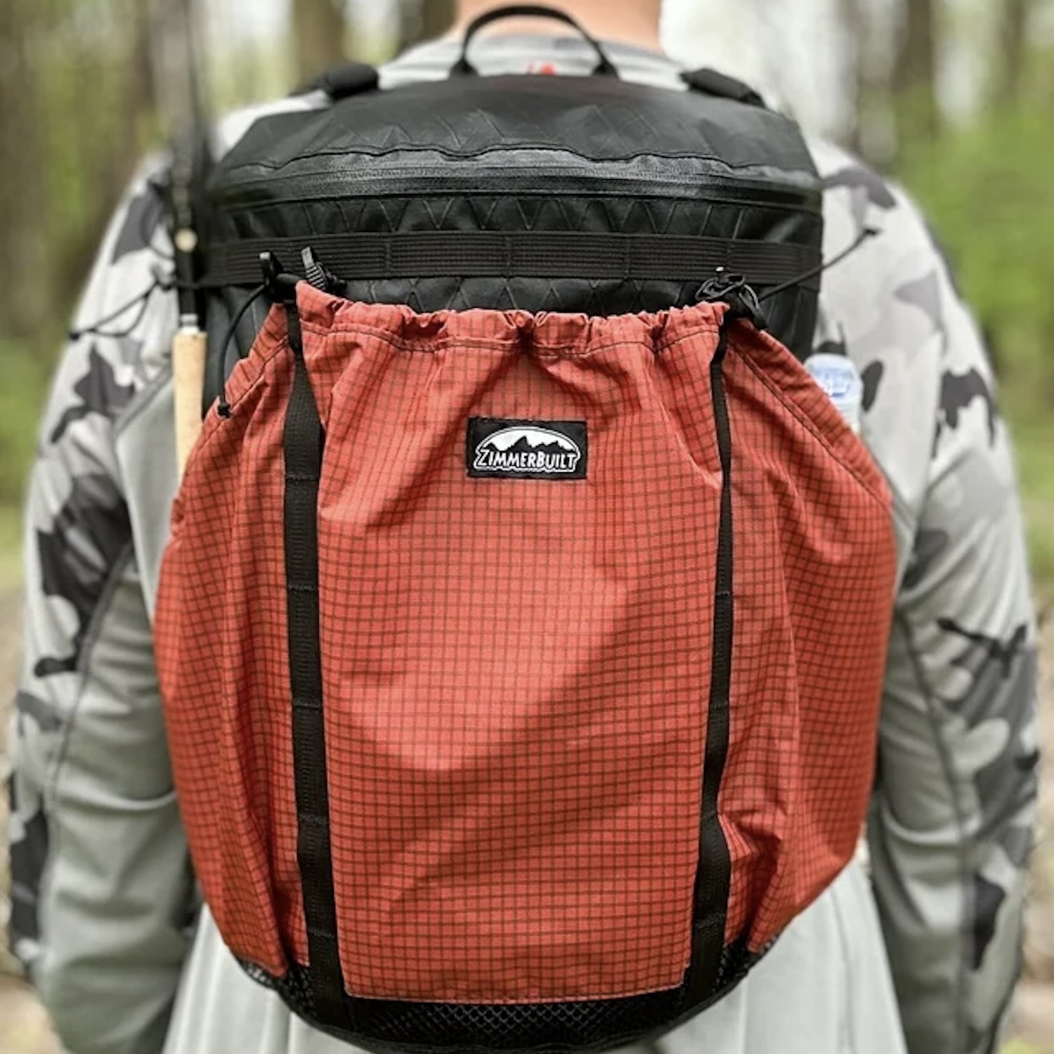 ZimmerBuilt | PocketWater…
 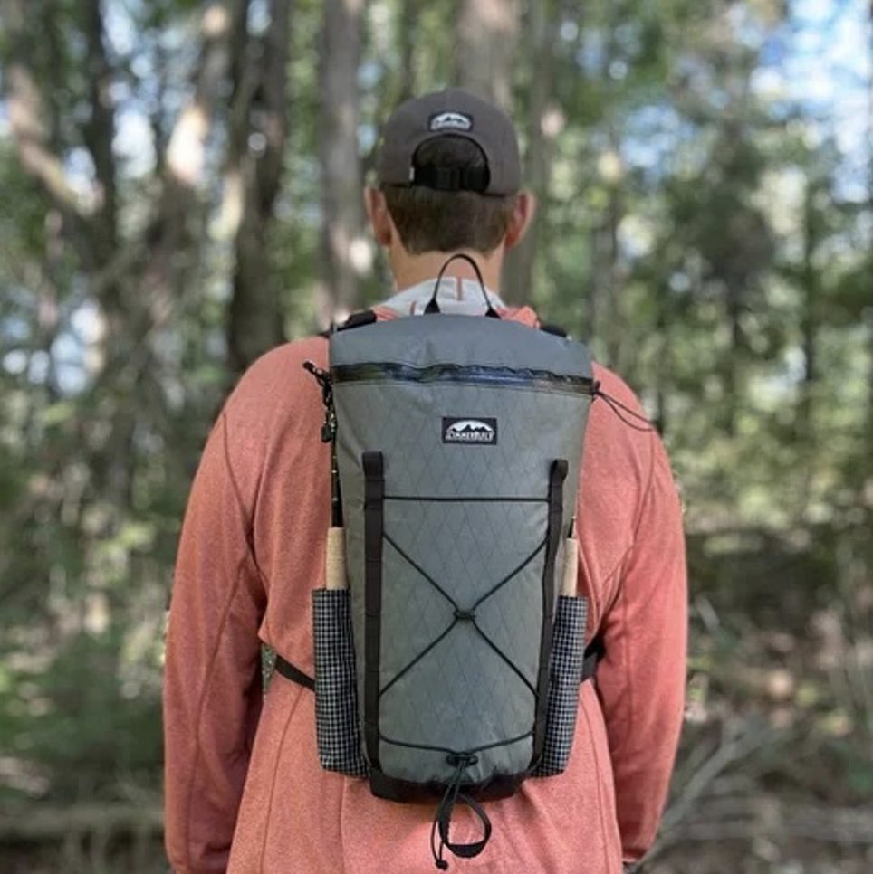 ZimmerBuilt | DeadDrift P…
 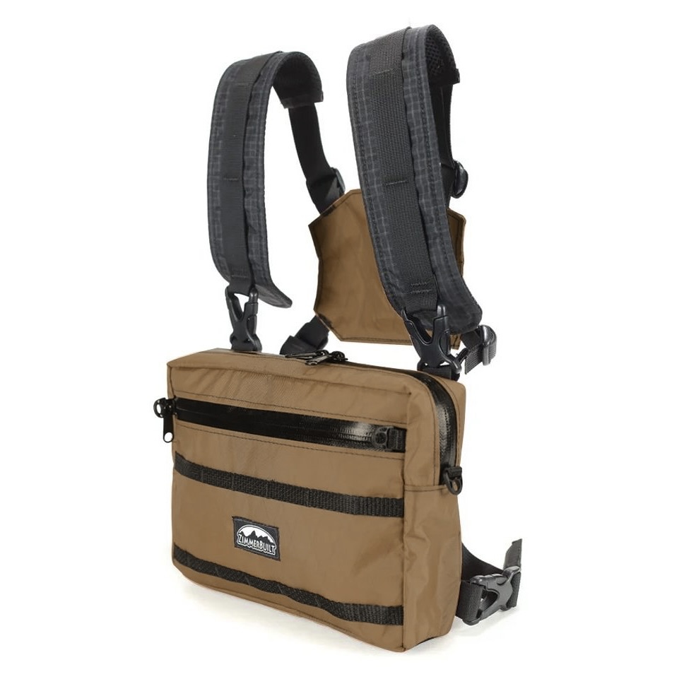 ZimmerBuilt | Arrowood Ch…
 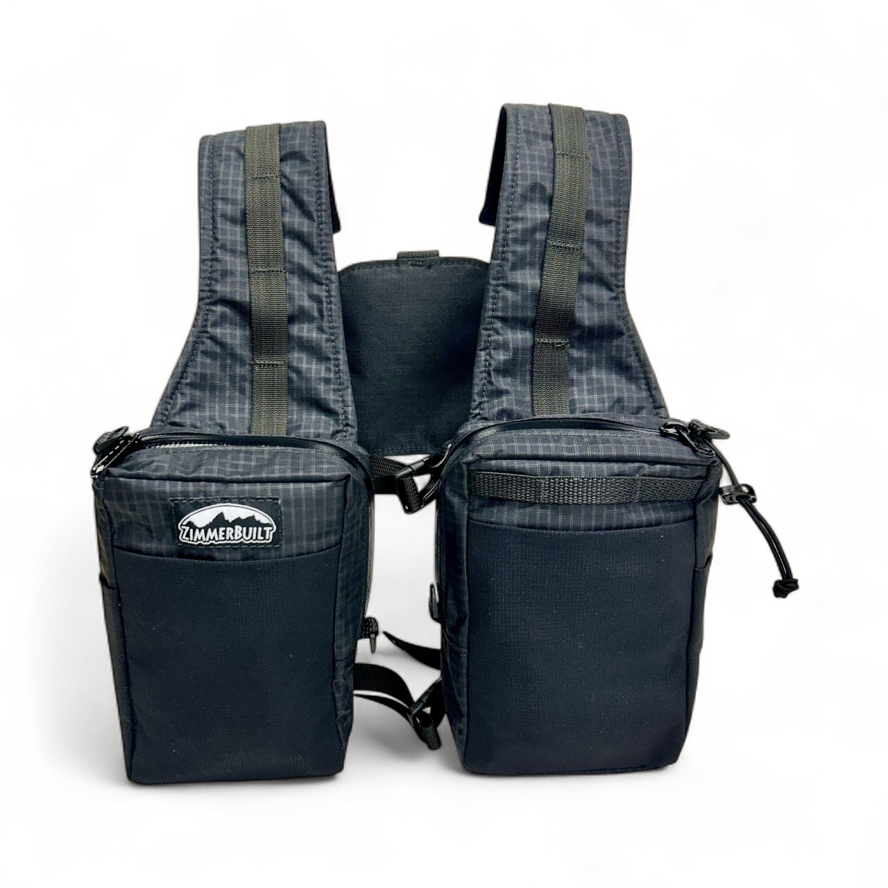 ZimmerBuilt | SplitShot C…
 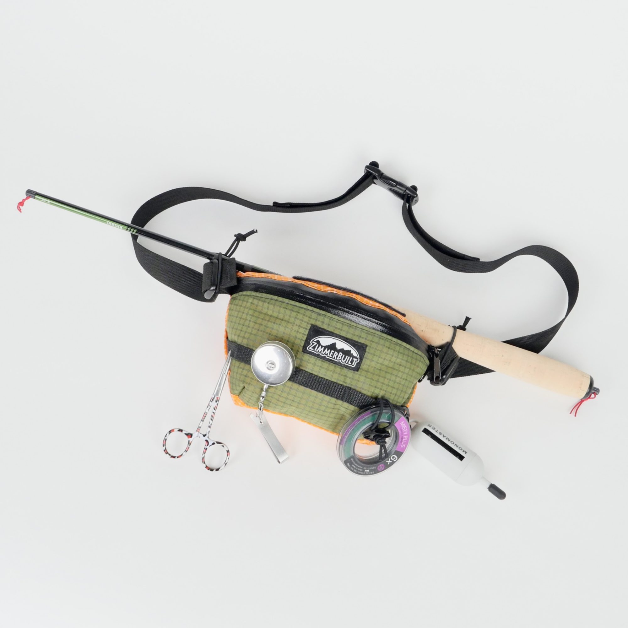 ZimmerBuilt | Darter Pack…
  ZimmerBuilt | QuickDraw (…
  ZimmerBuilt | Strap Pack …