Crossing The Himalayas #8 / トラウマの大ヒマラヤ山脈横断♯8
Crossing The Himalayas – India GHT #3: By Justin “Trauma” Lichter
I resupplied quickly, in only a few hours, knowing that I only had about 2 and a half weeks left of the trip and I was heading into some nicer areas in India. It was much easier and faster to resupply when you can get the items right on the “trail” while walking through the town and not have to fly out to a major city every time, as we had been forced to do in Nepal. I stocked up on potato chips, instant noodles, chocolate bars (which were unfortunately all tiny compared to our American candy bars), and some other instant pasta meals. I was fortunate to find a box of Corn Flakes in the back of one of the small stalls selling groceries. If you look hard enough you never know what you’d find hiding in the back and dusty corner of the stall. The box of Corn Flakes had a thick layer of dust all over the box and had probably been sitting in the store for years, but I was happy to find it. Corn flakes and a few scoops of sugar are a easy and quick hiker breakfast, especially when your other options from the store are pretty slim. Compared to Nepal, India had a decent selection of trail food for a hiker, with quick cook meals. It wasn’t great but no complaints after Nepal. It was similar to a bad, convenience store resupply in the U.S. On my way out of town I stopped at the India Oil gas station and pumped my fuel bottle full of gasoline at the gas pump. There was no way to find canisters or denatured alcohol so I was often using gasoline; despite having to perform the annoying task of cleaning my multi-fuel stove every few days.
To add insult to injury, my mini Bic lighter that I had carried from the United States had gotten confiscated at the airport traveling to India. This led to a constant problem in India. I had been purchasing Indian lighters in every town stop. I needed the lighter to light my stove. Within a few days they would all break. I bought two more at my resupply to hopefully make it to the next town. That didn’t happen. On the first night one lighter was defective and wouldn’t work and the other broke. I got my stove lit before the second one broke, but I had to get creative for the rest of the section. The next night I pulled the tiny flint piece out of the lighter and got just enough of a spark by scraping it on a rock to light the fuel, and cook my meal. The next few nights I wasn’t as lucky. Plus I was out of Corn Flakes, so my breakfast was instant noodles also. Two meals a day for three days, I was eating either uncooked instant noodles or soaked instant noodle. To say it was unappetizing is an understatement. It was either crunchy and almost inedible or starchy and gross, but since my food supply was limited I kept eating them.
I headed up over a moderately high saddle that was primarily forested and then dropped all the way back down to a rural road crossing at the bottom of the valley. The trail was single track and in pretty good condition, although not used very frequently. The weather had begun to get iffy every day and I could feel the monsoonal moisture coming. It was only a matter of time before the impending monsoons started in earnest. Each day the afternoon clouds were building and some days it would start to rain or snow in the afternoon. The locals were saying that the monsoons were within a few hundred kilometers of Delhi and it was just a matter of a couple of weeks before they would make it into northern India. We were experiencing the pre-monsoonal moisture. At the bottom of the valleys and the lower elevations it was hot and humid. The moisture in the air was thick and suffocating. At the higher elevations the clouds were building by mid morning and often snow started falling later in the day.
After crossing the rural road at the bottom of the river valley, I began to ascend steeply again. The mountains and valleys to my east were marked on most maps as off-limits. I treaded a fine line planning my route through India because everything near the India/China border is closed to foreigners and sometimes this closed area extends over thirty miles from the border. India and many of its neighbors are in the midst of border conflicts and the territorial boundaries are often in dispute. Interestingly enough there is an active dispute in the Siachen Glacier area between India and Pakistan. This is the highest battlefield in the world and reportedly each sides comes out and fires a few rounds each afternoon just to maintain its activity. However, more soldiers are dying from exposure and the cold weather, and probably because they are not outfitted properly, than because of the actual fighting.
I thought about this as I ascended the next high pass, Babu La. The ascent was very steep climbing up this hanging valley from the road crossing at the bottom of the valley. The trail quickly petered out and became snow covered. The drop was steep to the valley floor but the navigation was not difficult. The pass was an obvious low point in the ridgeline and there looked to be two or three doable crossings in the ridge. I plodded on through the snow and ascended up the last headwall to the pass. It was a beautiful pass with a big u-shaped glacial valley below. Out to the right the valley appeared warm and dry, and to the left were snow covered peaks and glaciers. I could see my next goal to the left.
I was to drop fast into the valley below and then ascend directly to the west to Parvati La. It was snow covered and glaciated. The peaks around were 6000-7000 meters in elevation. There were big differences from the Himalaya range in Nepal. The peaks were lower and less prominent. The ascents to the passes were a bit shorter and the glaciers were smaller. Most notably, there were some long glacial valleys that no longer housed glaciers. In essence there were actually some wide valleys with level ground and smooth, flat hiking. Also with the pre-monsoonal moisture, the flora had clearly bloomed and spring was taking hold. In the flat areas, there were meadows and grassy areas lined with multitudes of different flowers. Reds, yellows, and purples coated the slopes below the snow line.
It was very slow and snowy ascending Parvati La. It took hours to gain the pass and by the time I reached the pass in the afternoon the clouds had already built to impede any views I would have had. The clouds matched the white surroundings and it made navigation difficult. I headed west off the pass and dropped rapidly on the snow-covered slopes. After descending down the headwall for about 45 minutes I dropped out of the clouds somewhere between 4000 and 4500 meters in elevation. As the snowfields receded I started to see some cairns. That helped to continue top make decent progress as the terrain became undulating and convoluted as it flattened out onto the glacier heading down valley. For another hour or so there was the rollercoaster of ascending and descending all of the ups and downs in the ice and moraines of the glacier. Eventually I crossed the terminal moraine and saw a big open mud flat. The mud flat was over a mile long and had clearly been a lake in the recent past. At some point the water had broke through the terminal moraine, completely draining the lake and leaving a mud flat. At the opposite side of the mud flat lay remnants of a Hindu deity and prayer flags, half covered by a snow bank. I descended off the final terminal moraine into a long flat glaciated valley. It was the flattest hiking I had experienced in months. I was cruising until I saw someone in the distance. He looked very familiar and I did a double take.
We came up on each other in amazement. I knew he was headed to India to scope out the Indian Himalaya and do some hiking to try to figure out a way to connect the Nepal GHT to India. A lot of people thought what I was doing was impossible – hiking Nepal and India in one hiking season (3 months) before the monsoons came in. Robin had designed the route options and the guidebook for Nepal and was dreaming up the extension. He had hiked Nepal in 147 days over two hiking seasons. Robin and I had met for a few drinks in Kathmandu before we had started the trip. Pepper and I had wanted to answer some last minute questions from somebody who had already been on the ground in these areas. Robin was very helpful, but I could tell that he was skeptical that we would be able to accomplish what we had set out to do in one season and he was also skeptical of our ultralight ways and mentality. Robin was a more traditional backpacker with a few sherpas, cooks, and porters, and a heavier pack. We had also met up in Kathmandu during one of our resupplies to chat about how the trip was going and to take him to dinner to thank him for his help.
When he saw me in the backcountry he was excited and stunned. I think it sunk in right there that ultralight worked and I was going to achieve my goal. We talked for a bit and then he said he was going to be in Manali in a couple of days and was meeting some friends there for somebody’s birthday. They were going to have a big dinner. He invited me to the dinner in two days. Manali is one of the main towns in this area of the mountains and was to our west right along my route. I told him that Manali was my next resupply and I would probably be walking into town the evening of the birthday dinner if all went according to plan. It was exciting and fun to have an unexpected social connection in the middle of nowhere. I left the exchange with a jump in my step and excited to make it to dinner with a friend in a couple of days. I headed down the valley and pushed on with a renewed goal. The terrain was flat and easy and gently descended. I descended for miles before crossing over one more ridge and descending again into Manali with just enough time to find a hotel room and grab a shower before dinner.
- « 前へ
- 2 / 2
- 次へ »
TAGS:

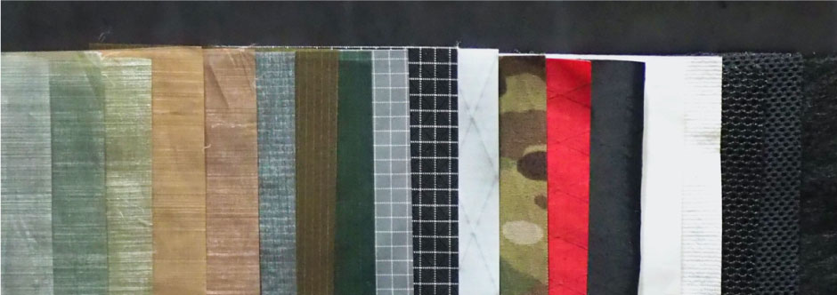
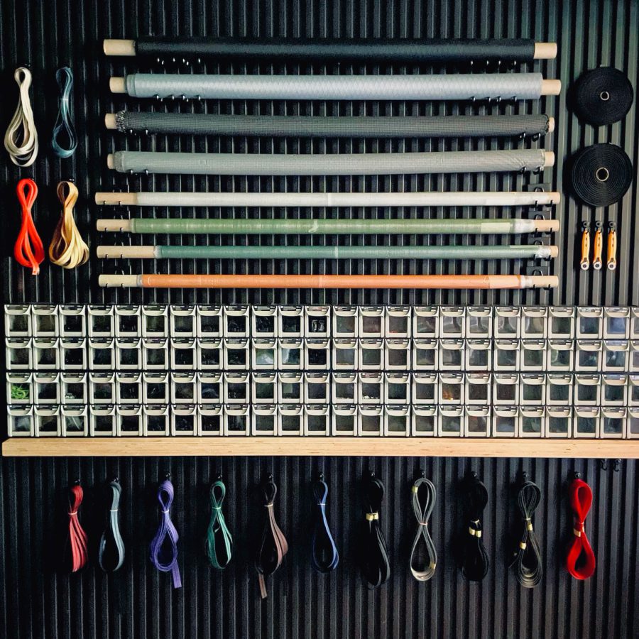 ULギアを自作するための生地、プラパーツ、ジッパー…
 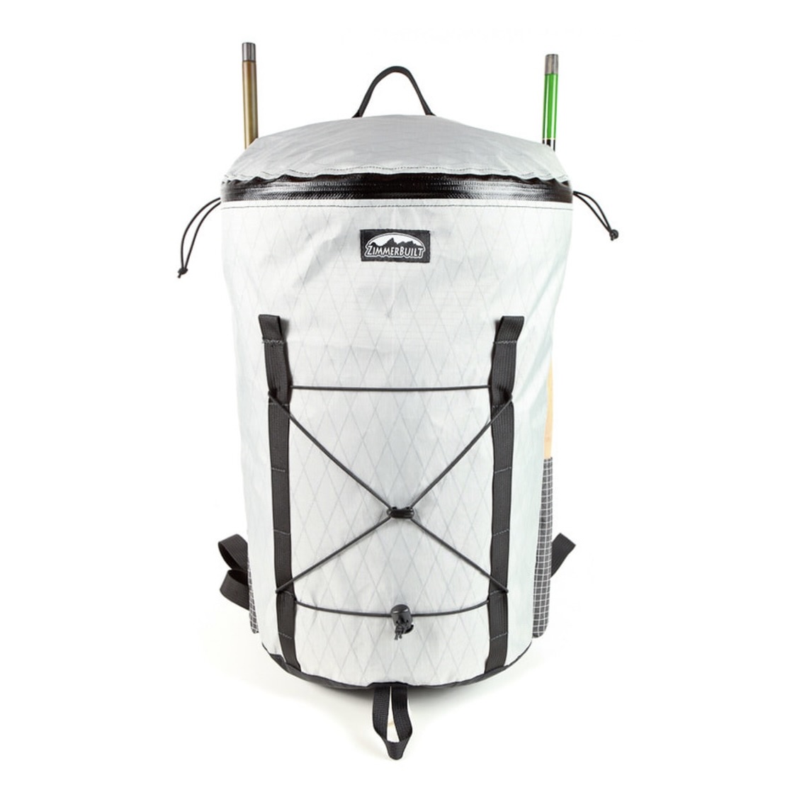 ZimmerBuilt | TailWater P…
 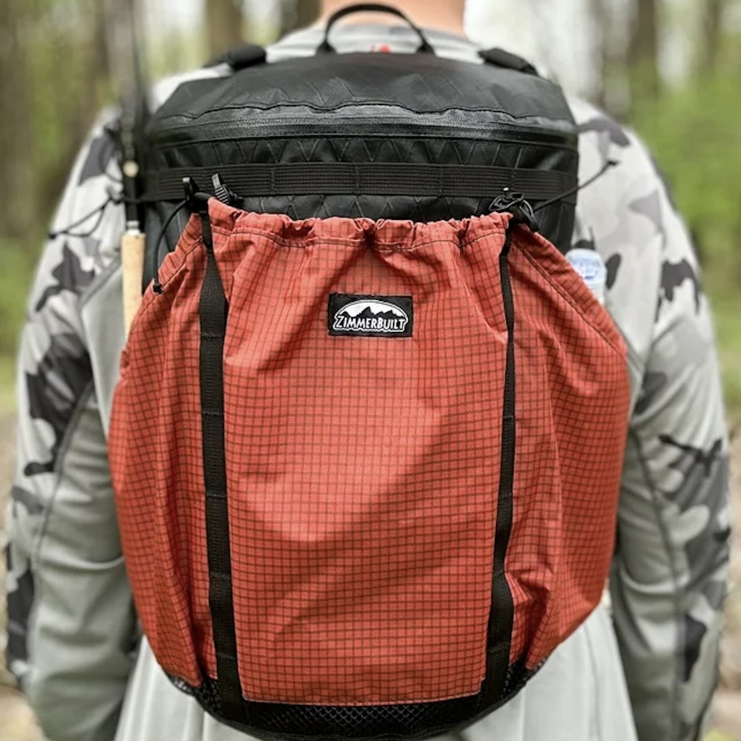 ZimmerBuilt | PocketWater…
 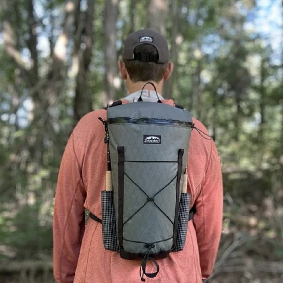 ZimmerBuilt | DeadDrift P…
 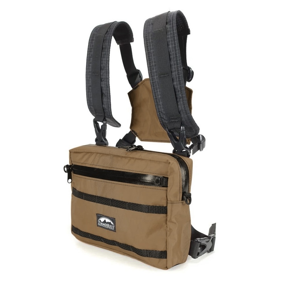 ZimmerBuilt | Arrowood Ch…
 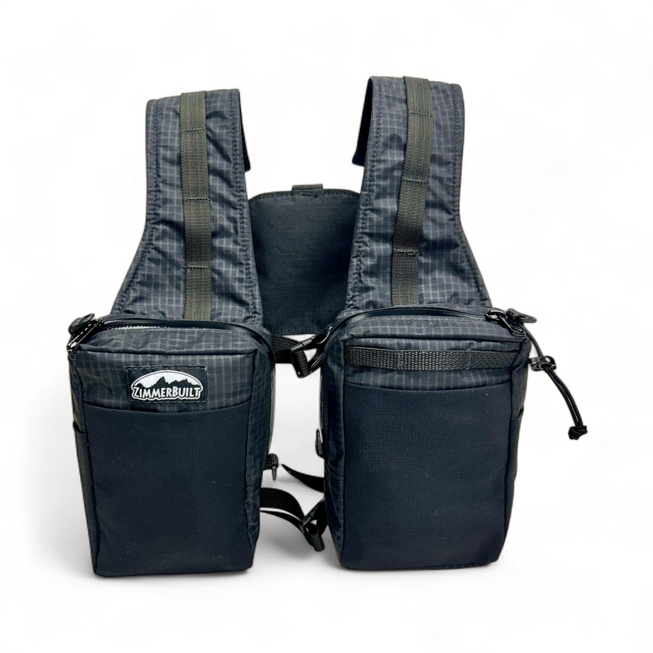 ZimmerBuilt | SplitShot C…
 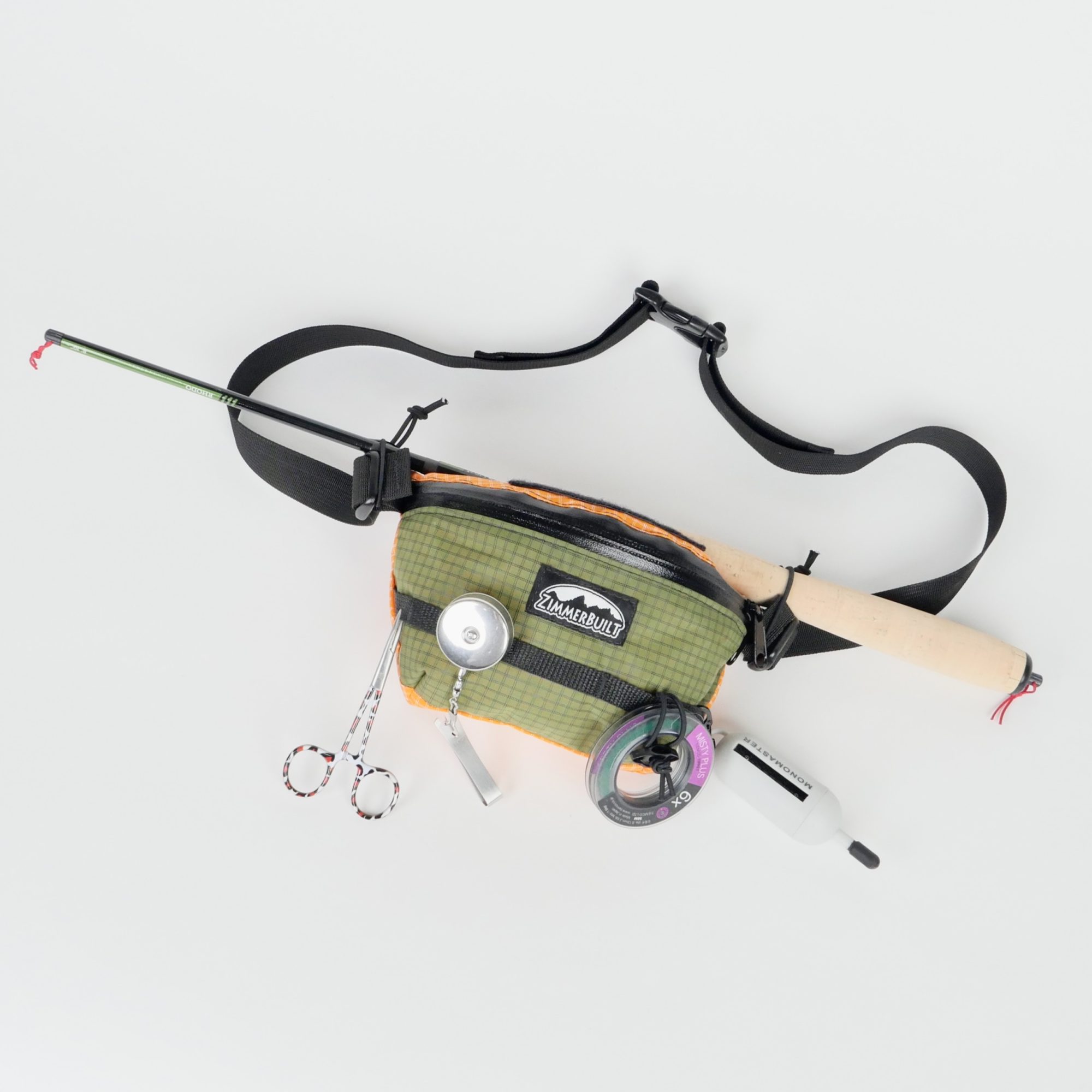 ZimmerBuilt | Darter Pack…
  ZimmerBuilt | QuickDraw (…
  ZimmerBuilt | Strap Pack …


