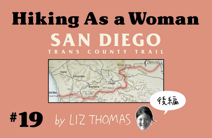
リズ・トーマスのハイキング・アズ・ア・ウーマン#19 / サンディエゴ・トランス・カウンティ・トレイルのスルーハイキング(後編)
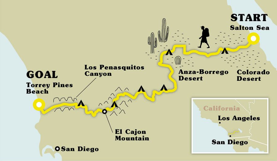
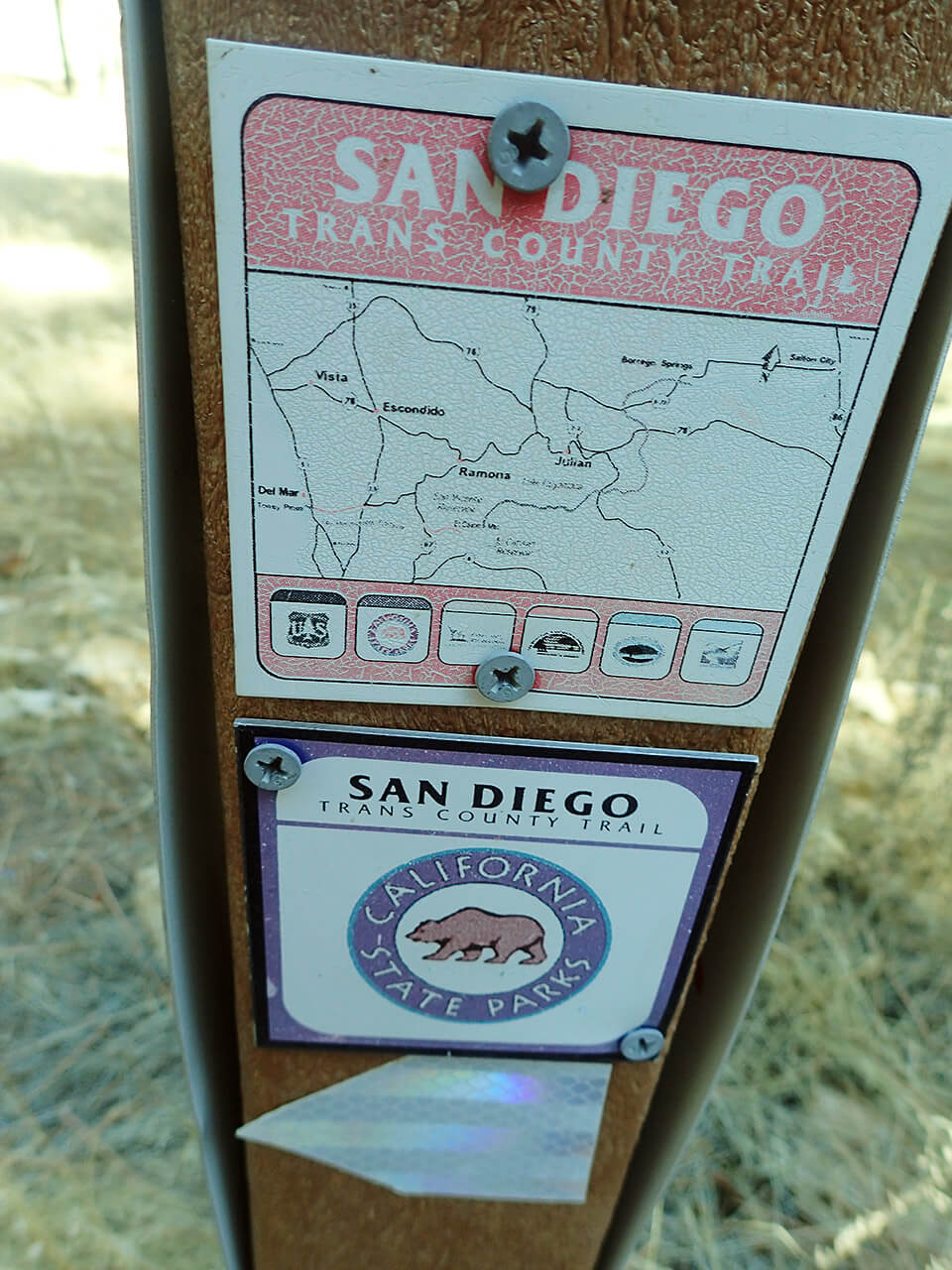
The San Diego Trans County Trail
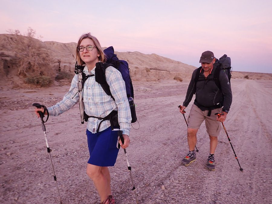
Day 4:Oriflamme camp to Pine Hills Fire Station
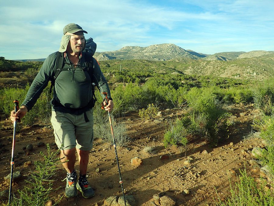
We woke with excitement knowing that today, we would come to the PCT. People who have walked the PCT before have an unworldly desire to see the sign again. Just to walk a short stretch of the trail once more brings about fond memories.
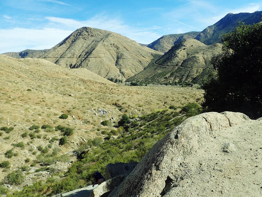
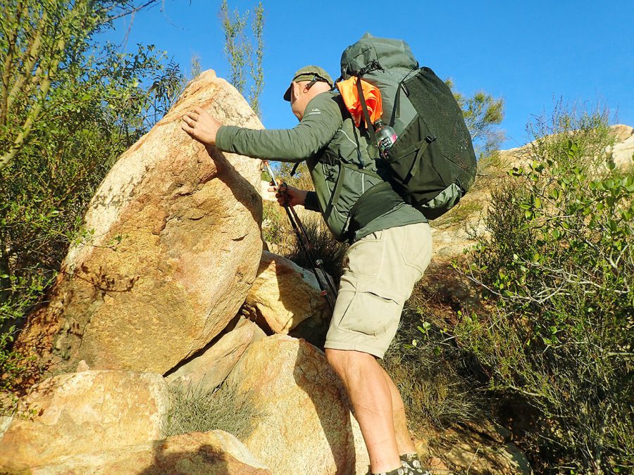
But to get there, we had to walk up a steep rocky old road through Oriflamme Canyon. When we mercifully topped out at the top of the pass, the views of the Cuyamaca Mountains and everything nearby reminded me of the PCT.
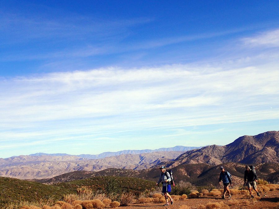
A few trucks and hunters were camped near the road. After a half-hearted attempt at yogi-ing some food off them, we descended the road. Our path crossed the PCT briefly. We all took photos with the sign. But then we resigned ourselves to continue on our journey heading towards the Sunrise Highway. The PCT also crosses the Sunrise Highway, although a few miles down the road from here. Still, it felt like coming home.
We continued on high open grassland with oaks to the Cuyamaca Rancho State Park and Cuyamaca Meadow Preserve. We were enthralled to suddenly be hiking among pine trees. But being hikers, we had our minds on food.
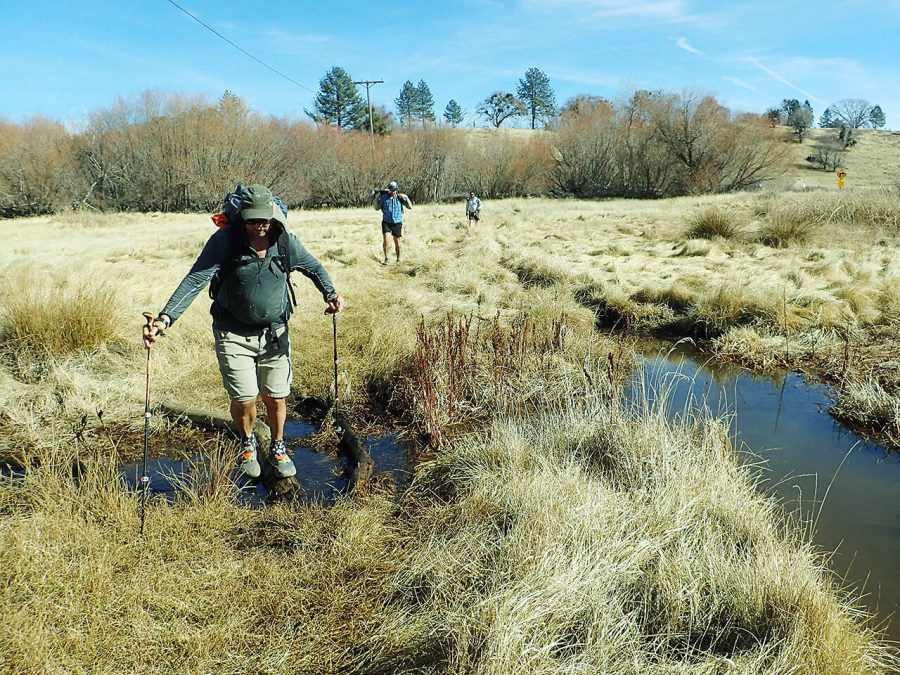
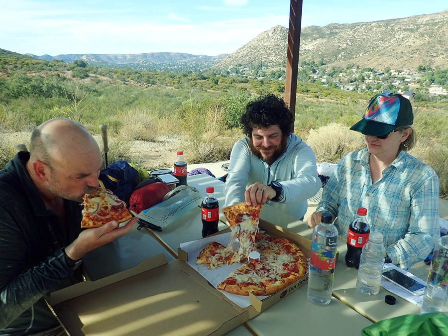
The Lake Cuyamaca store let us sit on the patio (so as not to let our hiker ways offend the nice families eating there) and eat. The small shop where we supplied seemed like everything was the same price, regardless of size or the “normal” price it would be at a store. We hiked out of the restaurant carrying chicken pot pies and continued on a peaceful roadwalk winding into the mountains.
At night, we reached the Pine Hills Fire Station. Our roadwalk had nothing but private land on the left and right side for miles, but the Fire Station has been kind enough to let hikers camp in their yard. Giant coulter pines dropped pineapple-sized pinecones near our heads as we (once again) cowboy camped. It felt good to be in the mountains among the pines, as crazy as it sounds to have that experience in January!
Day 5:Pine Hills Fire Station to northern flank of Rock Mountain
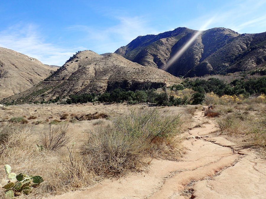
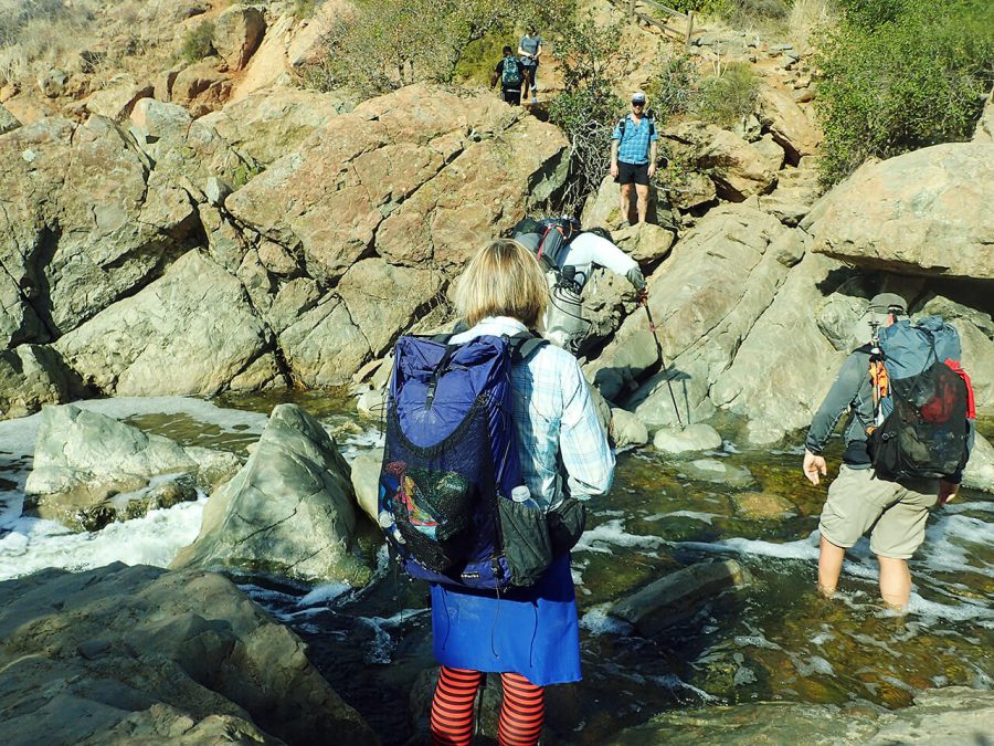
In the early morning, we walked a rough dirt road through the Indian Reservation before reaching (seemingly out of nowhere) a busy trailhead. Here, we took the path that few seemed to take, down the past mining claims into the valley below. Gone were the pine trees, though we crossed one of the first creeks we’ve seen on the route. Cedar Creek was mercifully flowing.
We descended down from the headwaters of the San Diego River. Nearby the tall Millard Falls tumbles down a massive monolith that is almost Yosemite-iszed. It was just a trickle, though. The tallest waterfall on the county is often dry.
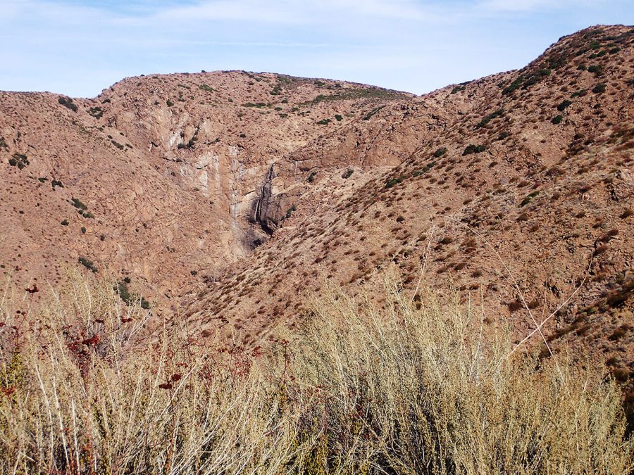
Our route through here used a historic and new trail to access another popular waterfall that runs almost year-round. Given that San Diego county has much desert and semi-arid land, it doesn’t have a lot of waterfalls. Cedar Creek Falls attracts teenagers and hikers from all around the county. Unfortunately, heat, dehydration, alcohol, and cliff-diving at the falls have all caused multiple fatalities and injuries, including of pet dogs dragged on the hike against their will. It’s a sad area, despite the beauty.
But the new trail had tons of people and was in excellent condition. We sped uphill towards the drinking fountain at the trailhead, but not without chastising a dayhiker who was throwing his trash by the side of the trail.
After cooling off in a shaded picnic area by the trailhead (we couldn’t believe it was January!) and having a pizza delivered to the trailhead, we continued on. It felt like we had hiked from the empty desert to civilization already. What more was to come?
That’s when things took a turn for the worse. The next part of trail exemplified some of the conflict surrounding the Trans San Diego Trail. The route goes through a neighborhood of ranch communities and despite there being plenty of open space, the public right of ways through here are minimal. To bypass some of these issues, we bushwhacked through thick chaparral to stay on public land. Unfortunately, we got lost during this bushwhack only to find ourselves barely making it a camping area by dark.
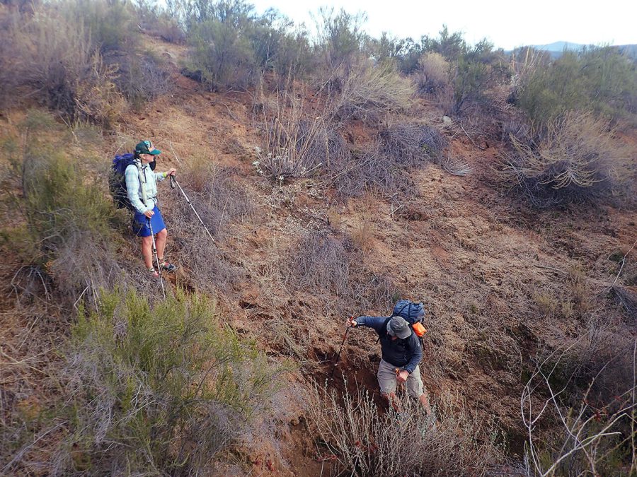
In the dark, we reached a gated road with Private Property signs. But our maps showed that the road was indeed the correct public right-of-way. I thought I saw the glare of a security camera hidden among the rocks, though my friends called me paranoid. Unsure what to do, we camped along the road on public land. Minutes later, a car slowly came out of the gate wandering the road. We all turned off our headlamps and kept quiet, worried he was looking for us.
Day 6:Northern flank of Rock Mountain to Hotel Off-Trail near Sycamore Canyon Open Space
After the “visit” from the car last night, we agreed the night to start this morning early. The road had a public right-of-way. Many groups of hikers had done this route, some just two days ago. But after about 15 minutes of confidently walking, at 6 am we were intercepted.
The interrogation was something out of an old Western movie. The gentleman lined us hikers up. A pistol was at his belt. We all stayed quiet and respectful. He couldn’t pin anything on us, and he let us go. But this was an all-time low for me as a hiker. We happily headed back to our bushwhack in the national forest.
In the middle of our brushy journey, we met three hikers walking east bound back towards the Salton Sea. We warned them of the man. When we had reception, we talked to the hikers who mapped the route. As the unofficial guardians who talked often with the Forest Service about the Trans San Diego route, they needed to know.
A few hours later, one reported back after talking with the Forest Service. The road is open to the public via a right-of-way, though there’s private property nearby. No other hiking groups since then—and none before—had ever had the negative experience we had. The Forest Service has since talked to the landowner. But it left us shaken and scared and appreciative that this never happens on the PCT.

We descended Cajon Peak, a popular dayhike. From here, we connected a series of open space parks and trails. Unfortunately, we entered the last park at sunset, right as the it was closing. To make things worse, a ranger saw us entering the park. But she was friendly and as soon as we told her what we were doing, didn’t seem to mind that we wanted to hike more miles that day.
When it got dark, we were in the first place where camping was not allowed. So we walked to a paved road, called up an Uber, and had them take us to a restaurant. Over dinner, we made a reservation at a hotel. After showers and a good night rest, we were ready for our last day on trail.
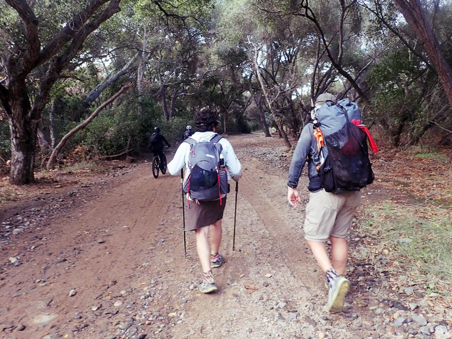
Day 7:Sycamore Canyon Open Space to Torrey Pine Beach/Pacific OceanAfter breakfast, we Uber-ed back to the trailhead and continued on a series of nice urban paths along Penesquitos Creek. This section felt much more developed and we saw plenty of people. It was encouraging to know that though this place wasn’t as scenic as other places along the Trans San Diego, that it was so easy for so many people to access without the long drive to the mountains.
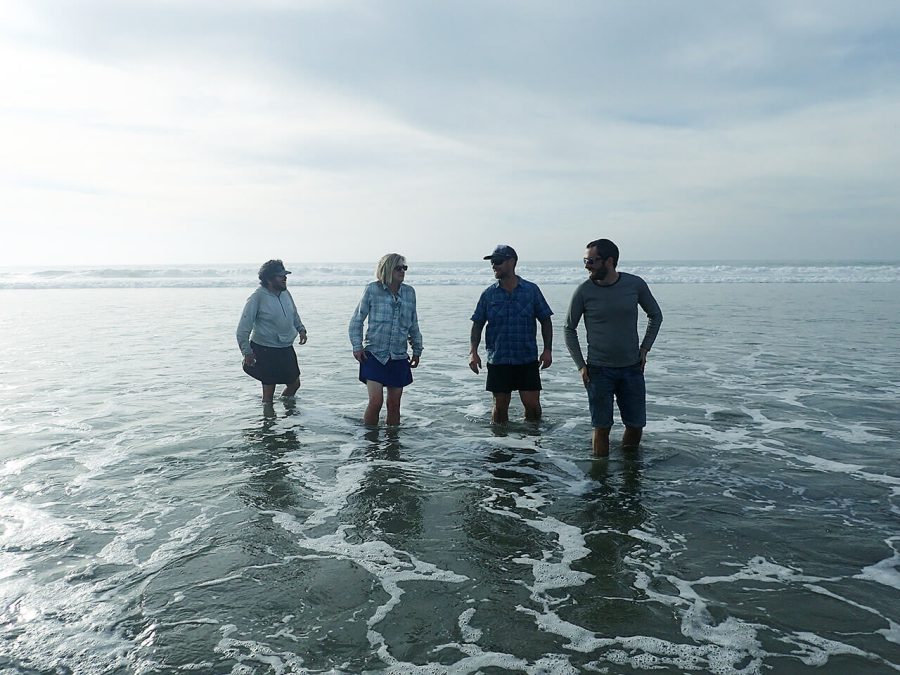
After a few stops for croissants and tacos, the Trans San Diego County Trail ends at Torrey Pines Beach on the Pacific ocean.
It felt incredible to have walked from the wild desert to the pine-covered National Forest through chaparral and suburbia to come to the beach.
The Trans San Diego route as we hiked it was 153 miles long. It was the perfect length for a hiker-friend reunion. It was fun to meet together for a winter hike that’s almost always free of snow.
But most importantly, the Trans San Diego Trail shows what is possible when hikers get together to advocate for their own distance trail. It’s a route that survives because of those who love and support it. As more people hike it, the Trans San Diego will only become stronger and a better route to enjoy.
Related Articles

リズ・トーマスのハイキング・アズ・ア・ウーマン#19 / サンディエゴ・トランス・カウンティ・トレイルのスルーハイキング(前編)
- « 前へ
- 2 / 2
- 次へ »
TAGS:


 ULギアを自作するための生地、プラパーツ、ジッパー…
  Tenkara USA | RHODO (ロード)
  Tenkara USA | YAMA (ヤマ)
  Tenkara USA | Rod Cases (…
  Tenkara USA | tenkara kit…
  Tenkara USA | Forceps & …
  Tenkara USA | The Keeper …
  Tenkara USA | 12 Tenkara …
  Tenkara USA | Tenkara Lev…