ジェフ・キッシュのHIKER LIFE with PNT | #06 パシフィック・ノースウエスト・トレイルのスルーハイキング (その2)
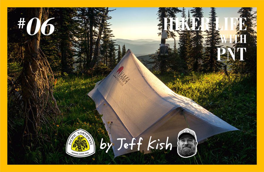
Thru-Hiking the Pacific Northwest Trail (part2)
Out of Eureka, Montana the PNT follows a converted railbed that was originally constructed between 1901 and 1904 as an extension of the Great Northern Railroad. The trail parallels the Tobacco River as it flows northwest into Lake Koocanusa, a reservoir created by the damming of the Kootenai River in 1972.
As I walked along the old railbed, grasshoppers leapt ahead of my shins as they pushed through the grass, fawns played on the far bank of the river, and bald eagles and ospreys flew overhead. The scene was idyllic.
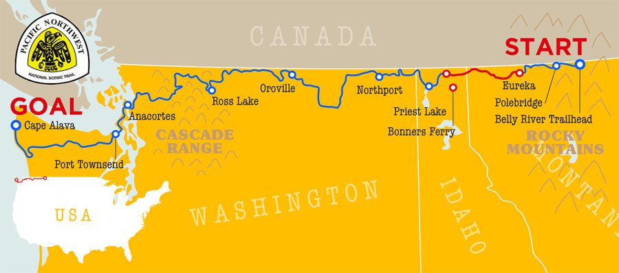
Before too long, I reached the lake itself, which is quite large, and is estimated to hold 13% of all the water in the Columbia River system. I’d encounter Columbia River tributaries (and the Columbia River itself) for hundreds of miles to come along the PNT.
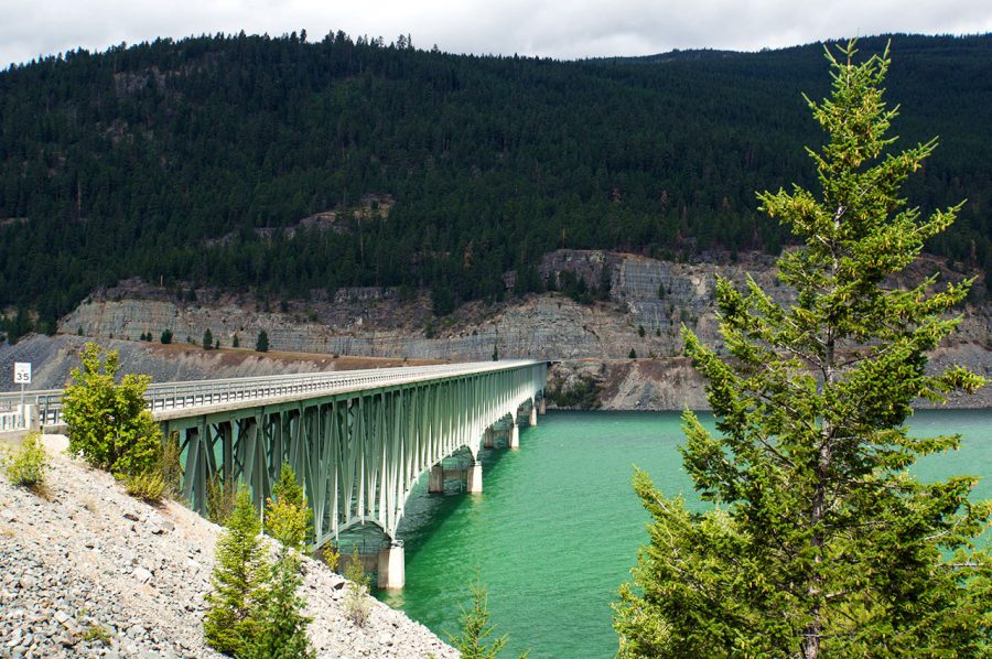
Montana’s longest and tallest bridge. The PNT follows the Koocanusa Bridge across lake Koocanusa before climbing into the Purcell Mountains.
To cross Lake Koocanusa, the PNT uses the Koocanusa Bridge, which is the longest and tallest bridge in the state of Montana. It was amazing to think that 500 hundred miles (and several states) away, PCT hikers would be crossing the Columbia River on the Bridge of the Gods, and some of the water that would be passing beneath their feet would be from up here along the PNT in Montana.
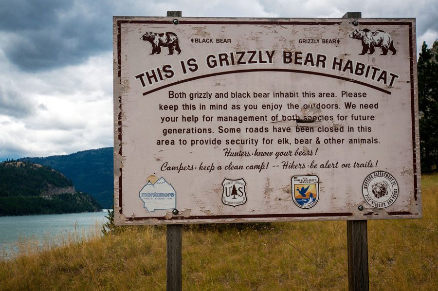
A sign on the western shore of Lake Koocanusa alerts visitors to the presence of grizzly bears in the upcoming section.
On the western edge of the bridge, hikers are greeted by a large two-post sign, informing them that “This is Grizzly Bear Habitat.” In fact, every mile of the PNT up until this point has been, and these magnificent bears continue to inhabit the PNT corridor for another couple of hundred miles west of this point as well. Bears that range east of the lake belong to the Northern Continental Divide Ecosystem population, while those immediately west of the lake are largely isolated by the lake itself, and form their own small group known as the Cabinet-Yaak population. I’d spend the next couple of days traversing their range.
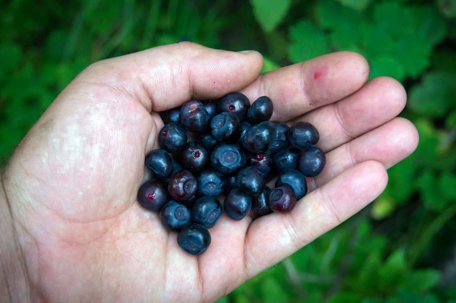
Berries are plentiful along the PNT.
From the lake, the PNT proceeds to switchback its way through the forest and into the eastern Purcell Mountains. As I hiked this section of trail, I stained my fingers and tongue purple while grazing on ripe berries along the way. This section of trail climbs to access the Webb Mountain Lookout, which was constructed in 1959 and used for 40 years to monitor local wildfires. These days, the tower is available for the public to rent for the night, but reservations must be made in advance, which can be challenging for thru-hikers to manage during a long distance hike.
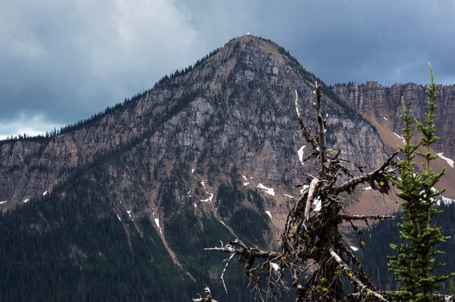
The PNT passes many lookout towers in Northwest Montana, including this one, visible high atop this prominent peak.
Fans of historic lookouts have much to enjoy along the PNT in this section, which includes more of these towers than any other section along the length of the trail. From Webb Mountain, the PNT winds from peak to peak to maintain excellent views of the surrounding landscape of the eastern Purcell’s until Mount Henry, the site of another historic lookout. From here, the trail descends to another rentable historic structure, the Upper Ford Ranger Station, which was constructed in 1926 by the local forest service.
Now about halfway across the Purcells, hikers have the option to visit the small community of Yaak, Montana. Situated an hour’s drive north into the forest from the nearest highway, this remote outpost hosts a small mercantile (which accepts resupply boxes), two taverns and not much else. But what more does a hiker need?
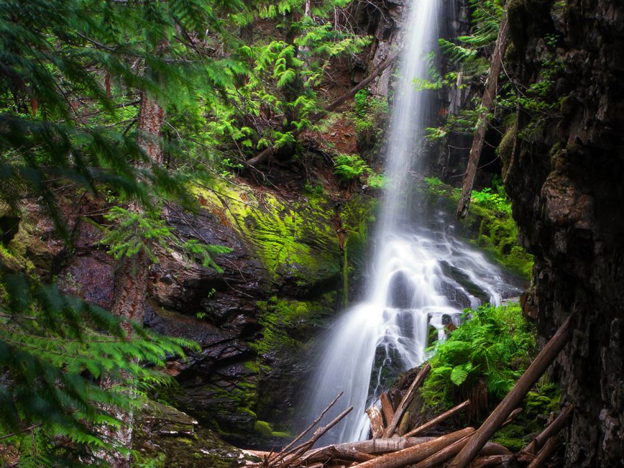
Turner Falls in Montana’s Yaak Valley.
I opted to continue on past Yaak during my 2014thru-hike, due to its close proximity to Eureka and my next stop in Idaho, but I’ve come back to northwest Montana many times, and have since learned why its PNT hiker favorite.
From the junction with the road to Yaak, I continued west, and began to climb back into the remote highcountry toward Garver Mountain, which hosts another historic lookout tower. I pressed on past Garver however, in pursuit of some of the most stunning and wild alpine terrain in this section: the Northwest Peaks Scenic Area.
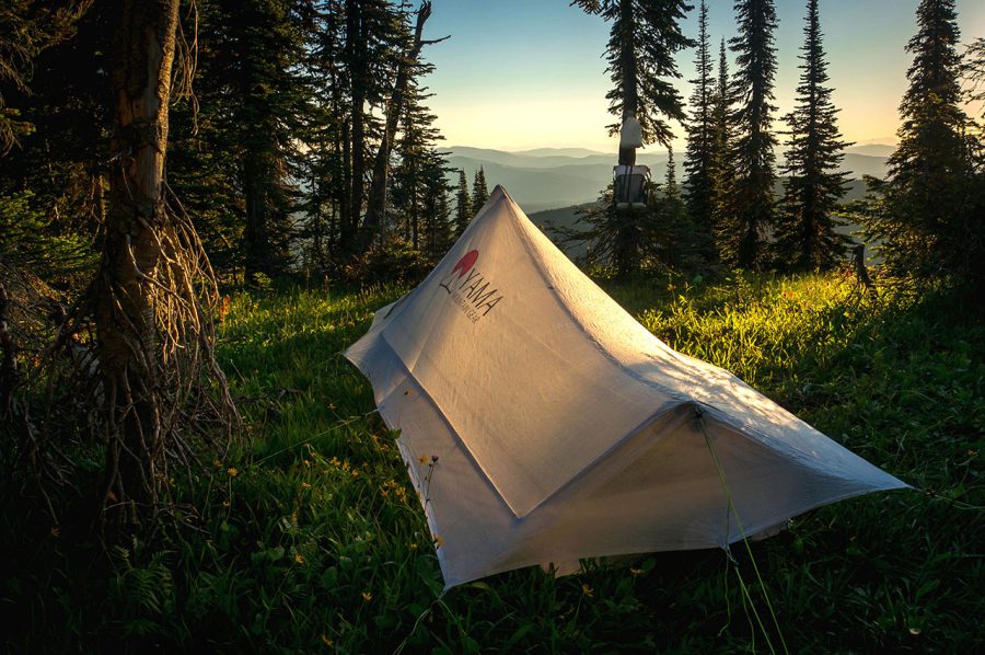
My camp in the Northwest Peaks area.
Hikers will find two routes through the area described in all maps and guides for the PNT. The first remains to the south near Rock Candy Mountain, and the second loops to the north over Northwest Peak itself (as well as Davis Mountain). Both routes are stunning, but the added adventure of ridgeline scrambling on the northern route is a thru-hiker favorite.
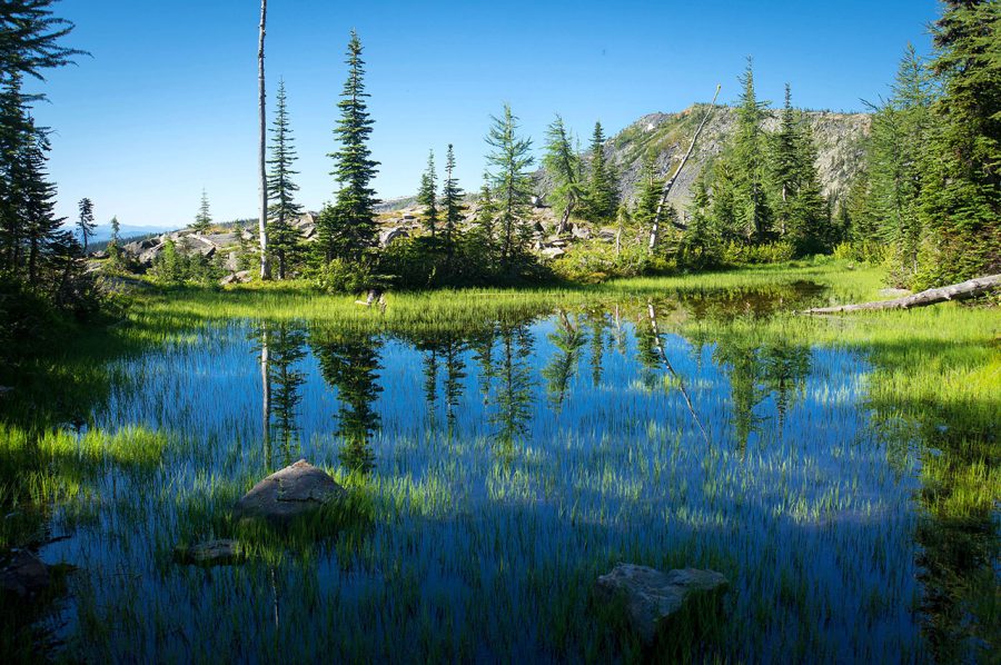
A marshy alpine meadow near the Idaho border.
It was in this section that I encountered a grizzly bear biologist who was quite eager to chat about his work and to hear about my travels. His job was to hang pieces of barbed wire at sites throughout the forest, and then monitor them for bits of fur snagged from passing bears. He knew every bear in the area, and how they were related to each other through DNA tests conducted on the samples he collected. His eagerness for conversation suggested that it was lonely work.
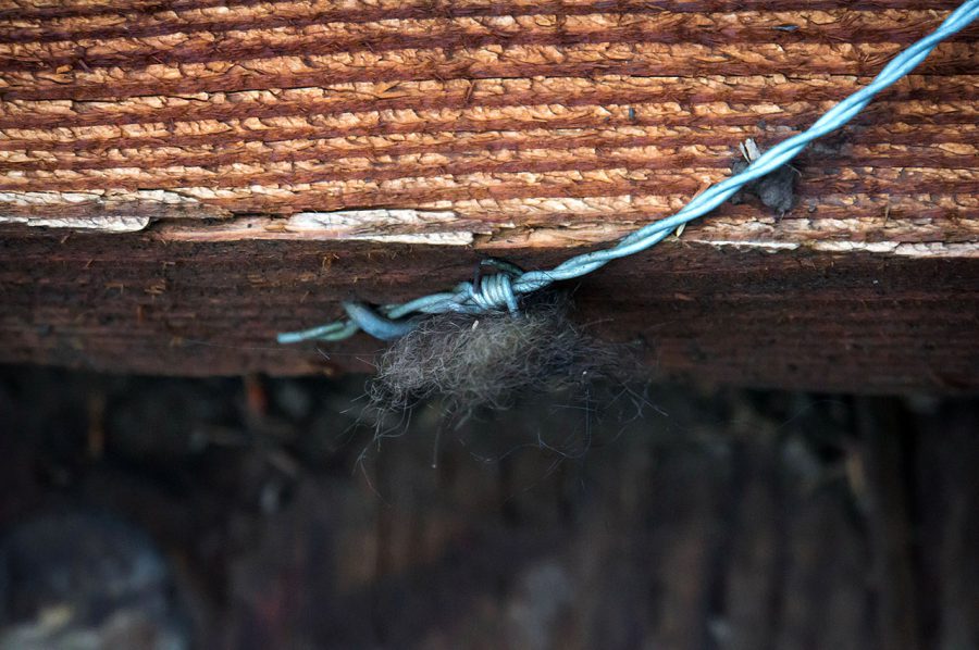
A section of barbed wire snags samples of bear fur for testing in the Cabinet-Yaak ecosystem.
He invited me to spend the night at an old trapper camp he was staying at and even promised to share a growler of homebrew that he had stashed there, but I had to get my miles, and after a nice conversation, I continued on toward the Idaho border.
Once in Idaho, the trail follows Ruby Ridge and then descends down into the Moyie River Valley. Once across the river, it climbs again to the summit of Bussard Mountain. At dusk, I laid out my sleeping pad on the summit and took in views of the places I’d been and those that lie ahead. Down below, in the valley to the south, the lights from Bonners Ferry, Idaho illuminated the night sky.
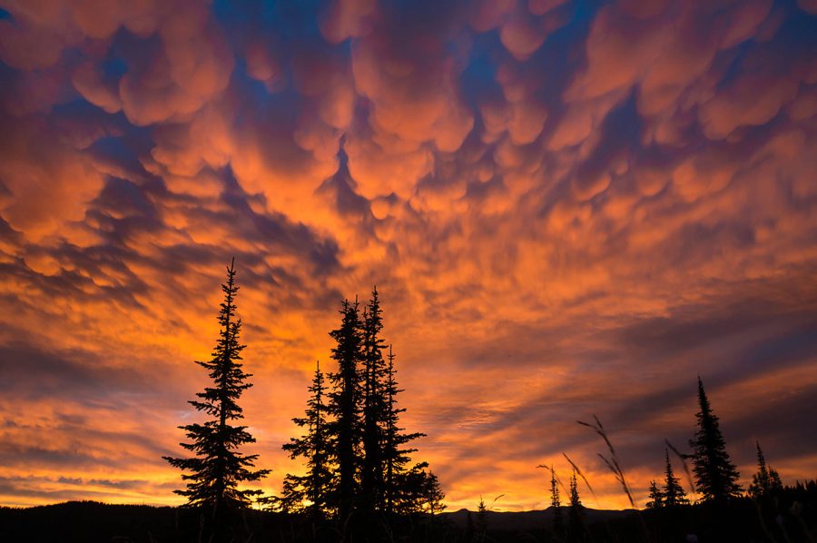
The sunrise from atop Bussard Mountain.
To the west, the Selkirk mountains climbed impressively from the valley floor.
I fell asleep under the stars, and awoke the next day to one of the most brilliant sunrises I’ve ever seen in my life. After snapping a few photos, I packed up and descended to a highway crossing, where I stuck out my thumb to catch a ride into town.
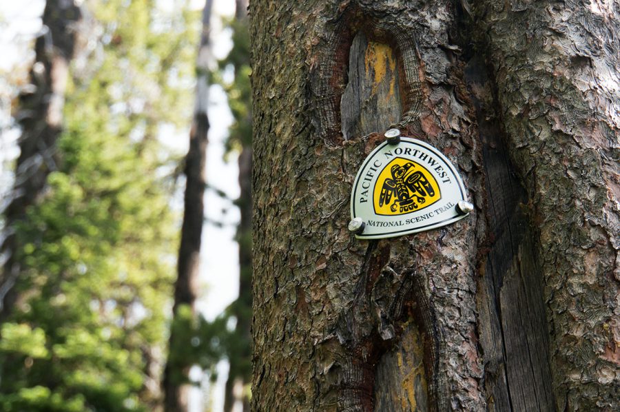
Kootenai National Forest was one of the few sections of the PNT to have signage during my thru-hike in 2014. Signs are much more common these days.
Related Articles
ジェフ・キッシュのHIKER LIFE with PNT | #05 パシフィック・ノースウエスト・トレイルのスルーハイキング (その1)
ジェフ・キッシュのHIKER LIFE with PNT | #03 僕がパシフィック・ノースウエスト・トレイルに惚れた理由
- « 前へ
- 2 / 2
- 次へ »
TAGS:



 ULギアを自作するための生地、プラパーツ、ジッパー…
  ZimmerBuilt | TailWater P…
  ZimmerBuilt | PocketWater…
  ZimmerBuilt | DeadDrift P…
  ZimmerBuilt | Arrowood Ch…
  ZimmerBuilt | SplitShot C…
 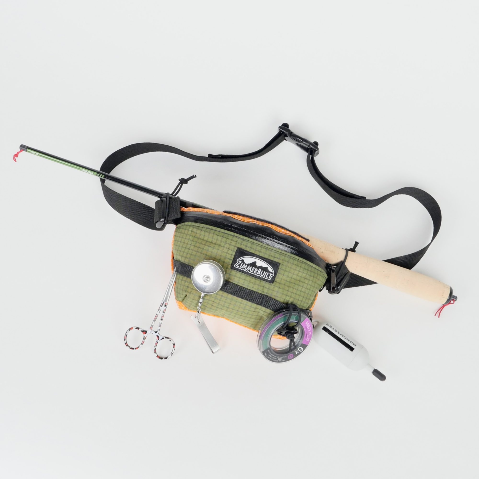 ZimmerBuilt | Darter Pack…
 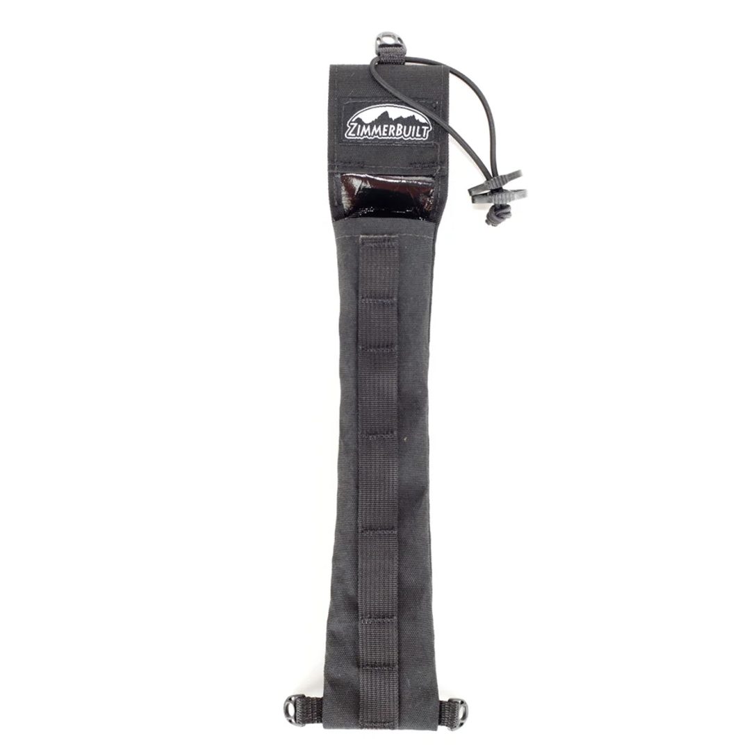 ZimmerBuilt | QuickDraw (…
 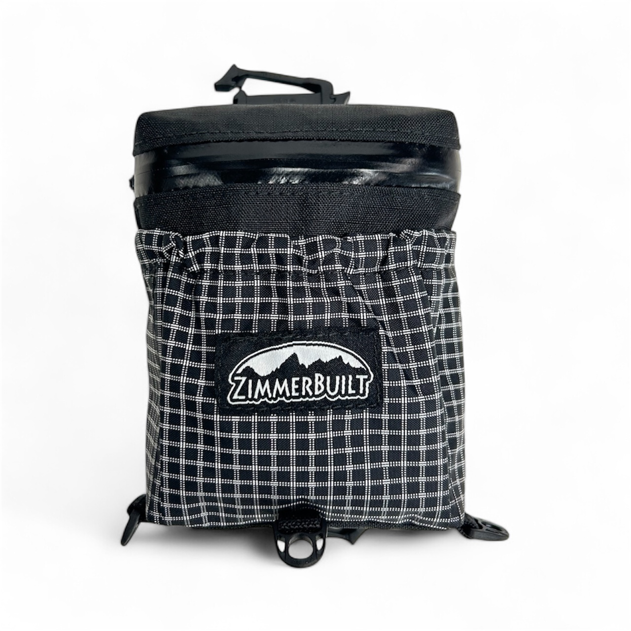 ZimmerBuilt | Strap Pack …


