アルバニア・ヴョサ川 ヨーロッパ最後の原生河川、パタゴニアの映画『Blue Heart』の川を旅する(前編) | パックラフト・アディクト #62
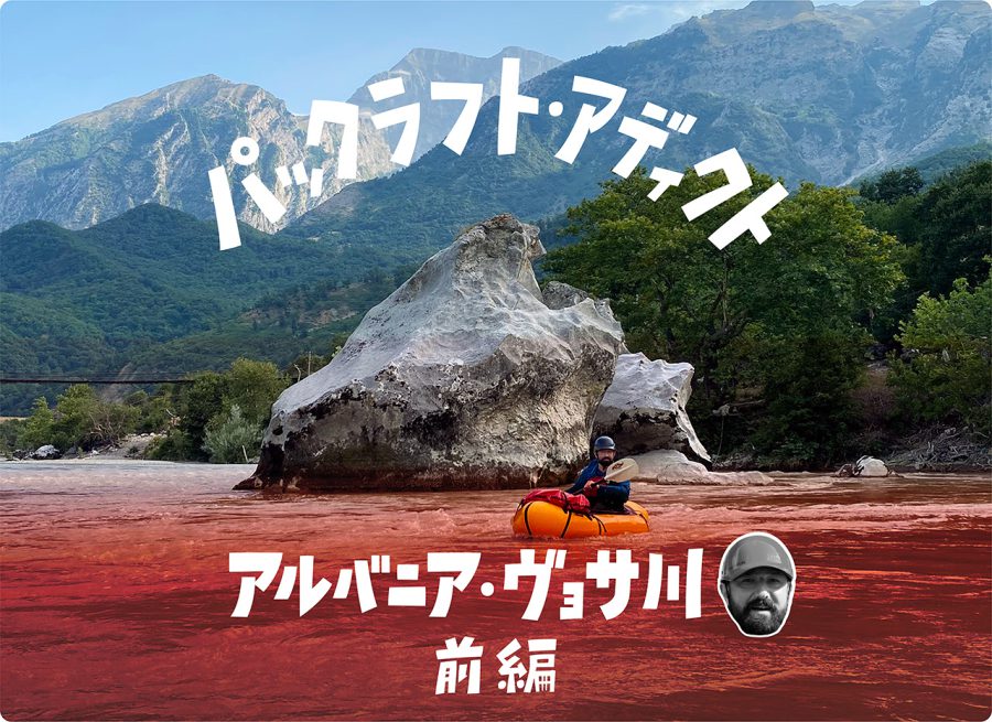
The Vjosa Packrafting Trip: From Bridge to Bridge in 7 Days
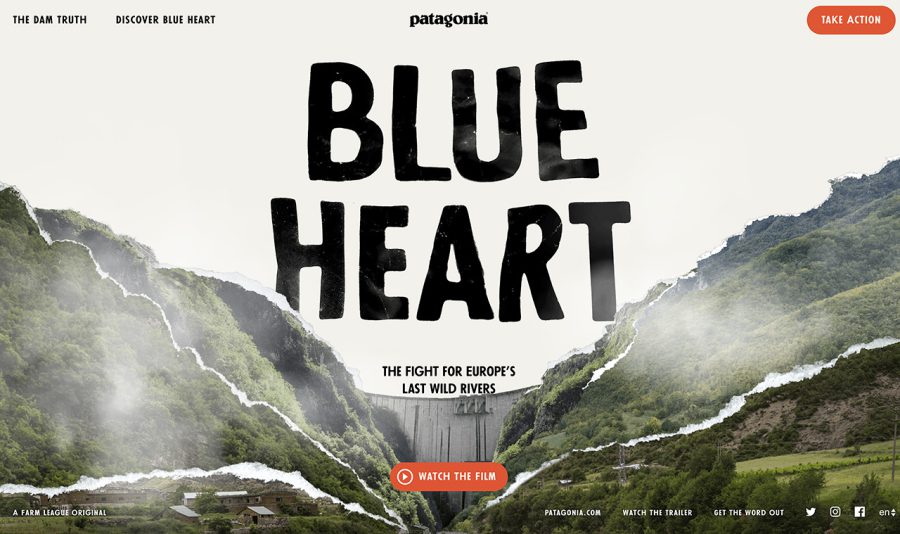
The first time I heard about the Vjosa was in 2018 during the viewing of Patagonia’s film, The Blue Heart, at the European Packrafting Meet-up. This film tells the story of the last wild rivers in Europe, which are in the Balkan area, and the people fighting to protect them against plans of building over 3400 dams and all irreversible and devastating consequences this would mean for the landscape, biodiversity, and local communities. One of the stories told was about the Vjosa, which is believed to be the last truly wild river in Europe outside of Russia.
Arising in the Pindus mountains in the north-west of Greece (where it is called the Aoös), it flows for 272 km to the Adriatic Sea, the last 192 km of which are in Albania. Being one of the main rivers in that country, it’s threated by plans to construct seven large dams that would mean the end of this unique and still much ‘undiscovered’ environment.
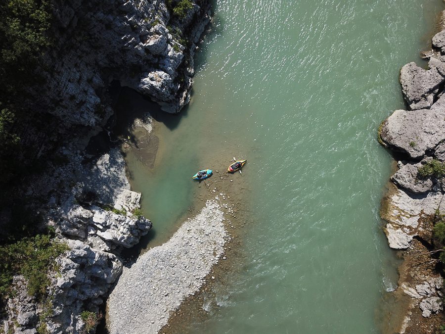
The film showed scenic views of wide flood plains and the meandering Vjosa river split up in multiple channels, all against the backdrop of stunning mountains. This really captivated my imagination and made me think that I would like to visit those places and paddle that river one day.
So, this year, when planning the ‘big’ summer trip I contacted my Dutch packrafting friend, Didier, and asked him if he would be interested to join me.
“Which river do you have in mind?” he asked me.
“The Vjosa,” suggested I.
“I am in,” Didier replied immediately.
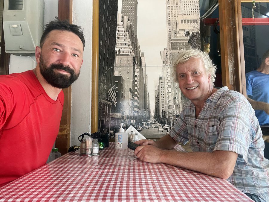
He explained that he had also been looking at paddling this river for a while. So, it was settled – we were going to paddle the Vjosa.
As it turned out, this was also a perfect moment to do it for at least two reasons. Firstly, this summer was extremely dry in Europe, which, combined with low snowfall in the winter, meant that many rivers just did not have enough water. Many of them, even big ones, ran almost dry. The Vjosa, on the other hand, still had enough. Mostly that is – I will get back to that later.
The second reason is that we managed to paddle the river while it is still not very ‘busy,’ which, I suspect will soon change. Over the past few years, I noticed an increase in the interest in the river among paddlers, which is likely to grow even further as just a few weeks before our trip, the Vjosa and its story hit the international news.
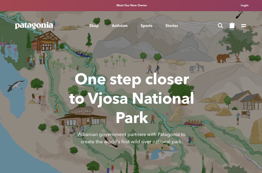
The Albanian government signed a memorandum of understanding with international company Patagonia to develop the Vjosa National Park, which will be Europe’s first wild river park. While already being a “managed nature reserve” since 2020, becoming a national park should elevate the status of the protection and prohibit any economic activities that can affect the river negatively.
There are also an increasing number of organized trips on the river. For example, around the same time that the memorandum was signed, a packrafting tour company from Germany organized a trip to Albania and paddled ‘the fun bits’ of the Vjosa (which are mostly in the upper part, near the border with Greece). Unlike them, we did not want to paddle just parts of the river – we wanted to paddle the whole of it. From Greece to the Adriatic Sea. Sort of a source-to-sea trip. And that is what we did. Almost.
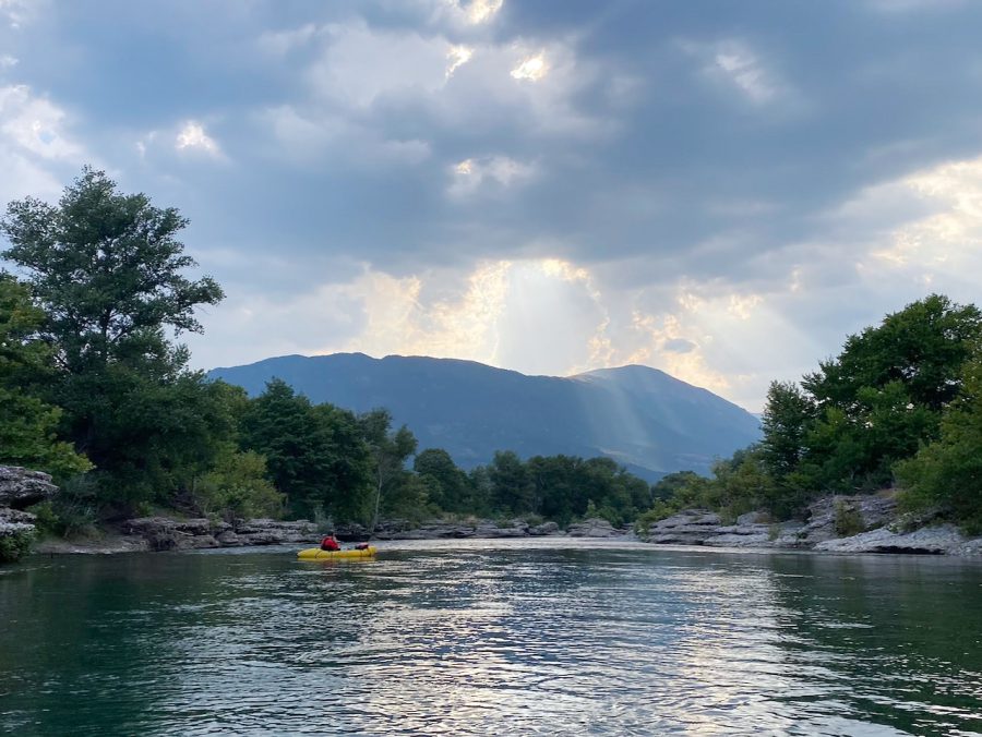
While preparing for the trip, Didier, who is really good at planning and finding information, came across a German blogpost that described a trip of two friends in an inflatable canoe that they had in May 2019. What they did was exactly the same what we wanted to do – starting as high up in Greece as possible (in Konitsa) and then paddle all the way down over 8 days.
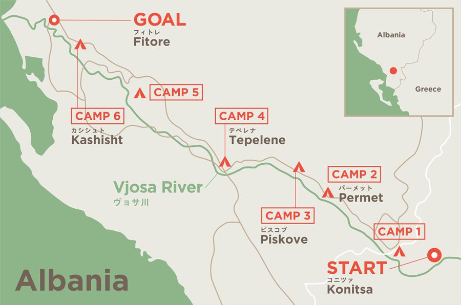
It turned out that starting at Konitsa was indeed a good idea as above it the Vjosa goes through a narrow gorge, only the lower part of which, up to a monastery of Panagias Stomiou is accessible. The gorge itself is runnable only in high water and it is Class III-V – which is by far above our paygrade. Below Konitsa, however, the river opens up significantly and becomes much tamer.
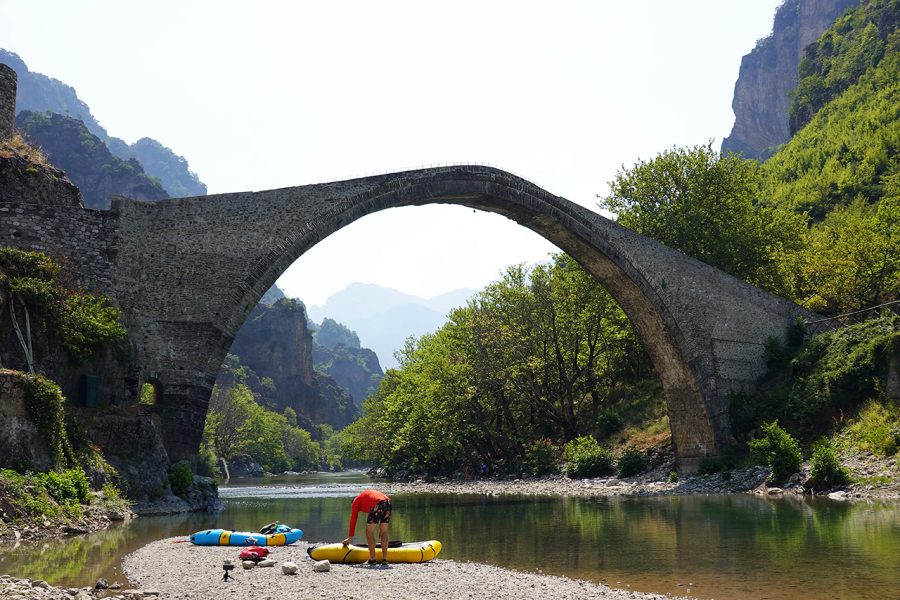
The entrance to the gorge is marked by a narrow 19th century footbridge. Its slender single arch rises almost 20 meters above the river. And that was exactly the place from where we started our trip the day after (Wednesday, July 27, 2022).
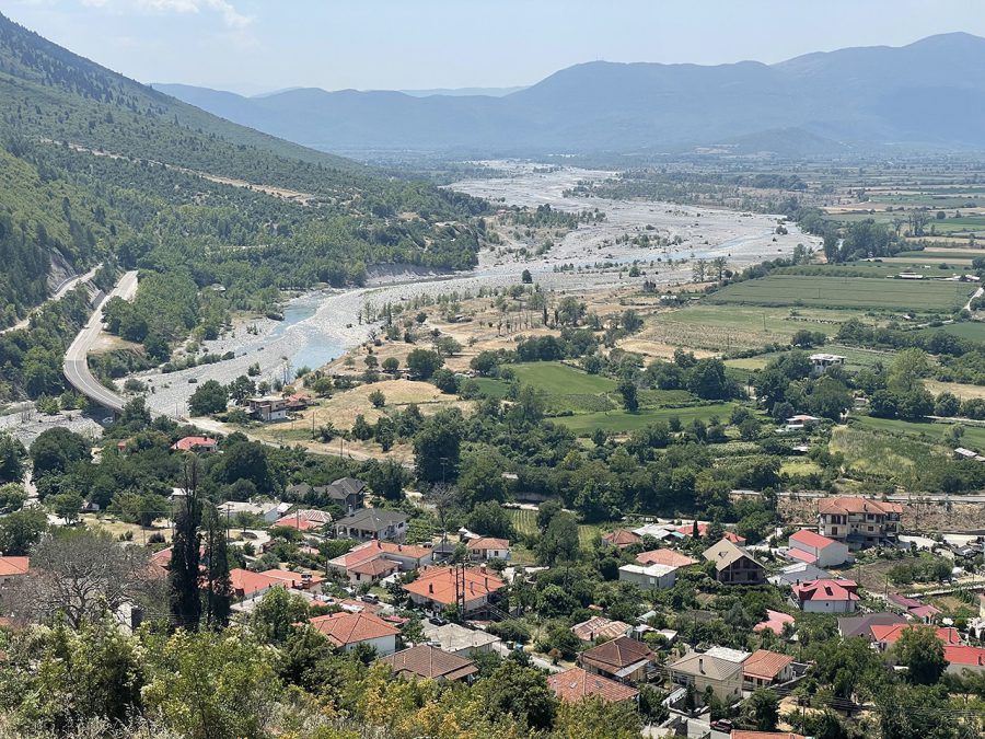
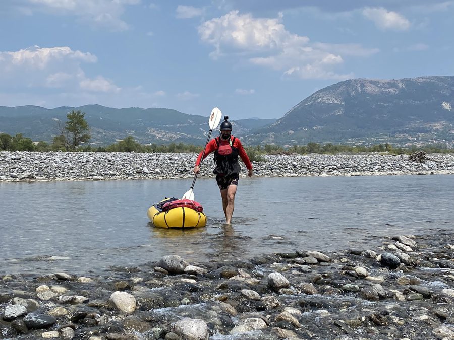
At first the progress was calm but slow. Having passed through the mountains, the river ran free though the floodplains covered in gravel, its many arms splitting up just to merge together again. It was clear that when the water levels are high, this river can be a force to be reckoned with. But at the moment, the water level was very low, and we walked through the river pulling our packrafts more than we paddled.
Almost immediately I realized that taking my Sea-to-Summit paddling shoes with soft soles was a mistake – I felt every stone as I gingerly made my way down the river. (Didier’s idea of using hiking shoes with hard soles was definitely a better one.)
What was interesting to see were several Egyptian vultures – a relatively small lightly-coloured bird of pray with black feathers in the wings. In the past, they used to be rather common. In the recent years, however, their population had decreased rapidly. It was the first time for me to see them. I think I would not even know what those were if not for the information panel next to the old Konitsa Bridge and a mural in the town.
After around 10 km, the Voidomatis River with its translucent waters joined the Vjosa, which meant the end of my suffering – from that point on we could paddle uninterruptedly. We did have to swat the flies that suddenly appeared from seemingly nowhere. “Clap for the river” was what I called it as I frantically tried to fight those annoying pests. Still being able to paddle felt like a celebration.
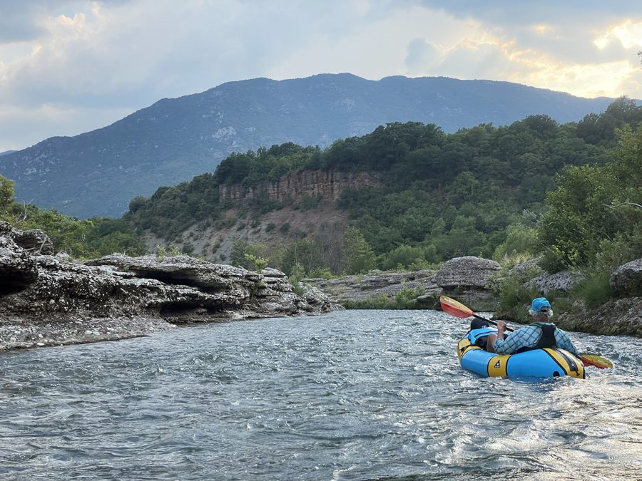
According to the weather forecast, it was supposed to rain. But it did not. At least not where we were. From time to time, however, we could hear the rumble of distant thunder, which gradually started to approach us.
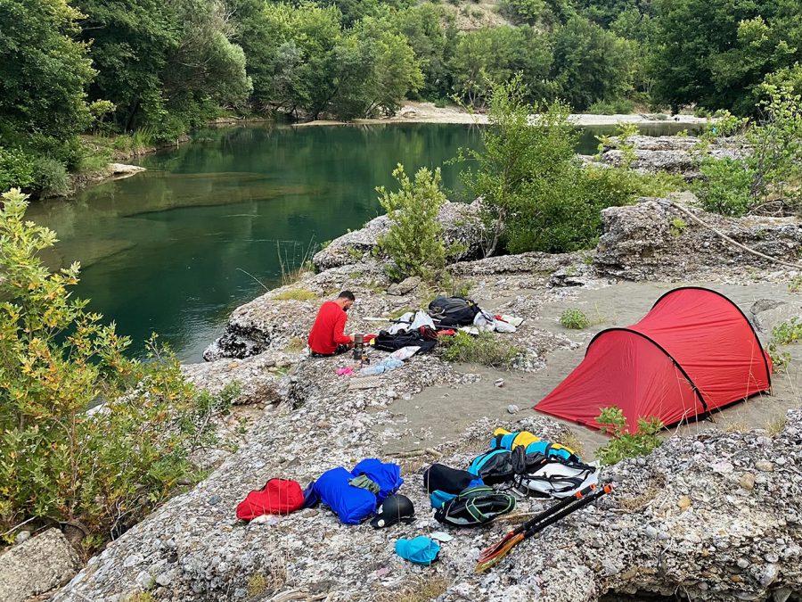
The river became narrower, and its banks became higher. While at the beginning it was easy to find a camping spot, they were few and far in between now. That is why when it was time to find a campsite for the night, we struggled with it. What looked like a good field to pitch a tent according to the google maps, in reality turned out to be not suitable at all. It was also not easy to find a place to climb up the steep stone banks, that were a couple of meters above the water.
Eventually, we managed to find a good spot near the ruins of an old bridge, just a kilometer or so from the border. As the rumbles of thunder were getting closer we decided to pitch a tent, which was a good call, as it started to rain soon after. We finished the day with a hot dinner that we ate hiding from the rain under the bridge.
The next day our Albanian adventure was about to begin.
To be continued…
- « 前へ
- 2 / 2
- 次へ »
TAGS:

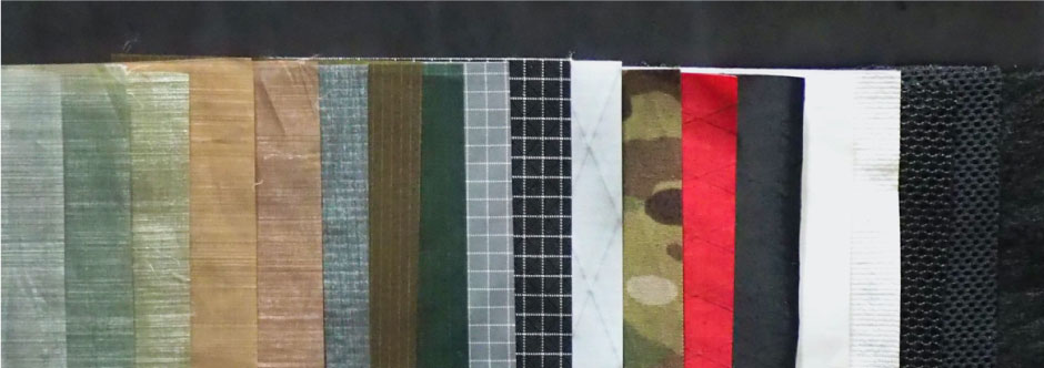
 ULギアを自作するための生地、プラパーツ、ジッパー…
  ZimmerBuilt | TailWater P…
  ZimmerBuilt | PocketWater…
  ZimmerBuilt | DeadDrift P…
  ZimmerBuilt | Arrowood Ch…
  ZimmerBuilt | SplitShot C…
  ZimmerBuilt | Darter Pack…
  ZimmerBuilt | QuickDraw (…
  ZimmerBuilt | Strap Pack …