リズ・トーマスのハイキング・アズ・ア・ウーマン#26 / How Thru-hiking has changed <後編> GPS・通信技術の進化とハイカーの変化

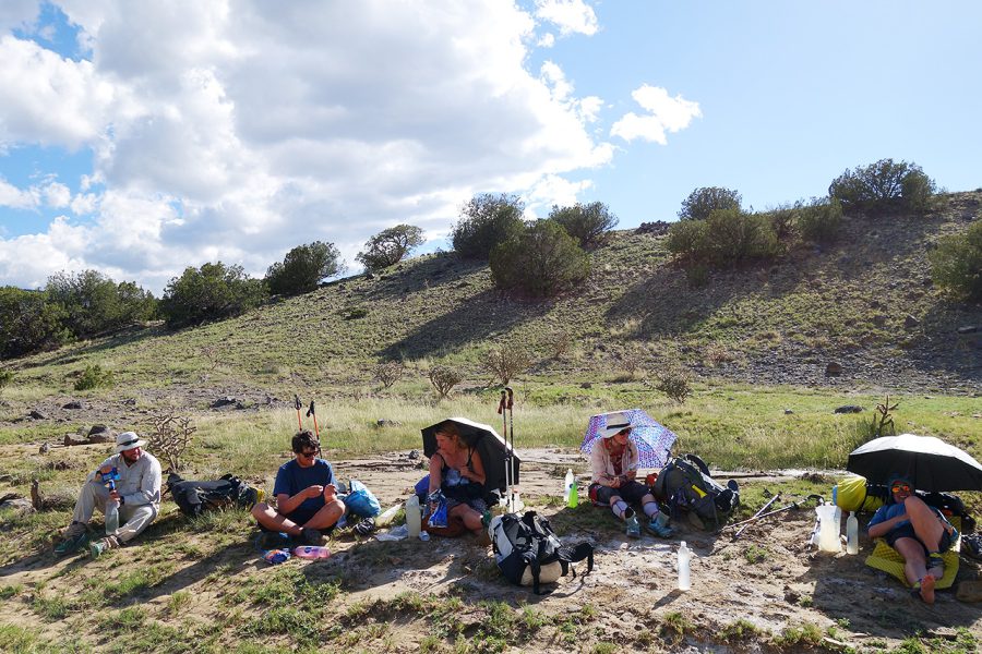
Long Distance Hiker Report 2020
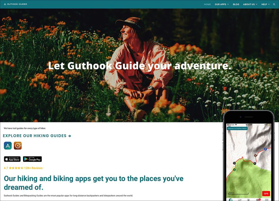
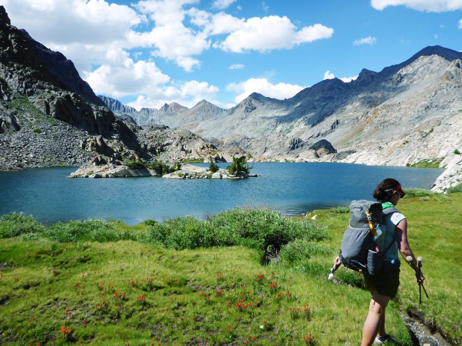
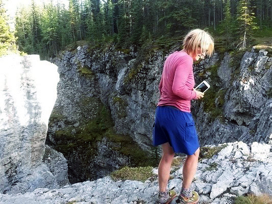
Navigation apps make it easier than ever to get into the backcountry
Getting lost is one of the main fears that discourages would-be thru-hikers from hiking a long trail. In the past 5 years, cell phones with long-lived batteries and apps like Guthook also make navigation on the long trails easier. GPS units have existed for more than 20 years, but they have always been some combination of expensive, heavy, and/or difficult to use. In comparison, a phone app is affordable, works on a device most thru-hikers are already carrying, and has a great user interface and experience. With apps, more hikers than ever can navigate in the backcountry with similar ease to navigating city streets in their car.
There’s controversy about apps, though. In the past, hikers needed to know map and compass skills and navigation to thru-hike. To gain these skills, a hiker usually had spent a significant amount of time in the backcountry, gaining other skills along the way.
Many people are concerned that the app makes it easier for less-prepared hikers to be on a long trail. When phones get wet or run out of batteries, those kinds of hikers are out of luck. I’ve heard stories of hikers quitting trails after their phone stopped working. That’s one reason why the Guthook app warns to carry paper maps and know how to use them—even when you use the app most of the time.
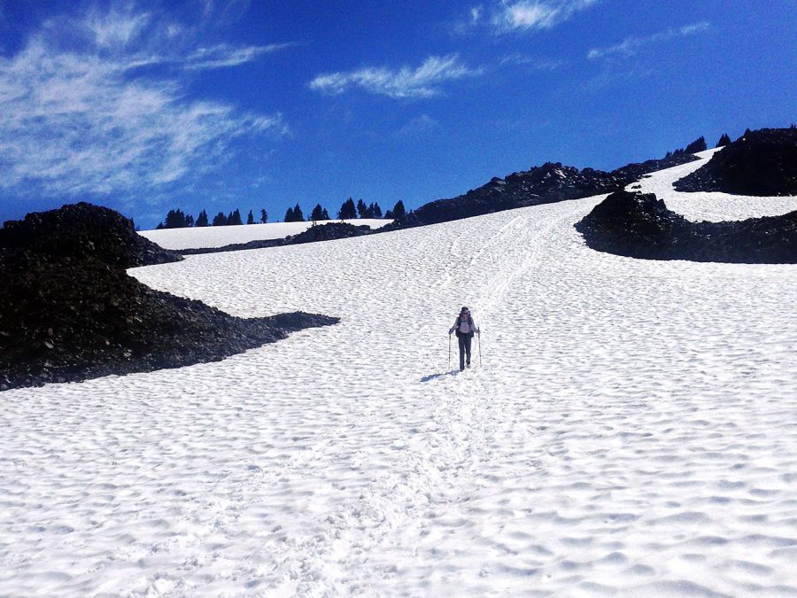
Additionally, navigation apps may make some hikers feel overly-confident in their backcountry skills, willing to take risks that they otherwise may not take if they only had a map and compass. For example, thru-hikers may venture into snowy terrain in the Sierra because the app will show your exact location on a map. But an app cannot help with skills required to self-arrest or traverse icy slopes. However, that problem is at least partially related to another innovation of technology that has changed the way current hikers experience long trails.
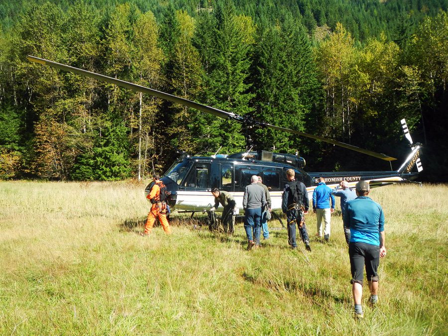
Rescue technology gives an inflated sense of confidence
When SPOT came out with technology that allows hikers to alert authorities that they need a rescue, Search & Rescue teams saw an uptick in calls for help. Sometimes, people would use emergency devices to call for help even when a rescue wasn’t warranted or the person could have self-rescued. Some arguments suggest that having an Emergency Beacon makes people more willing to take risks or enter situations with a thinner margin of error.
However, emergency messengers can also provide comfort to hikers and their families. When I thru-hiked the PCT in 2009, several hikers used their devices to call for helicopter rescues when they became dehydrated in the desert. If a hiker were to fall, get trapped, or break a leg, a Search & Rescue device could mean the difference between life and death. In the past three years, emergency satellite devices have allowed users to communicate via text with Search & Rescue so they can state why they need help so that the right team can be sent it with the correct skillset and equipment.
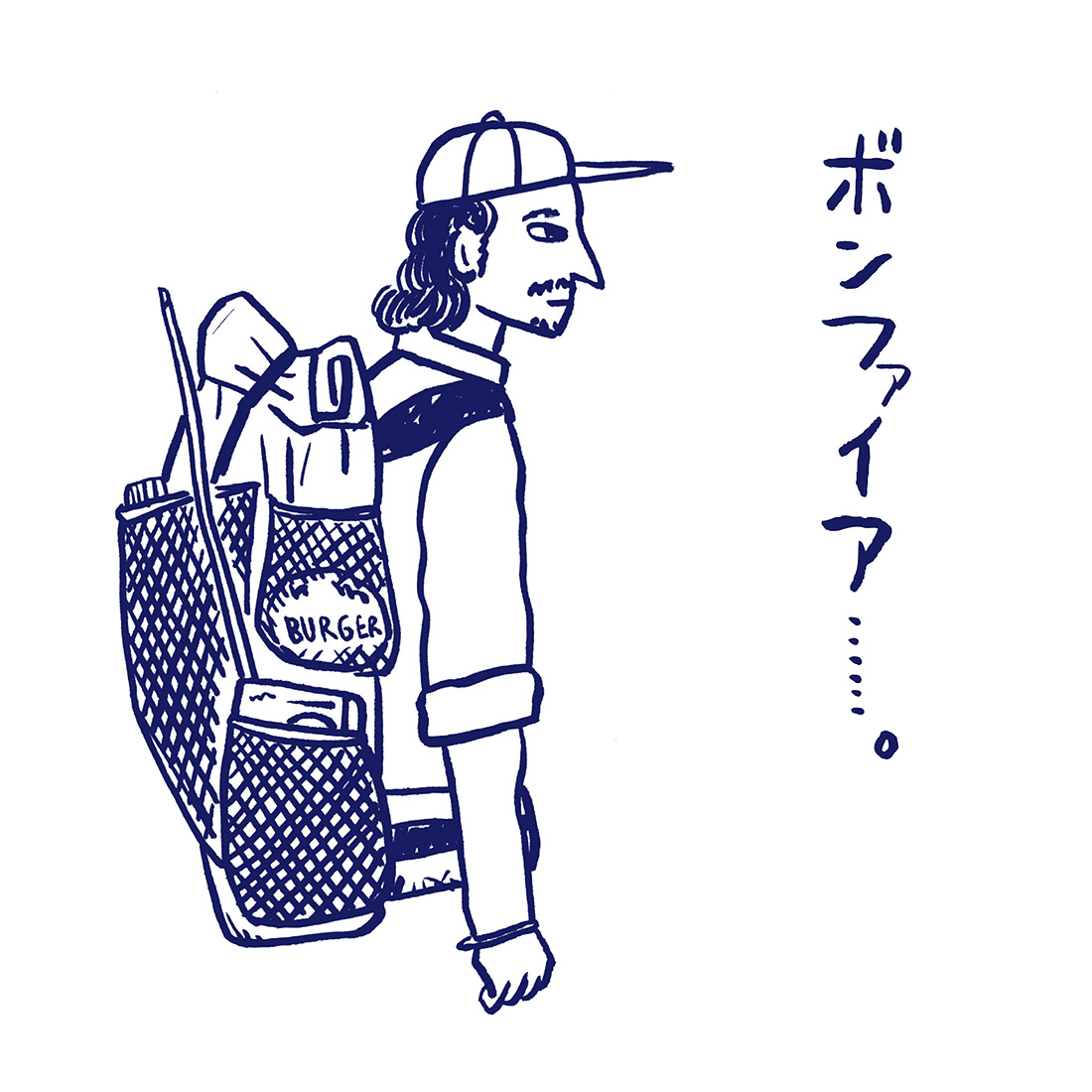
Two-way text capable satellite messengers have proved to not just be a great emergency device, but also a more affordable way to stay in touch with family and friends while on a thru-hike. When I thru-hiked the Sierra High Route, I had a hiking partner who made business deals via text. We also used that same friend’s two-way texting device to order burgers from a restaurant so they’d be ready for us when we arrived in town. When I thru-hiked the PNT, my hiking partner stayed in touch with her husband via two-way satellite messenger.
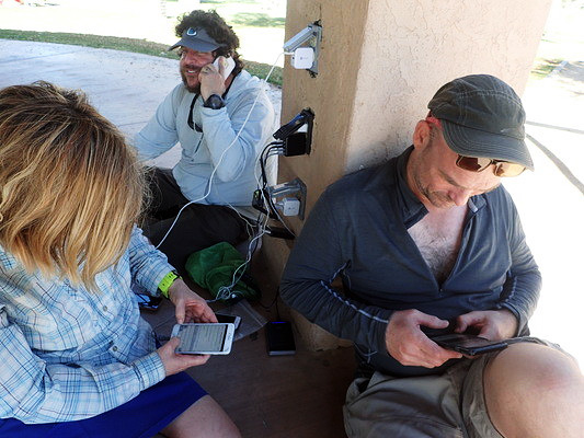
Two-way texting devices increases the number of people who can take the time to hike (instead of staying in the office taking business calls). Two-way texting also reduces the loneliness and feeling of missing family that can keep some thru-hikers from finishing their trail. But most importantly, these devices increase the number of people who feel safe hiking (or whose families feel safe letting them hike). For all of these reason, two-way satellite messengers may also be a reason the number of people on trails has increased.
Beyond the PCT: Other Trails become more Popular
As the PCT became more popular, a fraction of those hikers enjoyed the journey so much that they wanted to hike another long trail. For PCT lovers, the CDT is a natural next journey. Both the PCT and CDT have big vistas, a western climate, and travel through a diversity of ecosystems. PCTers often joke that the AT has no views, so it’s relatively rare to hear of a PCT thru-hiker deciding to hike the AT next.
Additionally, in 2016, the PCTA implemented a permitting system to limit the number of people starting at the Mexican border each day. Some hikers took this as a sign to hike the Continental Divide Trail instead—a trail that didn’t have a permit system or quota of how many hikers could start the trail each day.
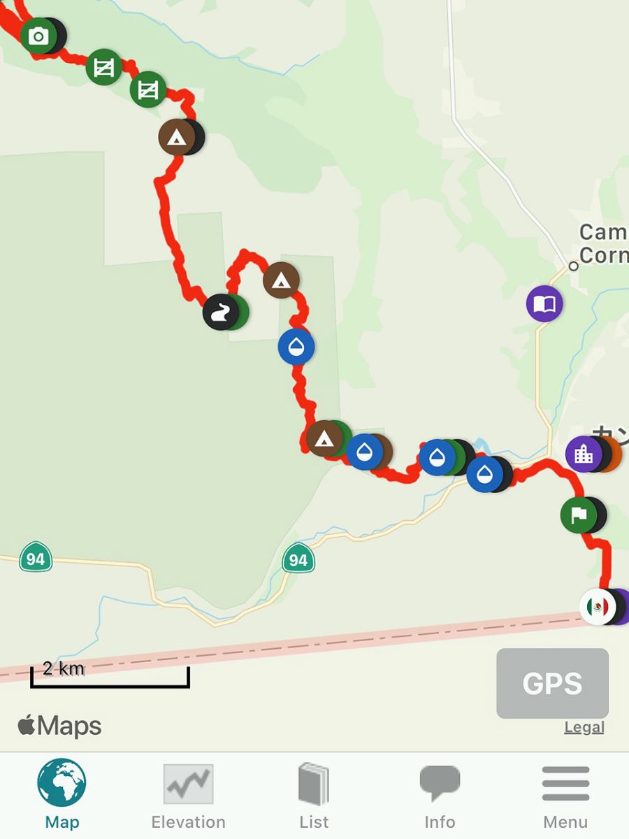
While navigation had always been a barrier of entry to the CDT, the CDT Guthook App helped hikers find their way across a trail that had yet to be completed or signed and still had a confusing array of alternates.
In 2019, the CDT became more of a possibility for hikers as the trail underwent a huge effort in 2018 to sign and blaze its entire length. Now, a trail that went by the unofficial tagline “Embrace the Brutality” became a little easier to follow.
Beyond other trails: Routes take on new popularity
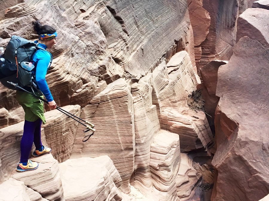
For hikers who have walked the CDT and want something wilder, it’s easier than ever to create and walk your own route. Off country journeys attract an advanced and skilled hiker—so the number of people willing to journey on experimental routes will always be limited. But one thing that has made routes easier is mapping and navigating technology. Now, you don’t need to find a paper map with the right topographic detail to design a route: all of that information is available via the internet.
Google Earth and satellite technology allows mappers to zoom in on details that may not show on a topographic map like small cliffs or waterfalls that would be difficult to navigate around, but still pose an obstacle for hikers. The internet makes it easy to share GPX files of routes that others have created. Hikers can create and sell their own mapsets to new routes, skipping the guidebook publishers that previously were the gatekeepers to getting the word out about new routes.
Lastly, two-way satellite technology with an SOS emergency button takes some (but not all) of the risk out of adventuring on new routes (at least in the U.S). In the Lower 48, there is no wilderness that is more than 37 miles from a road. While rescues are always complicated, expensive, and require a large team—alerting those rescue teams that you need help can be instantaneous.
COVID-19, a Global Recession, and Thru-hiking
In March 2020, many trail organizations requested all thru-hikers to leave the trail to avoid spreading COVID-19 to rural towns along the trail. The world may be seeing a global recession. The pandemic has put an instant stop to number of thru-hikers. It is unclear when it will be safe for people to travel to the trail again. The expected following global recession may further reduce the number of hikers as it will become more difficult to save up funds to thru-hike.
There are many unknowns when it comes to the future of thru-hiking. Will numbers of hikers continue to increase? Still, one thing remains certain: thru-hiking, the mountains, and long trails will be there for us when we are free to roam again.
Related Articles

リズ・トーマスのハイキング・アズ・ア・ウーマン#26 / How Thru-hiking has changed <前編> スマホ時代のスルーハイカー
リズ・トーマスのハイキング・アズ・ア・ウーマン#24 / スルーハイカーは冬に何をしているの?(前編)ハイカーの冬の仕事
- « 前へ
- 2 / 2
- 次へ »
TAGS:


 ULギアを自作するための生地、プラパーツ、ジッパー…
  Tenkara USA | RHODO (ロード)
  Tenkara USA | YAMA (ヤマ)
  Tenkara USA | Rod Cases (…
  Tenkara USA | tenkara kit…
  Tenkara USA | Forceps & …
  Tenkara USA | The Keeper …
  Tenkara USA | 12 Tenkara …
  Tenkara USA | Tenkara Lev…