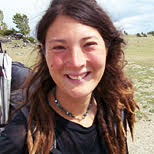
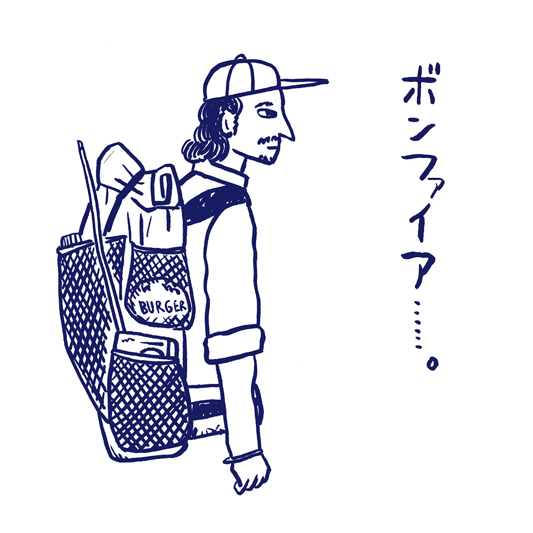
リズ・トーマスのハイキング・アズ・ア・ウーマン#28 / 北米ハイキング・カルチャーの最前線のハイカーたちは、どこへ向かっている? (後編)

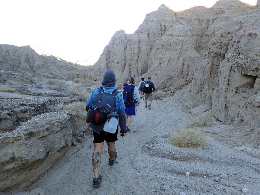
What do edgy hikers hike?
Liz:Could you tell me a little bit about goals you have in putting together a route?
Melissa:Sure, but an interview on just that one question would take up a whole day!
Our first goal is to create a long distance route.
[Another goal] is to make it repeatable, which means we have to really scrutinize things. Brett, especially, spends probably thousands of hours from beginning [to end]. It takes months.
[Our goal is to create a] repeatable product. We want to provide everything that we feel [an experienced hiker would need to feel] comfortable before they go out there [and do it on their own].
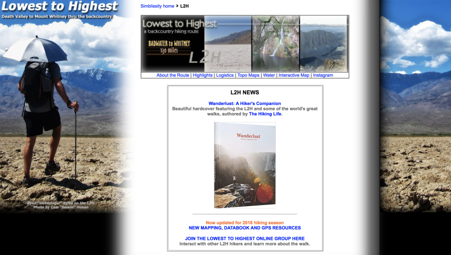
[For any given hike], we come up with our theme. A couple of examples of our themes are the Lowest to Highest route, which has the theme of going from the lowest point in the Continental US to the highest point.
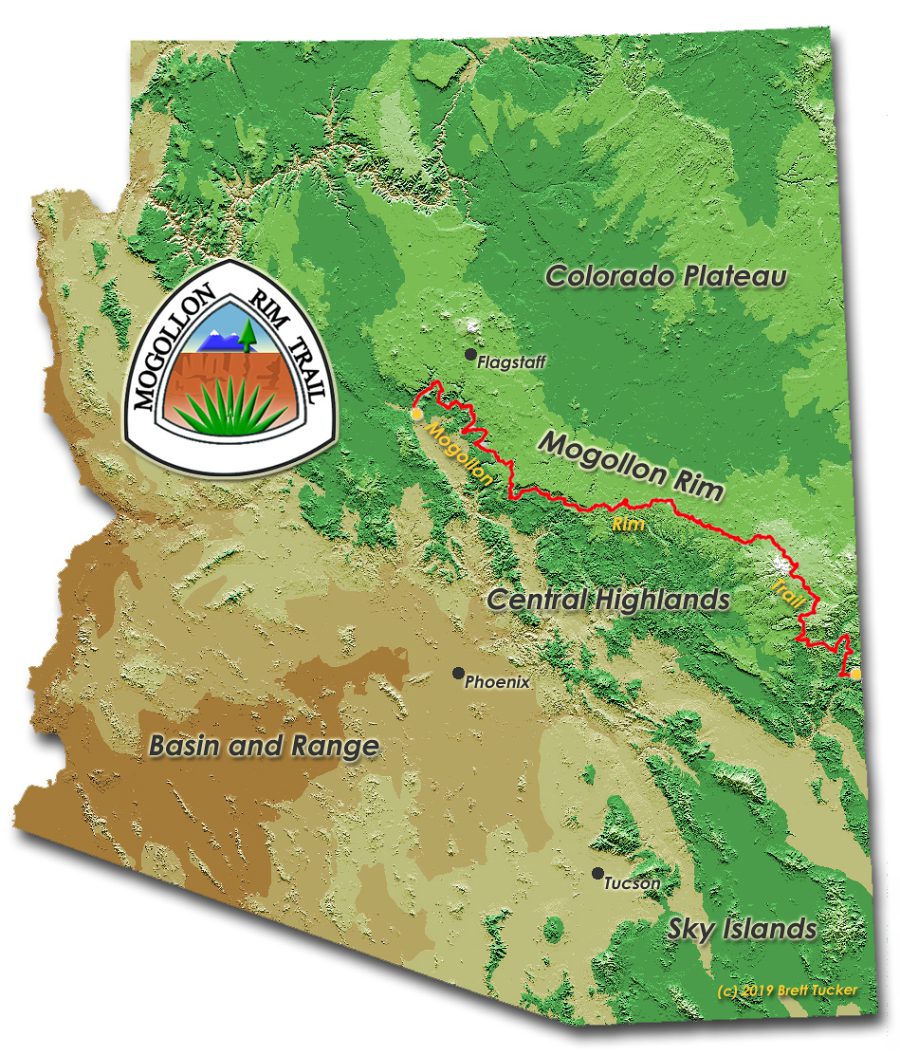
Sometimes we’ll pick a land-based theme like the Mogollon Rim Trail, [which] does a tour of the hundreds of miles long escarpment that makes up the edge of the Colorado Plateau.
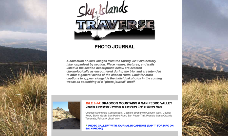
The Skyline Traverse hits all the sky islands in Arizona, which are also a land feature.
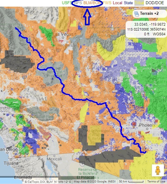
Because we design long distance [routes], we try to make it easy to access decent resupply towns at reasonable intervals. We try to minimize the amount of time that you’re away from public land. Towns that have public land that go right up to the [town’s] edge are ideal if we want to try to minimize the amount of hitchhiking [required to get to a trail town].
We also want to keep [where our routes go] legal. We don’t want anyone to have to trespass. Sometimes that’s really hard. Sometimes, that’s what pushes us to put [our route] on roads versus up over the prettiest things.
Liz:What would you say is the most important part of your mapping process?
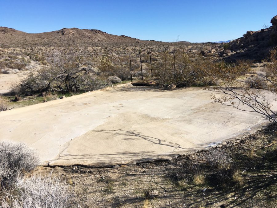
Melissa:Since our routes are in the desert and Southwest, the most important thing that we try to do is make it so there’s water at intervals that are reasonable. That’s probably one of our hardest and most time-consuming things. If we’re going to go out there [to test-run the new route], we don’t want to get ourselves killed [from dehydration].
Brett spends so much time looking for water on maps and satellite view.
Liz:What does the process of putting a route look like?
Melissa:First, we look at the big picture on an atlas and look at our theme.
Then, we get a more detailed map. We look if there are already trails. We find the public land and private land issues. Then we look for even more detail. Brett spends a huge amount of time–probably the majority of the time–looking at satellite data.
He also looks at various different apps to find out water sources. He’ll look at hunting apps. Or he matches satellite pictures with natural stream studies or natural springs studies from the Forest Service or BLM [Bureau of Land Management]. He looks for places where a spring or ranchers’ infrastructure like a windmill [show up in satellite data]. He also looks for animal tracks leading to water, which would indicate that there’s enough [water] for the animals to create trails to get there.
[We need a high] level of confidence to send ourselves out in the middle of nowhere dependent on that water. He’ll spend hours looking for potential water sites for a backup plan in case the first one doesn’t have water.
Then he tries to read different hiking websites to see when people went to a water source and what they might have said about the water source. What time of year was water available? What was the water like? [A lot of the challenge with mapping routes], especially in the Southwest, is trying to figure out how to not die out there.
Liz:To what extent are you relying on historic old guidebooks from the 50s or 70s that describe trails that don’t exist anymore? I know there’s a classic Death Valley off-trail route book that has some parts of the Low to High Route in it.
Melissa:Almost nothing I do is based on paper. As far as water sources, especially with climate change, we don’t count on anything that was published, even digitally, a few years ago ago.
But sometimes we have information from [old published material that we can use as a basis for parts of our routes]. For example, the Desert Trail was created years ago. We know that an old route may not have much recent published information. [So, for more accurate information], we reach out to the Buck 30s and Dirtmongers of the world [two famous hikers who have hiked the Desert Route recently]. We’ll see if the historic [published route] lines up [with what is on the ground] and if the hikers have taken notes.
Liz:What does your mapping process look like after you’ve identified your key elements: landmarks you want the trail to visit, water sources, and the trail towns? How do you connect it within the theme of your route?
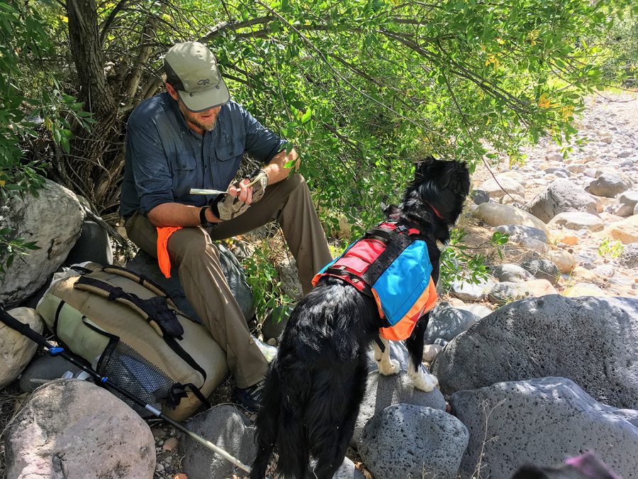
Melissa:After all that, we put down a track on mapping software. Then we actually go out and hike the route or we have other people go out and hike it. This is important because it’s always different when you get out there [than it looks on the map]. When we’re hiking, Brett literally stops at any waypoint that could be construed as a junction or anything interesting and makes notes.
Liz:How do you identify the town resources that thru-hikers will need to resupply?
Melissa:One thing that I’m responsible for is to visit the actual towns that the trail will be going through. I’ll go out and inventory all the resupplies and the hotels and laundromats and talk to the people.
I’ll also get a vibe of the town. For example, we’re putting together a route in northern New Mexico. It has a town that on paper [would be great for resupply for hikers]. It’s compact [so easy to get all hiker services without having to hitch across town]. It’s beautiful. It’s got everything a hiker would need.
But when you go there, it’s got this total tourist vibe. Razors [similar to 4×4 dune buggies] are ruining all the dirt roads and all the trails are just a big dustbowl. When you go to this town as a hiker, it’s just not welcoming.
We wouldn’t know this if I hadn’t gone there. When I look on Google and see there are lots of restaurants and great hotel prices and easy in-and-out of town with public land up to the edge of it, it looks really good. But this is not somewhere we want to send people.
Liz:Given all the thousands of hours of work you put into a route, the price of your maps is very reasonable. I think you should charge more! What is your philosophy behind this?
Melissa:Brett’s argument is that if he prices too high for the mapsets and information, hikers just end up stealing it. Someone put the Northern New Mexico route on CalTopo [a free mapping app] and now people are hiking it without any of the updates that we’ve done. They don’t have any of the water charts that we’ve made or the town guides. Yes, I think we could charge more. But with the digital world, it’s a fine balance.
Liz:It seems like these days, the way to make money or make a living off making routes is to create an app. What are your thoughts on that?
Melissa:We’ve been playing around with using an app company that has geo reference mapping capability. This one in particular works really well for us because people don’t have access to the actual track GPS, so they can’t steal it. I’m also considering putting my town guides online.
Liz:I wonder what you and Brett think about what a good mapset or data book has that a mediocre one lacks. There’s definitely some routes out there where the mapset or the data book leave something to be desired. Your mapsets, on the other hand, have a reputation for feeling very complete and easy to use with all the information a hiker needs. Why do you think hikers think your mapsets and routes are better made than other route-makers?
Melissa:Our process has evolved over time. Now, our system is dialed in. There’s so many tiny little things that we take into consideration.
Our maps have just the right amount of information–not too much or too little–on junctions or water sources. He makes it so that you don’t have to reference six different resources to get all the information you need.
Let’s face it. We’re in a digital world. If you just have your cell phone you should be able to look at that and one map and not have to spend too much time at a junction or waypoint to figure out what you need to do next.
As far as the town guide, I lay it out similar to how Yogi does [her PCT town guide books] because that’s how I learned [what a town guide should look like]. I pull out all the information that I think a hiker is going to want to save them work at every chance.
The number one thing that we do that not everyone does [is accuracy]. There’s a difference between the track you trace on the computer and the track that you actually create on the ground. Any [mapping] process [that only is] digital is going to have mileage that is vastly off.
[On a computer], you [measure distance] by tracing a route and contouring with a trail or road or [drawing a line] cross country. But when you’re really out there, you’ll be doing micro-turning and navigating around bushes or downed trees. Even when you’re choosing your best line, it’s 10% [longer] on the ground than whatever you trace at home, which can be a big difference over 20 miles of hiking in a day, or a 500- or 1000-mile route.
Liz:My last question. Do you see yourself ever hiking an established trail again?
Melissa:Some of our routes touch on established trails. For example, the Northern New Mexico Loop touches on the CDT. The Grand Enchantment Trail goes on the Arizona Trail for a little bit. But honestly when I’m on those segments of those trails, I can’t wait to get back off.
That being said, I like to hike with other people. Usually [my friends], for whatever reason, want to hike established trails. I don’t know if it’s going to happen this year because of everything, but I might hike the Arizona Trail.
Liz:Any last things you’d like to add?
Melissa:It’s very rewarding to have people hike our routes and give feedback. [It’s rewarding] when they realize all the work that went into it and how hard we tried to put together a good route.
Liz:Thank you so much for letting me interview you. I’m so impressed by what both you and Brett Tucker put into it. It’s incredible to think that just two people are behind all of these famous hiking routes.
Melissa:It really is a lot of work. But it’s fun. When it is enough in itself to make a career, then I will be pretty darn happy.
Related Articles
リズ・トーマスのハイキング・アズ・ア・ウーマン#28 / 北米ハイキング・カルチャーの最前線のハイカーたちは、どこへ向かっている? (前編)
リズ・トーマスのハイキング・アズ・ア・ウーマン#27 / 海外ロングトレイルの定番アプリ「Guthook」開発者インタビュー (前編)
- « 前へ
- 2 / 2
- 次へ »
TAGS:


 ULギアを自作するための生地、プラパーツ、ジッパー…
  Tenkara USA | RHODO (ロード)
  Tenkara USA | YAMA (ヤマ)
  Tenkara USA | Rod Cases (…
  Tenkara USA | tenkara kit…
  Tenkara USA | Forceps & …
  Tenkara USA | The Keeper …
  Tenkara USA | 12 Tenkara …
  Tenkara USA | Tenkara Lev…