ジェフ・キッシュのHIKER LIFE with PNT | #09 パシフィック・ノースウエスト・トレイルのスルーハイキング (その5)

Thru-Hiking the Pacific Northwest Trail (part5)
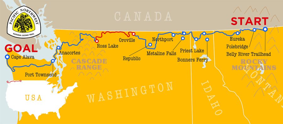
Before Oroville, my PNT thru-hike had been a very solitary experience. I had yet to meet another PNT thru-hiker, and in many stretches I went days at a time without encountering another human at all. That all changed when my girlfriend Hannah met me in Oroville to hike the longest and most remote stretch of the PNT across three connected wilderness areas in Washington state.
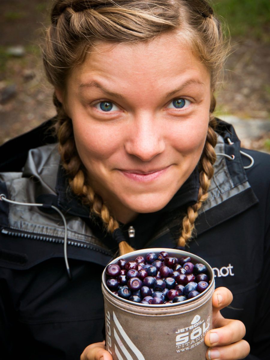
Delicious huckleberries are plentiful in the western Pasayten. I picked these for Hannah.
The hike out of Oroville follows the Similkameen River to the west of town. Here, in the Okanogan Highlands, the climate is as hot and dry as it gets along the PNT, with temperatures frequently reaching 40° celsius in August when most long distance hikers pass through.
In 1860, prospectors found gold in the Similkameen. Nearby Oroville was named “Oro” after the spanish word for the metal. During a hike along the Similkameen, small mining operations can still be observed in the river to this day. Hikers are more likely to encounter rattlesnakes than riches on this section of trail though!
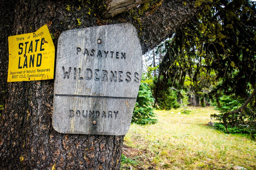
In the United States, designated wilderness areas are protected lands defined as “an area where the earth and community of life are untrammeled by man, where man himself is a visitor who does not remain.” Within designated wildernesses, there are no roads or motorized transportation and equipment, and even bicycles are prohibited.
After a long bend in the river, the PNT begins to climb away from the Similkameen River toward the Pasayten Wilderness. The environment changes quickly with the increasing elevation, and hikers may encounter coyotes in lowland sagebrush and moose in subalpine forests in the same day’s hike.
Once in the Pasayten Wilderness, the trail stays between 2,000 and 2,400 meters for many days at a time. At this northern latitude, the elevation means that the trail breaks above treeline much of the way, climbing rocky high mountain passes and traversing a patchwork of alpine meadows and glistening tarns in the basins.
Hikers should be prepared for any type of weather during summer in the Pasayten. Despite the persistent heat of the Similkameen River Valley below, Hannah and I learned that freezing temperatures can occur here at any time of the year, even in early August when we passed through.
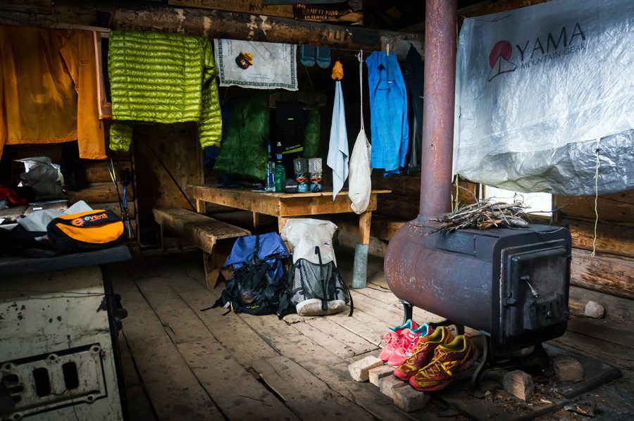
Inside a 100 year old cabin in the Eastern Pasayten Wilderness. The cabin was built before the area was designated as wilderness, but even so, no permanent road was ever built to construct the cabin or adjacent mine. Instead, materials were pulled by horses over winter snow in the early 1900’s.
Fortunately for us, in the eastern portion of the wilderness there are the remnants of an old mining camp that had been established in the very early 1900’s, including a couple of cabins that continue to provide shelter to those passing through. Once inside, we were able to get a fire going in the woodstove, and spent the night with all of our gear hung from the rafters to dry.
The following day, the storm passed and temperatures climbed. We packed up our things and left the cabin behind as we continued westward.
In the heart of the Pasayten Wilderness lies Cathedral Pass, the gateway to the Cathedral Lakes Basin for those heading west. Cathedral Pass marks the highest point on the PNT, and offers stunning views of the alpine basin below. To the south of the pass, impressive Amphitheater Mountain stands tall over the basin. To the north is Cathedral Peak. Though the PNT continues west into the basin from here, Hannah and I decided to take a side trip to the summit Cathedral Peak.
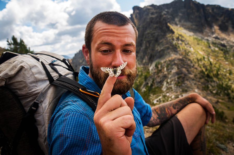
Sitting above Cathedral Pass with Amphitheater Mountain in the background.
The views were outstanding: some of the best I’ve ever witnessed on any hike, anywhere in the world. Future hikers should be warned however, there is no trail to the top of Cathedral Peak, and the higher one goes, the more difficult and exposed the scrambling becomes!
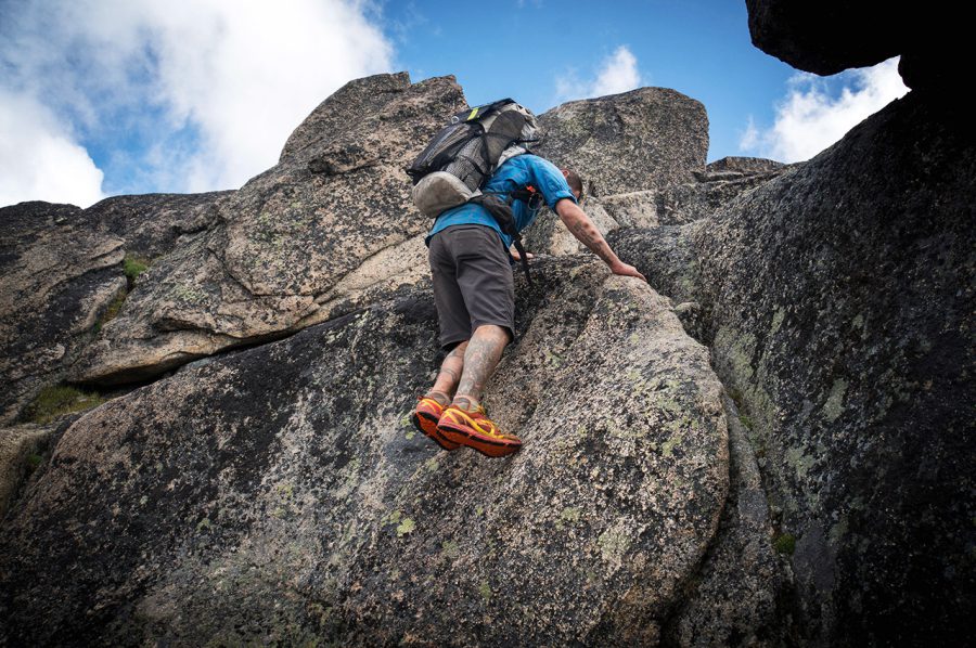
Here I am scrambling to the top of Cathedral Peak.
The next couple of days provided simply outstanding hiking. As with the view from Cathedral Peak, the scenery rivaled anything I’d ever seen before.
Hiking this portion of the Pacific Northwest Trail feels much like hiking the John Muir Trail (JMT) portion of the Pacific Crest Trail: it’s an extended scenic highlight of the thru-hike, and at 260 km of designated wilderness where hikers will never encounter a road, the experience is as immersive as it gets. Unlike the JMT however, you may feel like you have the whole wilderness to yourself. Some remote stretches are rarely explored by anyone other than those on the PNT.
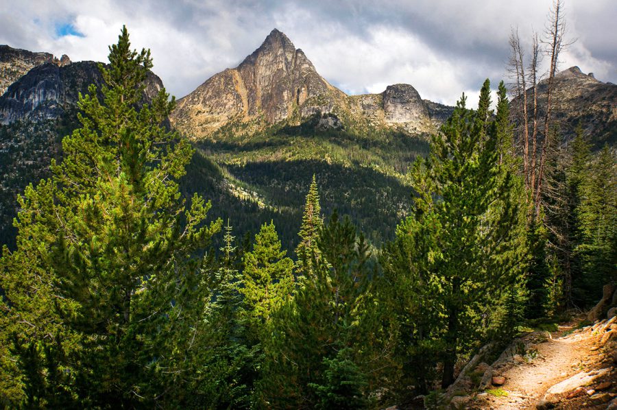
Cathedral Peak stands prominently on the eastern edge of the Cathedral Lakes Basin.
One section of the PNT that is a little busier is where the trail overlaps with the PCT. For those heading west on the PNT, a visit to the PCT northern terminus monument is only a 5 km side trip from Castle Pass, where the two trails first meet. The PNT continues south from here however, and shares approximately 20 km of tread with PCT before it splits to head west again at Holman Pass.
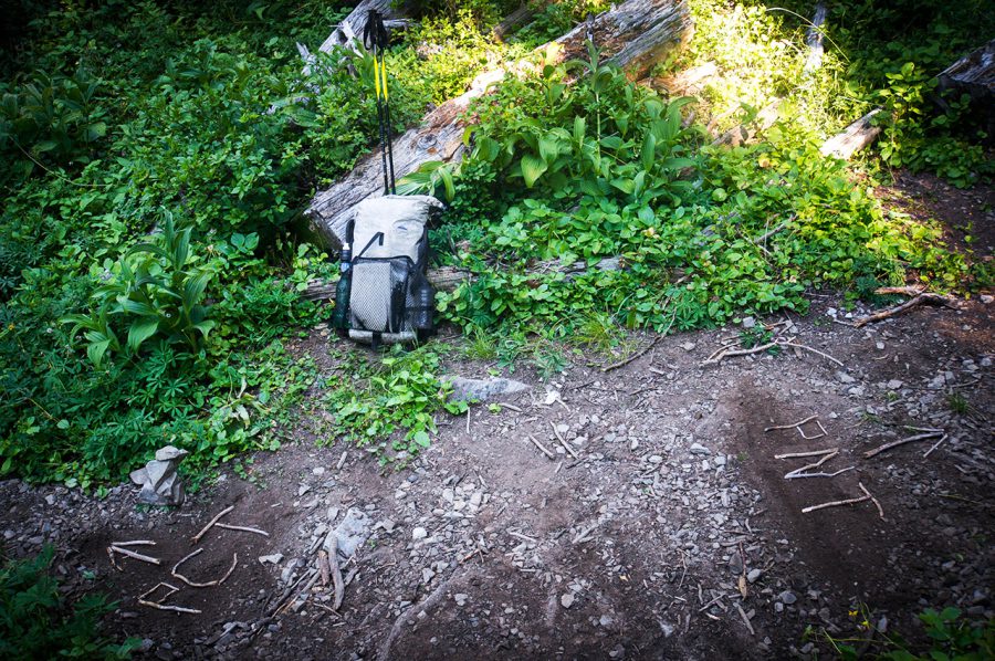
The junction of the PNT and PCT at Castle Pass. Left goes to the Canadian border, right goes to Montana.
Hannah and I spent the night at a campsite at Castle Pass. We were low on food after the weather slowed us down earlier in this stretch, but the PCT hikers who were approaching the ends of their hikes were eager to lighten their loads and give us theirs as they crossed into Canada, which was a big help.
All along the PNT/PCT shared section, we encountered other thru-hikers heading north. Most weren’t aware of the PNT. After experiencing what having something like the Pasayten Wilderness to yourself is like, we felt pretty good about that.

my girlfriend Hannah
At Holman Pass, we continued west again toward Ross Lake. As the trail descended west of the Cascade Crest, we entered old growth forests and thought that the high-alpine hiking that we experienced in the Eastern Pasayten might be behind us, but this proved to be a temporary and before too long we found ourselves thinking once again: it doesn’t get any better than this!
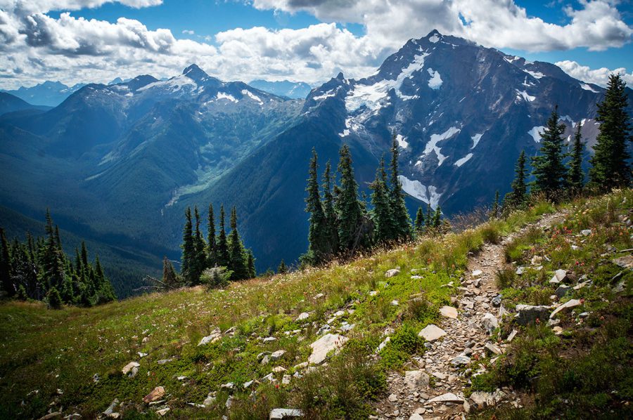
Jack Mountain from the PNT, near Devil’s Dome.
My favorite section of the trail between PCT and Ross Lake is centered around a peak known as Devil’s Dome. The PNT travels across the top of Devil’s Dome, but what makes this stretch so spectacular are the views of Jack Mountain to the south. For those who have timed their hikes appropriately, this is a wonderful area to set up camp and spend some time.
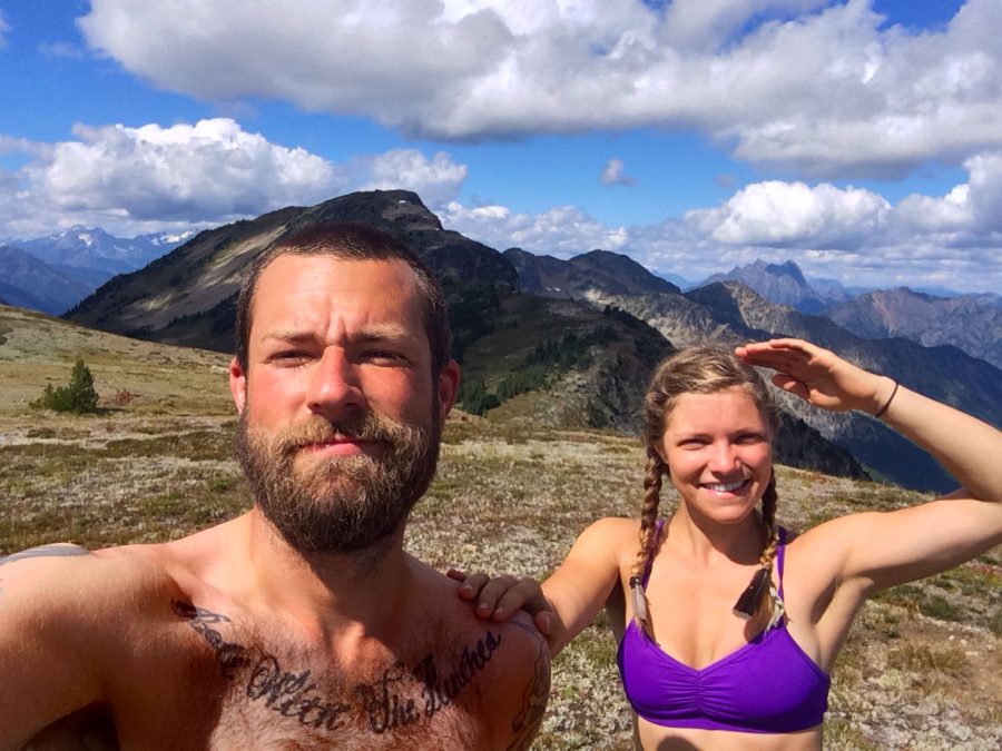
Hannah and I on the summit of Devil’s Dome.
It took us 11 days to hike between Oroville and Ross Lake however, which was longer than we had planned for, so we continued on to Ross Lake before too long, where resupply packages were waiting for us.
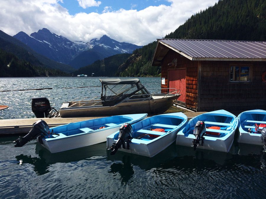
The docks at Ross Lake Resort. There are no roads into the resort, and all supplies are brought in by boat. Hikers can mail themselves resupply packages here for a $20 holding fee. The resort has no restaurant, and floating cottages must be rented well in advance.
- « 前へ
- 2 / 2
- 次へ »
TAGS:







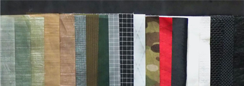
 ULギアを自作するための生地、プラパーツ、ジッパー…
 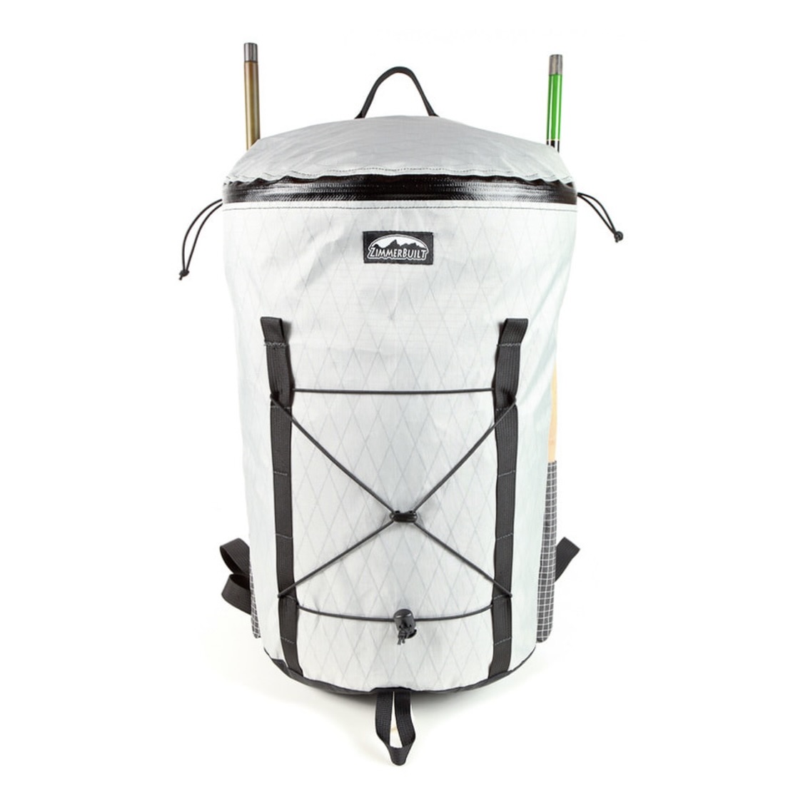 ZimmerBuilt | TailWater P…
  ZimmerBuilt | PocketWater…
 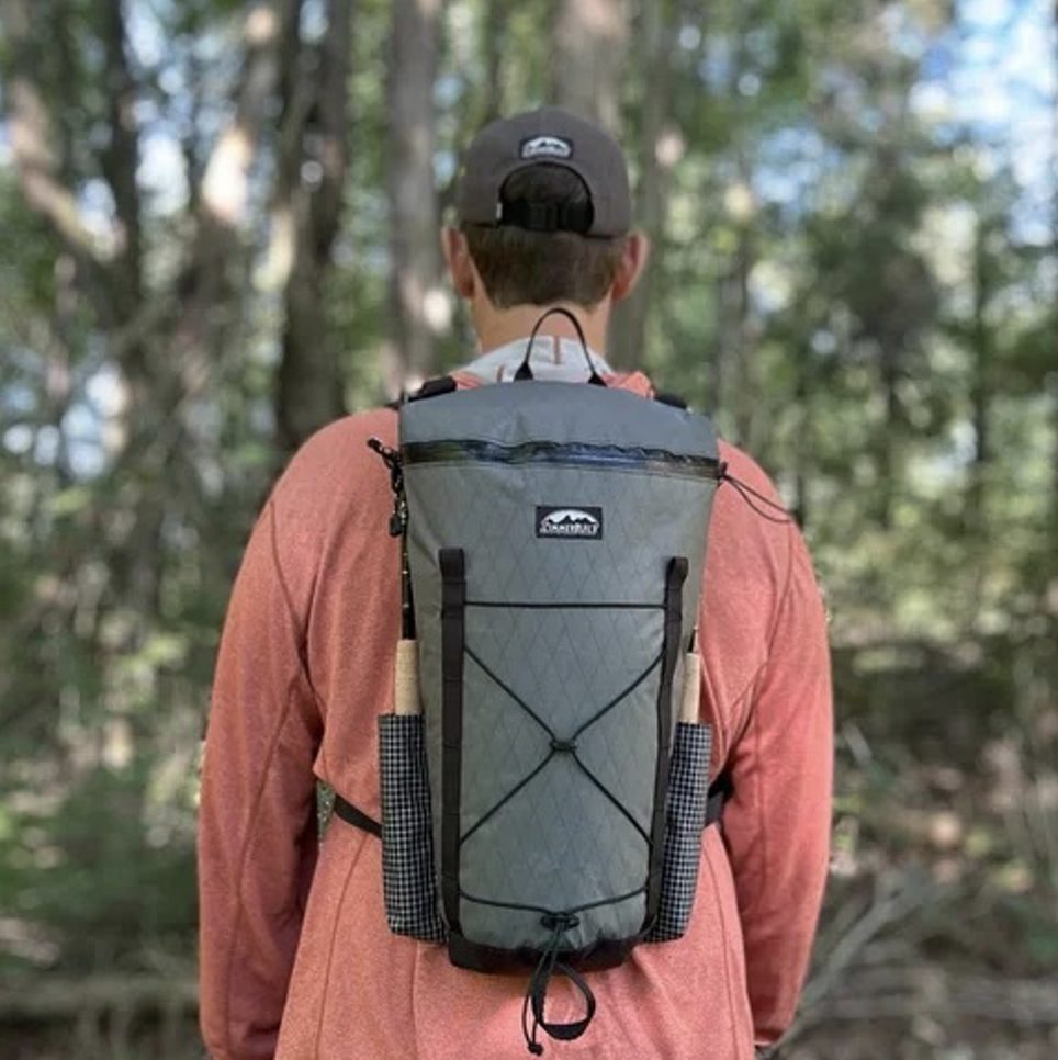 ZimmerBuilt | DeadDrift P…
  ZimmerBuilt | Arrowood Ch…
  ZimmerBuilt | SplitShot C…
  ZimmerBuilt | Darter Pack…
  ZimmerBuilt | QuickDraw (…
  ZimmerBuilt | Strap Pack …


