ジェフ・キッシュのHIKER LIFE with PNT | #10 パシフィック・ノースウエスト・トレイルのスルーハイキング (その6)

Thru-Hiking the Pacific Northwest Trail (part6)
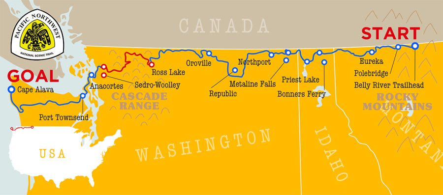
Leaving the Pasayten Wilderness behind, the Pacific Northwest Trail descends to the eastern shore of Ross Lake. Ross Lake is a manmade reservoir that was raised in three stages between 1937 and 1949 to generate electricity to meet the growing demands of the city of Seattle. The PNT walks along the top of the dam, providing water-level views of the lake extending 23 miles to the north, where the lake crosses the international boundary into Canada.
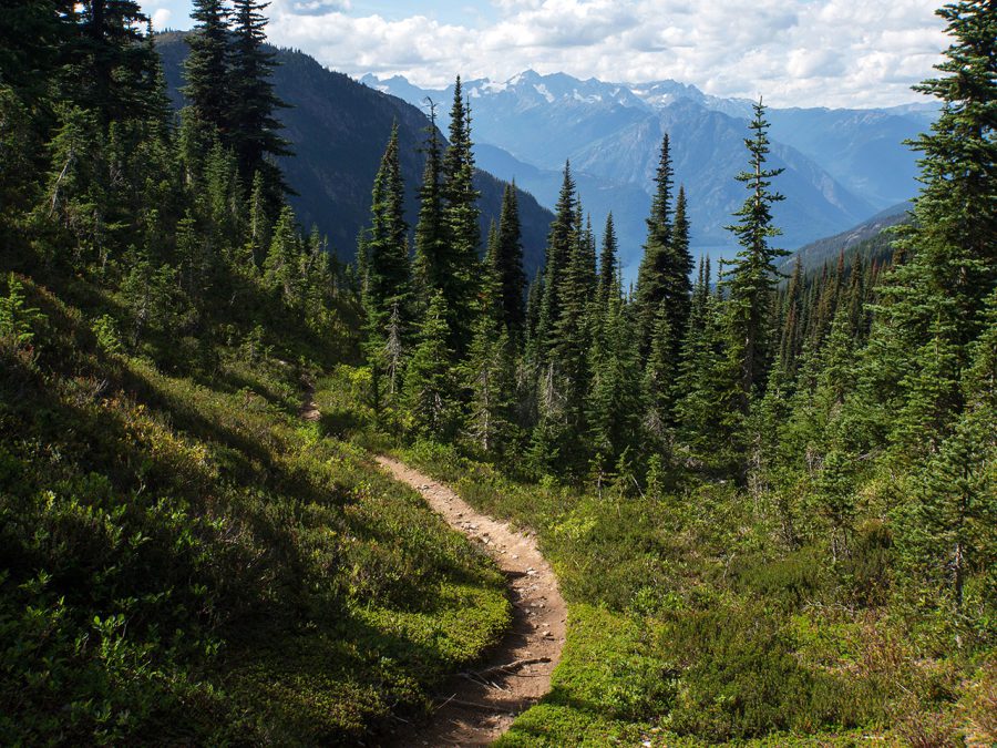
Leaving the Pasayten Wilderness behind, we hiked into the Ross Lake National Recreation Area. Ross Lake is seen in the distance.
As we hiked across the dam, Ross Lake Resort came into view. The entire resort is inaccessible by road, and all guests and supplies are brought in by boat or come in on foot. The resort consists of a series of floating cabins moored together along the lake’s southwestern shore. The center of the resort’s operations is an attached marina, where canoes can be rented and motorboat rides to distant lakeside campsites can be hired.
We mailed ourselves resupply packages to Ross Lake Resort. Because of the difficulty of getting these packages to the resort, the resort charges a $20 fee for the service. I found it well worth the cost to remain immersed in the remote backcountry, but for those wishing to get to town, a short spur trail from the lake up to the nearest highway provides opportunities to hitchhike into the nearby towns of Mazama and Winthrop.
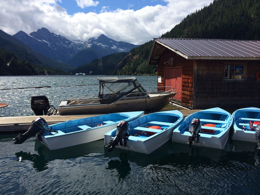
The marina at Ross Lake Resort has boats for rent that can be used to access remote campsites further up the lake.
I said goodbye to Hannah, who used the spur trail to catch a ride home from the trailhead. Then I continued west along the PNT, climbing gently away from the lake alongside Big Beaver Creek.
A fourth stage of construction on Ross Lake Dam was originally planned that would have raised the dam another 125 feet and flooded this valley, but a group of backpackers who explored the area in 1968 discovered an ancient grove of massive western red cedars here and successfully led a movement to keep the dam at its current height to protect them. The PNT now winds through this impressive grove, which offers views of some of the largest trees on the entire trail.
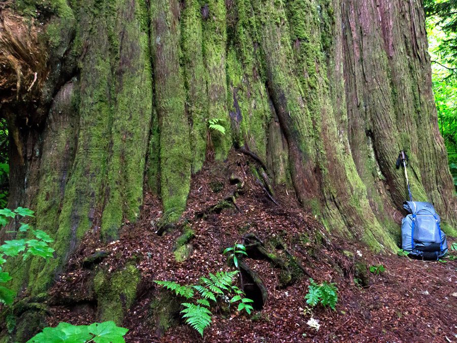
Massive ancient western red cedar trees along Big Beaver Creek.
Continuing northwest through North Cascades National Park, the PNT parallels one of the most remote and striking mountain ranges in the area, the Pickets. As the trail steadily climbs toward Whatcom Pass, the glacier-capped summit of Mount Challenger comes into view to the south. The pass itself, and the trail leading up to it, is a sight to behold as well. Tightly constructed switchbacks break through the treeline and into an idyllic alpine landscape, dotted with tarns that reflect the surrounding views.
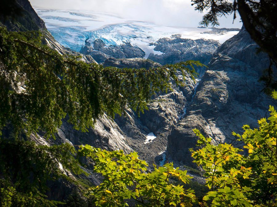
Views of Challenger Glacier from the approach to Whatcom Pass.
After Whatcom Pass, the PNT drops precipitously toward the Chilliwack River before climbing again to Hannegan Pass. The Chilliwack River crossing is a truly unique experience in the american national trails system; here hikers climb into a cable car, and pull themselves hand-over-hand across the canyon with a rope!
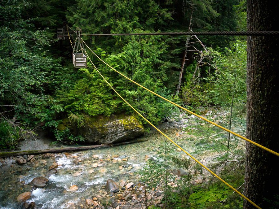
Hikers pull themselves across the Chilliwack River crossing in this unique handcar.
At Hannegan Pass, the PNT leaves North Cascades National Park behind, and enters the Mount Baker Wilderness. The trail continues to descend down the Ruth Creek drainage, until it exits the wilderness and reaches its first junction with a road in more than 160 miles.
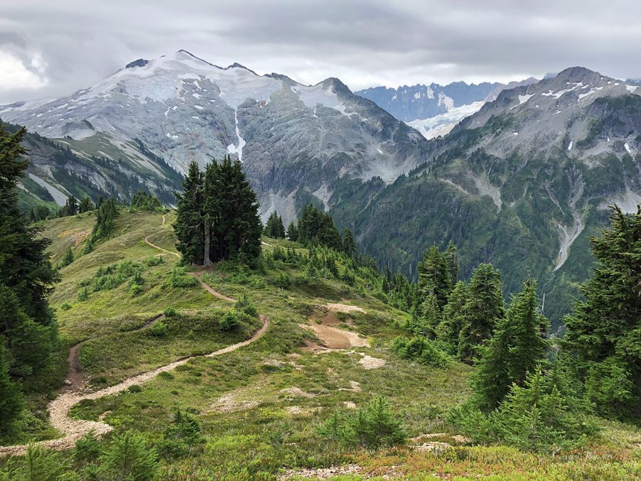
The view from the Hannegan Pass area.
The next several miles of the PNT currently follow a winding paved road used by drivers to access the Mount Baker ski area and popular trailhead areas for hiking and backpacking known as Heather Meadows and Artist Point. Here, hikers can take in outstanding views of nearby Mount Shuksan, reflected in the appropriately-named Picture Lake.
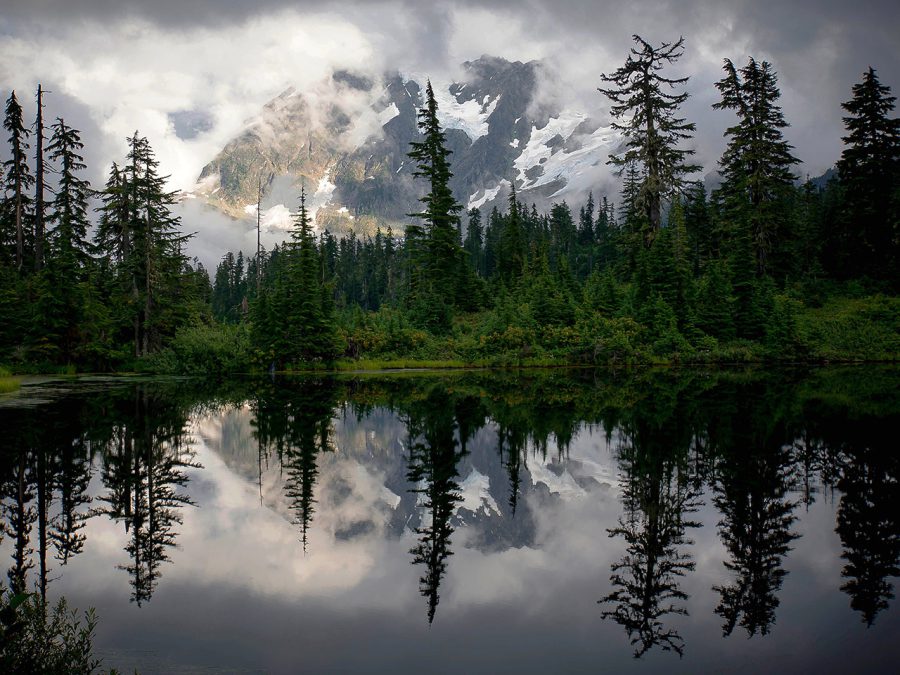
Mount Shuksan reflected in Picture Lake.
Leaving the crowds behind, the PNT now heads south on the seldom-traveled Swift Creek Trail. Early-season hikers have occasionally found the crossing at Swift Creek impassable. Acting as the lone travelable route from north to south between Mount Baker and North Cascades National Park, the only alternative to crossing Swift Creek is to backtrack 10 miles to the nearest road, and then hitchhike 100 miles around the mountain to pick up the trail on the other side. Fortunately for me, I reached Swift Creek later in the season and was able to ford across without getting much more than my knees wet.
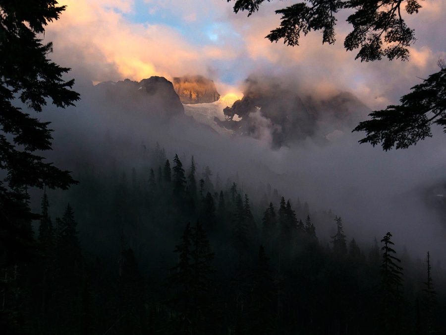
Mount Shuksan peaking through the clouds near the start of the Swift Creek Trail.
A few more miles beyond the Swift Creek crossing, some PNT hikers may choose to visit the Mount Baker hot springs. Locals have dug the springs out to create a small pool for soaking. It can be a very soothing place to relax your muscles, but hikers should be warned: it can also be crowded with local revelers!
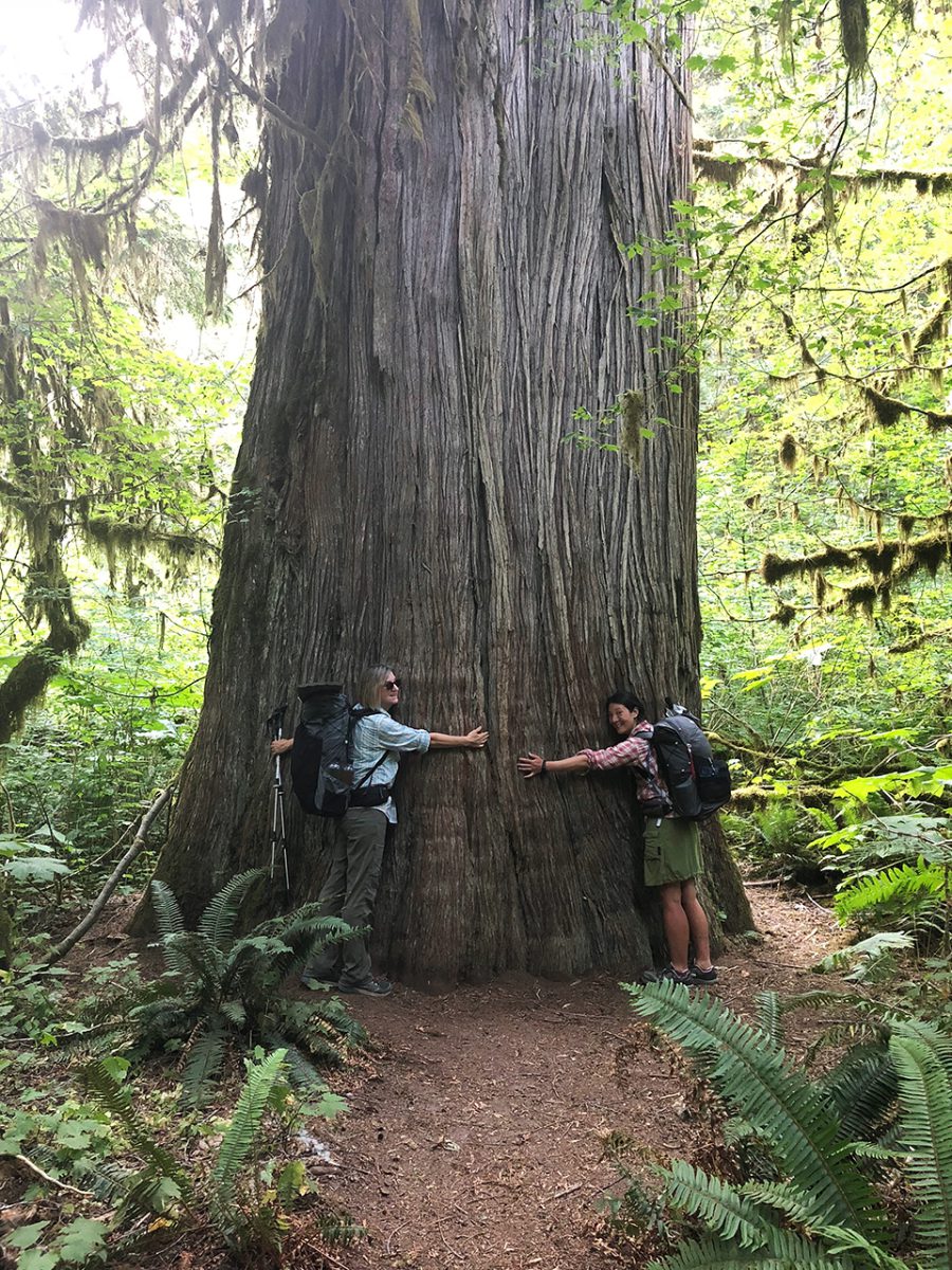
A large red cedar near Baker Lake.
From the hot springs, the PNT travels around another reservoir known as Baker Lake. This relatively flat easy hiking at lake level was a welcome reprieve from the rugged terrain of the previous section and offered me excellent views of Mount Baker to the west.
From the lake, the PNT begins to climb closer and closer to Mount Baker itself. This portion of the PNT is very popular with dayhikers, backpackers and mountaineers; who use it to access the climbing routes on the south side of the mountain. Most of the hikers climb to the Park Butte lookout, which is a short distance off the PNT and provides uninterrupted views of Mount Baker’s Glaciers to the north. Beyond this intersection, the PNT leaves the crowds behind once more.

Amanita mushrooms near Park Butte.
After descending from the Park Butte area, the PNT winds through Mazama Park, an alpine meadow with an incredible view of the Twin Sisters mountain range to the west. From here, the trail continues south through impressive old growth mountain hemlock and alaskan yellow cedar trees.
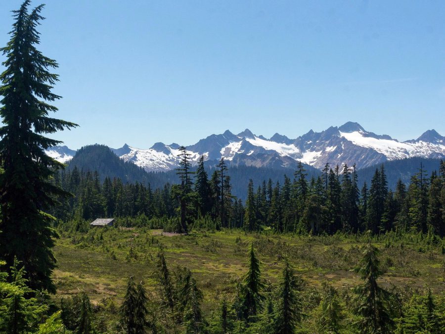
A shelter in Mazama Camp is well located to view Twin Sisters Mountain.
Emerging from Mount Baker National Forest, the PNT enters the Skagit River Valley where several communities parallel the river and offer amenities to resupplying hikers. One of these communities, called Sedro-Woolley, is also home to the Pacific Northwest Trail Association offices, where hikers are encouraged to make a visit.
I resupplied and took a couple of zeros in the Skagit Valley. In one more long push, I planned to reach salt water and cross the Olympic Peninsula to complete the trail. But we’ll talk about that next time!
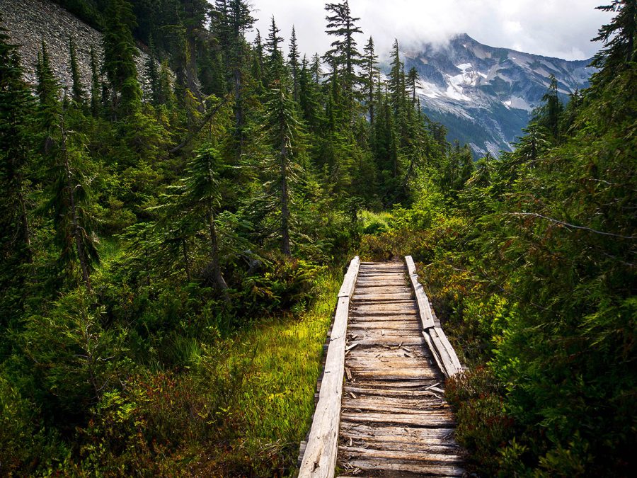
Views of the Pickets from the Pacific Northwest Trail in North Cascades National Park.
- « 前へ
- 2 / 2
- 次へ »
TAGS:












 ULギアを自作するための生地、プラパーツ、ジッパー…
 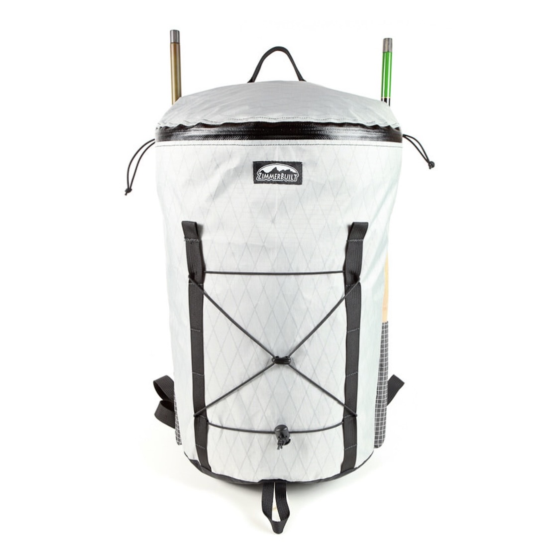 ZimmerBuilt | TailWater P…
  ZimmerBuilt | PocketWater…
 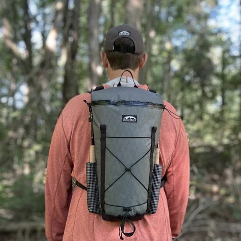 ZimmerBuilt | DeadDrift P…
  ZimmerBuilt | Arrowood Ch…
  ZimmerBuilt | SplitShot C…
  ZimmerBuilt | Darter Pack…
  ZimmerBuilt | QuickDraw (…
  ZimmerBuilt | Strap Pack …


