シエラ山脈のオフトレイルを歩くサザン・シエラ・ハイルート(後編)|by リズ・トーマスのハイキング・アズ・ア・ウーマン#36
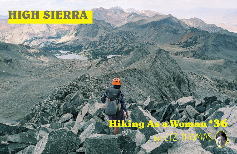
An Off Trail Route in the High Sierra
We got a break from difficult scrambling with a half day of “easy” cross-country. We descended peaceful grassy valleys and small swimmable ponds. At Wallace Basin, not far from the JMT, we continued off-trail into Wright Basin. More flower-filled meadows led us to the wide and grassy Rockwell Pass.
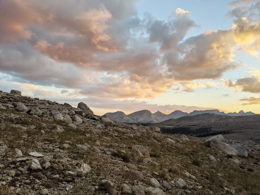
Sunset Shepherd Pass
That night, we camped in Shepherd Basin, which is visible from the JMT. In fact, Shepherd Pass and the nearby Junction Pass were the old route of the JMT before the trail over Forester Pass was built.
Shepherd Pass has big open views and a tarn near the top. But I was surprised how relatively not-scenic the narrow canyon to Junction Pass is. Even worse, the decades-old trail hasn’t seen maintenance in years. The path was mostly follow-able (though the last hour was straight up yet another sandy slope).
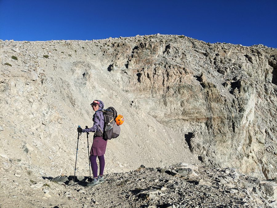
towards Junction Pass
The views from Junction Pass made it worth it! We could see the JMT across the valley as it winds its way to Forester Pass. Best yet–the trail on the other side was in great condition and covered with purple sky pilot flowers. When we reached Golden Bear Lake, we went for a swim. Then we took the JMT for the rest of the day up and over Glen Pass.
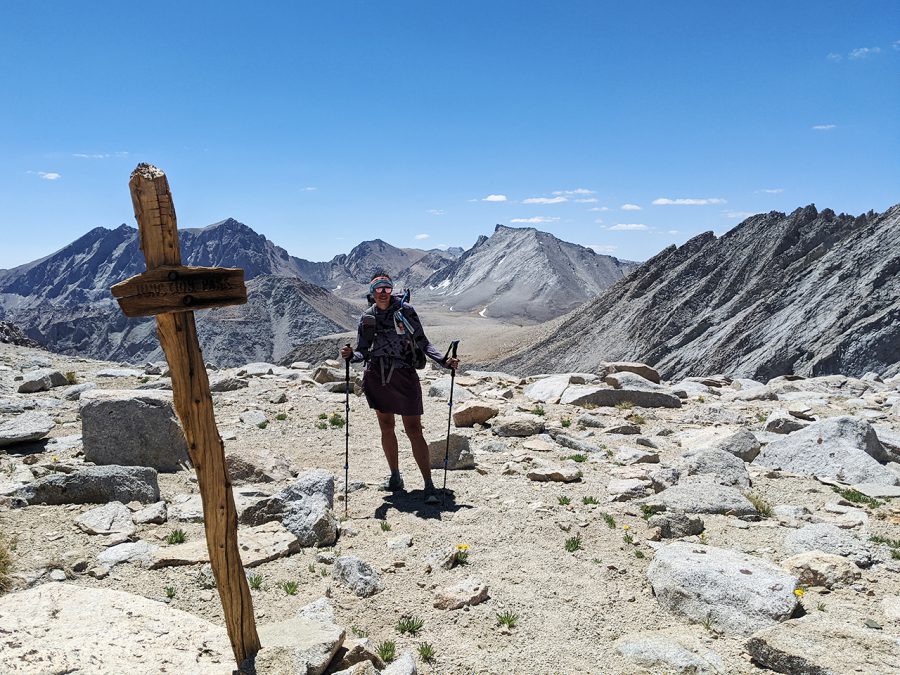
top of Junction Pass
The next day was the most difficult day I’ve had in the Sierra. We left the JMT on what was supposed to be good trail to Baxter Lake, but quickly got lost in the trees.
When we finally reached the lake, heat, altitude, and dehydration drained my energy.
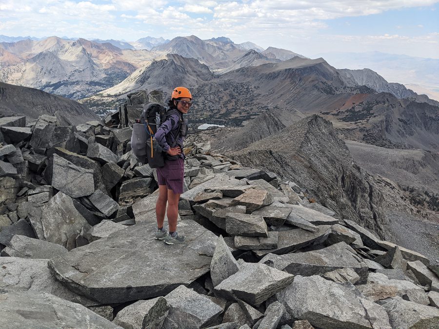
Baxter Peak
To make things worse, our map showed two ways to get to the next basin: 1) over a gentle looking pass 2) up a chute to a ridge and up and over 4,003 meter Baxter peak.
After discussion, we decided to go for the peak. Yet, to our dismay, the 500 m ascent up a “gentle” chute was full of loose tallus. Every ten steps, rock would shift beneath our feet. I knew if I pulled on the wrong rock, it could mean hundreds of kg crushing my arms or legs.
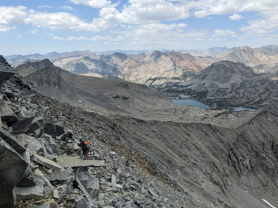
Baxter traverse
We climbed very slowly and spread out. Each of us dislodged microwave sized boulders, which tumbled down the chute. At the top, we saw we made the right decision about which route to take. There is a long, rotten ice finger on the pass we had considered.
Next, we had to traverse the peak’s loose northern ridge. This involved passing over gullies with 300 m run outs below.
We continued slowly, even as dark clouds formed above us. When we made it to the safety of more stable talus, it started raining. After 6 hours of not being able to trust the ground beneath my feet, I have never been happier to walk on stable ground.
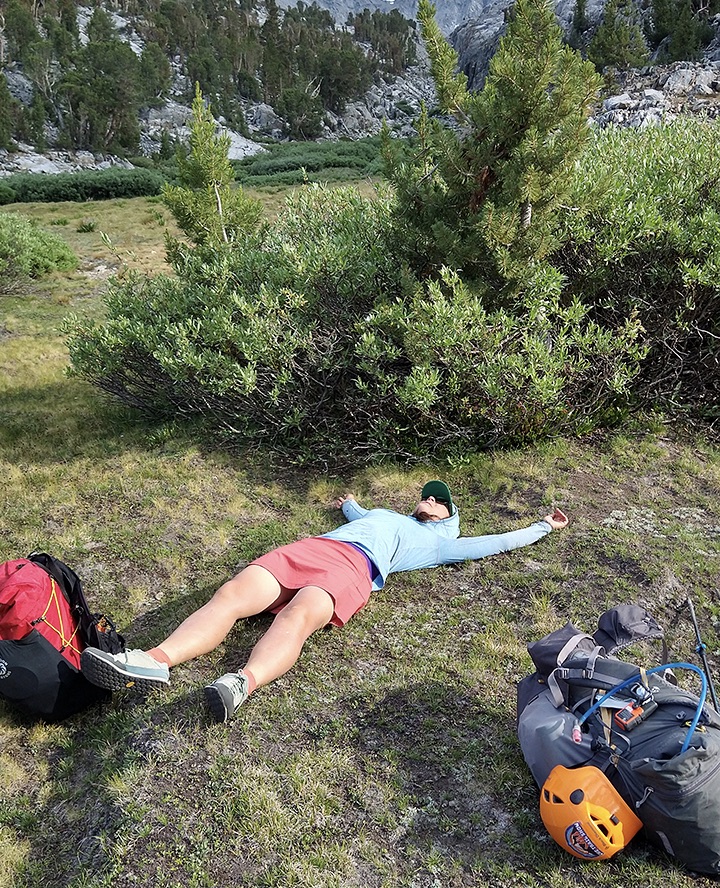
Enjoying time after descending Baxter Peak
The rest of the SoSHR around Mount Cedric Wright was still off-trail. But it was up and over green ramps like those found on the SHR. No hands required! It felt like easy traveling compared to what we had just done.
North of here, the SoSHR becomes easier. It meets the JMT/PCT and is on trail over Pinchot and Mather Pass. At Palisade Lakes, the route joins the SHR by scrambling to Cirque and Potluck Passes. Above Barrett Lakes Basin is the Palisade glacier and some of the highest peaks in the Sierra. The SoSHR joins good trail at Dusy Basin leading to Bishop Pass down to a trailhead.
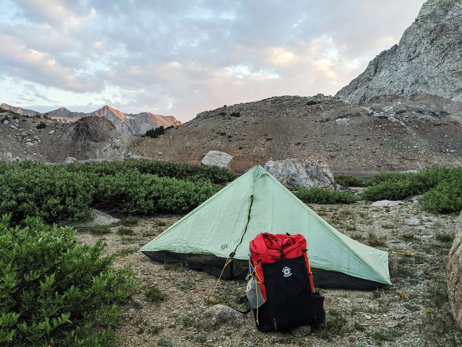
Mt Cedric Wright
POD and I hiked that section several years ago, so opted to take a different trail to a western trailhead that has easier access to transportation.
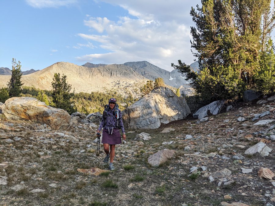
towards Woods Lake near Pinchot Pass
Both thru-hiking and high Sierra routes require perseverance and mental fortitude. For those with the skill set, routes are a new way to be challenged as a hiker.
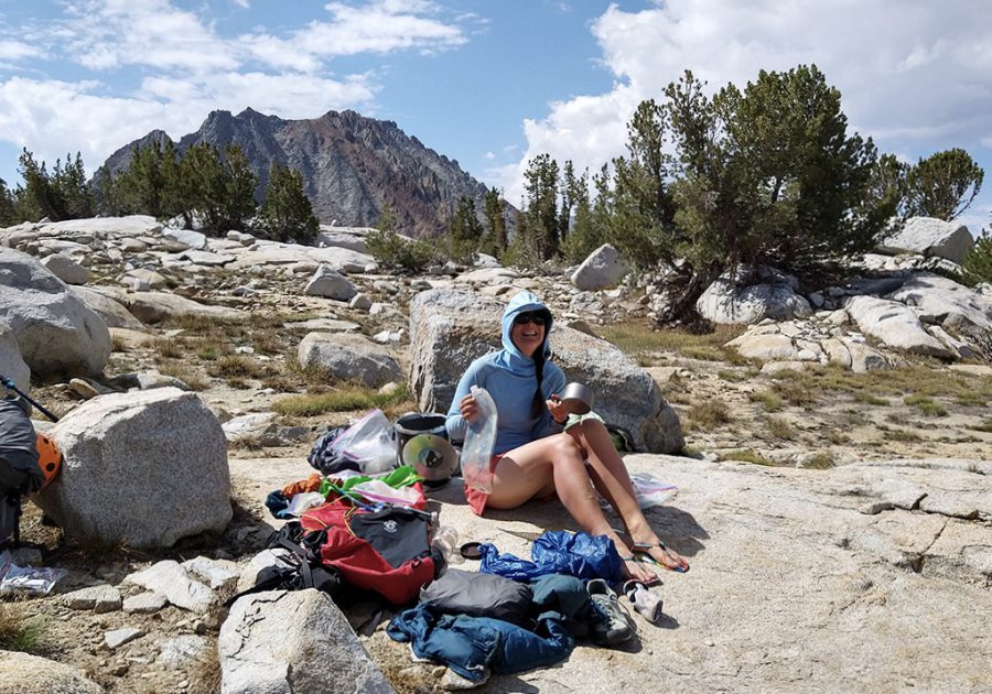
Woods Lake Basin
- « 前へ
- 2 / 2
- 次へ »
TAGS:


 ULギアを自作するための生地、プラパーツ、ジッパー…
  ZimmerBuilt | TailWater P…
  ZimmerBuilt | PocketWater…
  ZimmerBuilt | DeadDrift P…
  ZimmerBuilt | Arrowood Ch…
  ZimmerBuilt | SplitShot C…
  ZimmerBuilt | Darter Pack…
  ZimmerBuilt | QuickDraw (…
  ZimmerBuilt | Strap Pack …


