2年振りに再会する仲間と歩くノーザン・シエラ|by リズ・トーマスのハイキング・アズ・ア・ウーマン#38
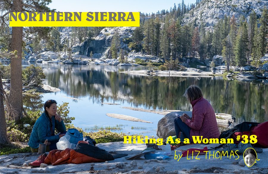
Off Trail in the Northern Sierra
The Northern Sierra may not be as epic and high altitude as the John Muir Trail portion of the High Sierra, but it has amazing views, lots of wildflowers, and fewer crowds. It’s also much easier to get a backpacking permit for trails in the Northern Sierra as there is no quota or online registration required. This summer, I visited Emigrant Wilderness with my team from Treeline Review. This was our first meeting since COVID-19. We wanted to reconnect in a beautiful place, ideally with a few nights of camping in solitude. This trip was just what we needed to feel re-energized after two years apart.
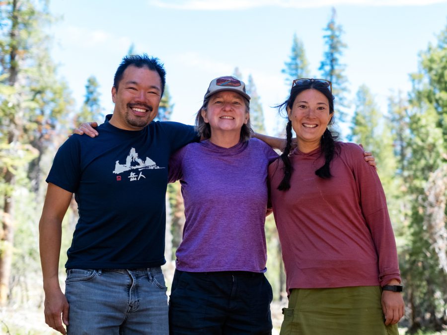
Duncan Cheung, Naomi Hudetz, and Liz Thomas at the end of the Emigrant Wilderness trip. Photo by Duncan Cheung
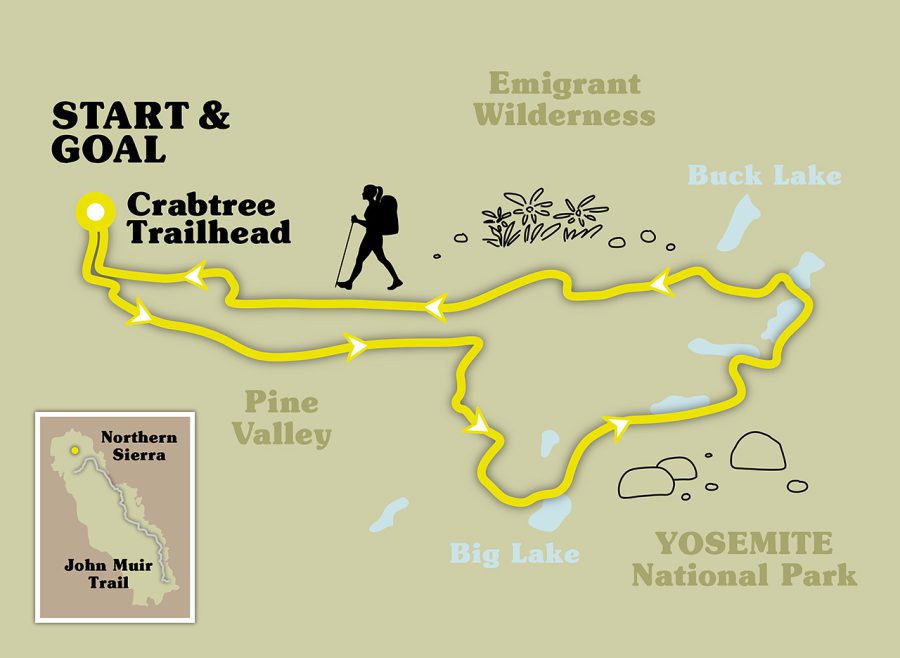
Emigrant Wilderness Off Trail Loop
Emigrant Wilderness is just north of Yosemite National Park, but backpacking here doesn’t require the same complicated and quota-based permit system as in the park. You can get a permit in-person at the ranger station (which is on the way to the trailhead). If the ranger station is closed, you can self-register for your permit.
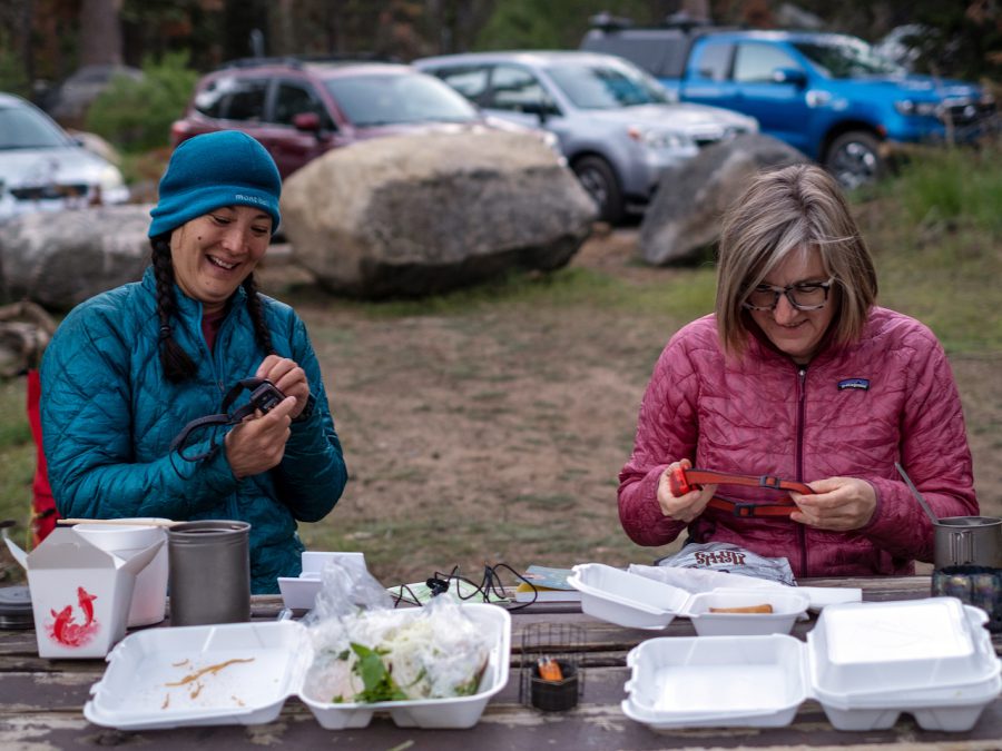
Liz and Naomi brought takeout dinner to the car campground at the trailhead. Photo by Duncan Cheung
We started at the Crabtree Trailhead, where there is free backpacker camping. This was convenient as I drove 6.5 hours from Los Angeles to get to the trailhead. The rest of the team drove 3 hours. We camped the first night, luxuriously taking advantage of the fact we could sleep on thick and heavy camping mattresses for a night. Then we stashed them in our car, traded them for ultralight backpacking pads, and headed on the trail.
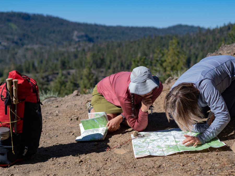
Liz and Naomi look at the map to determine a route on the off trail section. Photo by Duncan Cheung
Our goal was to form a loop with a mix of on and off trail hiking. We started on a good trail towards Pine Valley. Along the way, we saw several families taking kids on their first backpacking trip to Camp Lake.
One of the best things about Emigrant Wilderness is that the off-trail is scenic and relatively easy. There’s lots of white, granite slabs at low angles. These are easier to walk (usually) than walking through brush and bushes–as long as the rock isn’t wet.
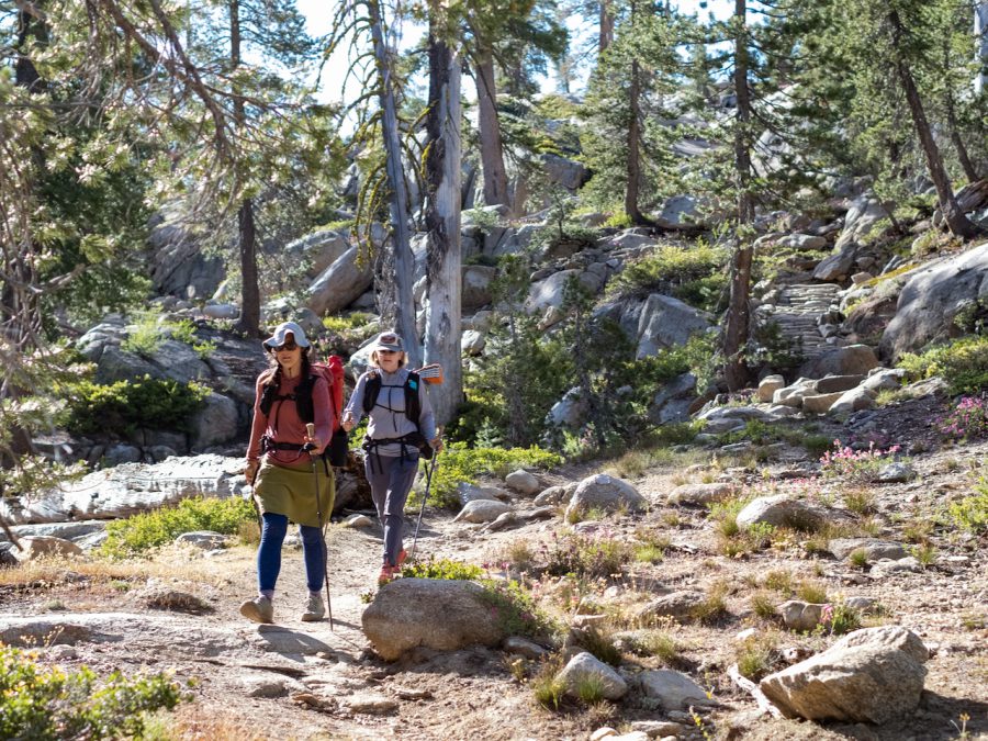
Liz and Naomi on the trail the first day of the trip. Photo by Duncan Cheung
We started our cross-country section at the West Fork of Cherry Creek and into Louse Canyon. The route was steep, but we found the remnants of an old use trail that we could take through rockier sections.
There was plenty of water for drinking along our journey, even though the off-trail on rock was less shady. However, we already were seeing creeks drying up. The waterways in this canyon lead to Cherry Creek Reservoir, that provides water for the city where I grew up, Sacramento. It was neat to see the headwaters of my hometown’s drinking water!
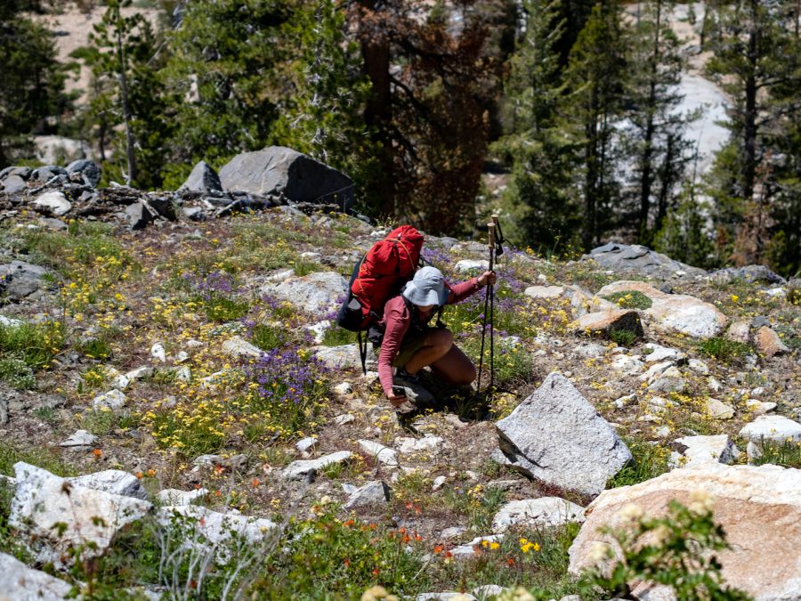
Liz surrounded by wildflowers in Emigrant Wilderness by Naomi Hudetz
The wildflowers were at peak bloom on this trip. One of the things I enjoyed was using my iNaturalist app to identify plants. The app allows you to take a photo of a plant, wildlife, and even some fungi and it will tell you what it is. The app is surprisingly accurate and it’s fun to collect badges for sighting new types of plants or animals.
Our first camp was at Big Lake, an off trail lake in a granite bowl that almost feels like it is hanging at the top of a deep valley. It was amazing to see the sun set against huge slabs of granite ridges. The ridgeline that forms the boundary between Yosemite and the National Forest is a little more than a mile to the south, so it felt like we were peeking into the backside of the park.
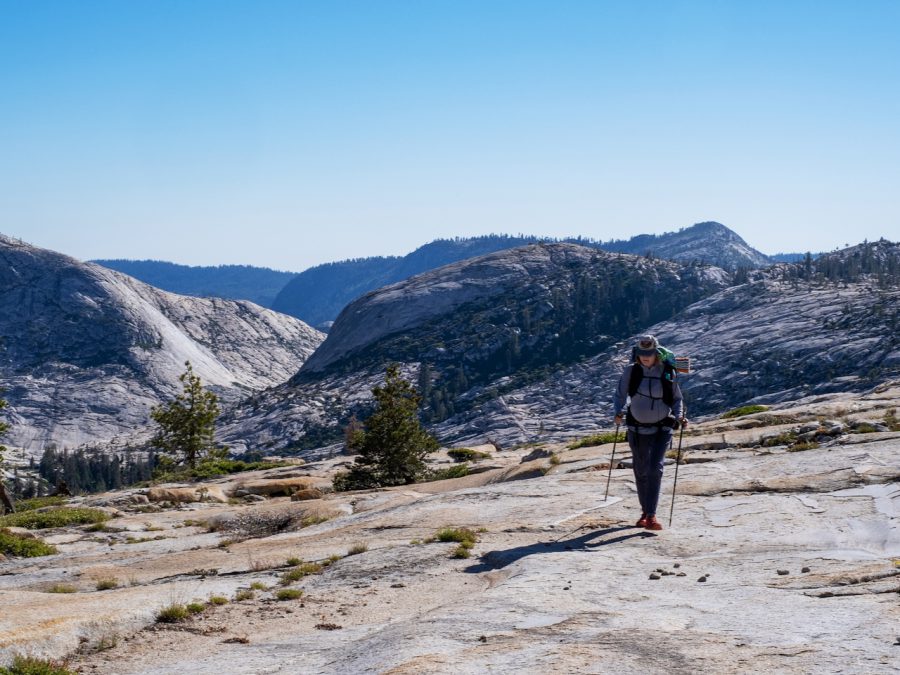
Naomi crosses a massive grabite batholith. Yosemite is over the ridge to the left. Photo by Duncan Cheung
The next day, we stayed off-trail, visiting multiple hidden alpine lakes. We had each lake to ourselves with only moderate elevation gain. The cross country travel was easy–mostly lower angle slab or meadow. It was a little cold to swim, but there were many shallow and warm spots with clear water. One lake in particular had a rock slab that could be used as a waterslide with a 10 foot drop into the lake.
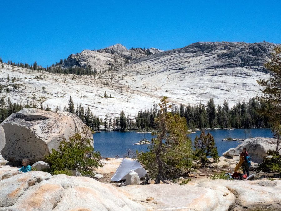
Campsite and tents on night 1 by Big Lake. Photo by Duncan Cheung
That night, we camped on a semi-island between north and south Buck Lakes. This area is accessible by trail, so we saw a fair amount of campers on the holiday weekend. Still, we found a spot out of view from others high on a slab.
From our campsite, we had views of the high ridges to the east, where the Pacific Crest Trail is located. This section of wilderness is on the split between two tectonic plates. There are granite cliffs right next to red volcanic rock. The two different rock formations mean different soils and different plants adapted to the conditions–even though they are right next to each other.
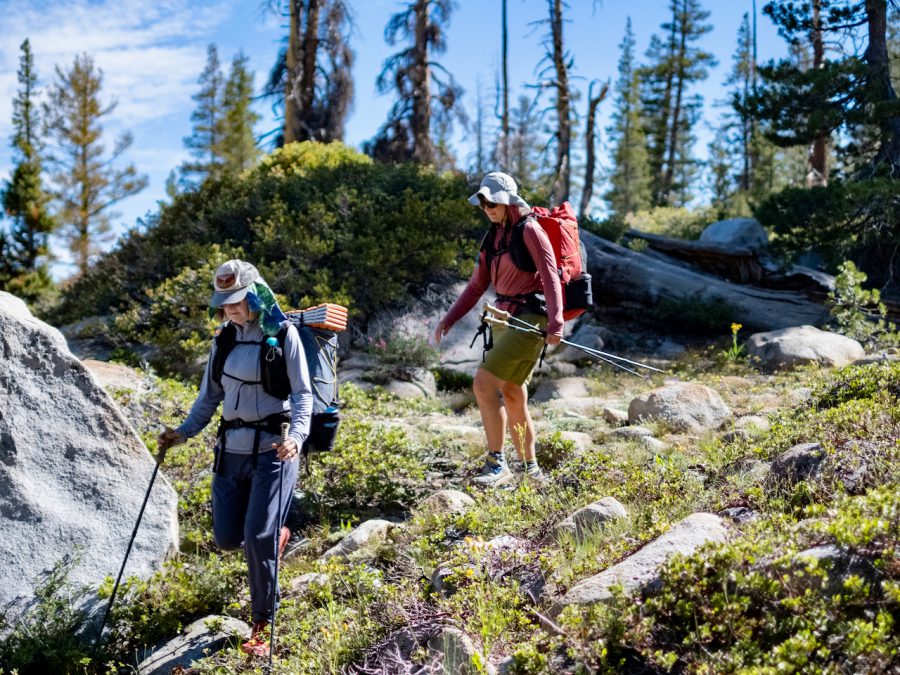
Liz and Naomi off trail on Day 2 through a section with low vegetation. Photo by Duncan Cheung
We spent the next day on a different trail continuing our loop west. Again, we passed beautiful lake after lake and wildflower filled meadows. Lots of people were swimming. Some even brought pool floats and innertubes!
Although it was a busy holiday weekend, we found a campsite off trail at a tarn. We were the only people! It’s incredible how by simply walking a few minutes away from the trail, you can still have a campsite and small lake to yourself. We ate dinner at a highpoint near camp. Our views were looking down Pine Valley and across to Louse Canyon, where we started the hike.
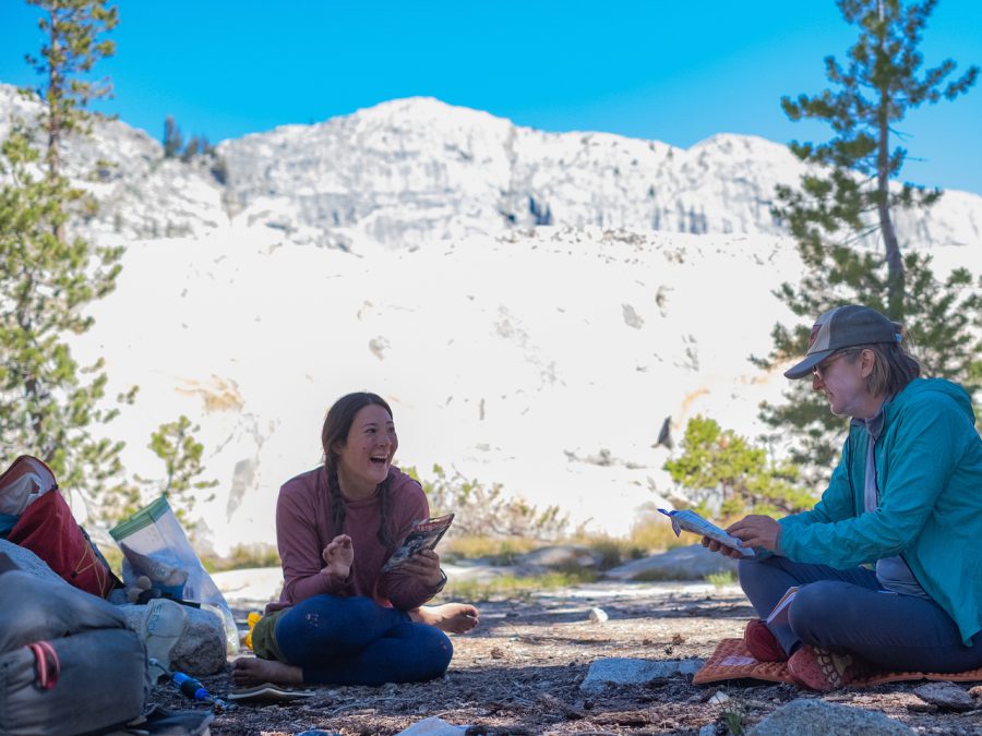
Liz and Naomi journaling in camp. Photo by Duncan Cheung
The next morning, we continued on the trail past more lakes. As someone who lives in the drier portion of California, I was impressed by seeing so much water! The closer we got to the trailhead, the more people we saw–from families with kids to college students who looked like they were taking their first backpacking trip without chaperones. We saw retirees and fashionable day hikers wearing designer clothing.
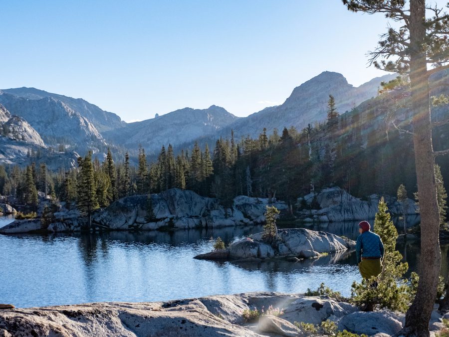
Liz in the morning looking out at the lake. Photo by Duncan Cheung
I love that a wilderness area can attract all sorts of hikers. It’s to share nature with people of lots of experience levels. Being high on a ridge and not being able to see a road or town or cell phone tower is a humbling experience, too. Wilderness and being in nature is such a powerful way to reconnect with others–as our team from Treeline Review did–and also with ourselves.
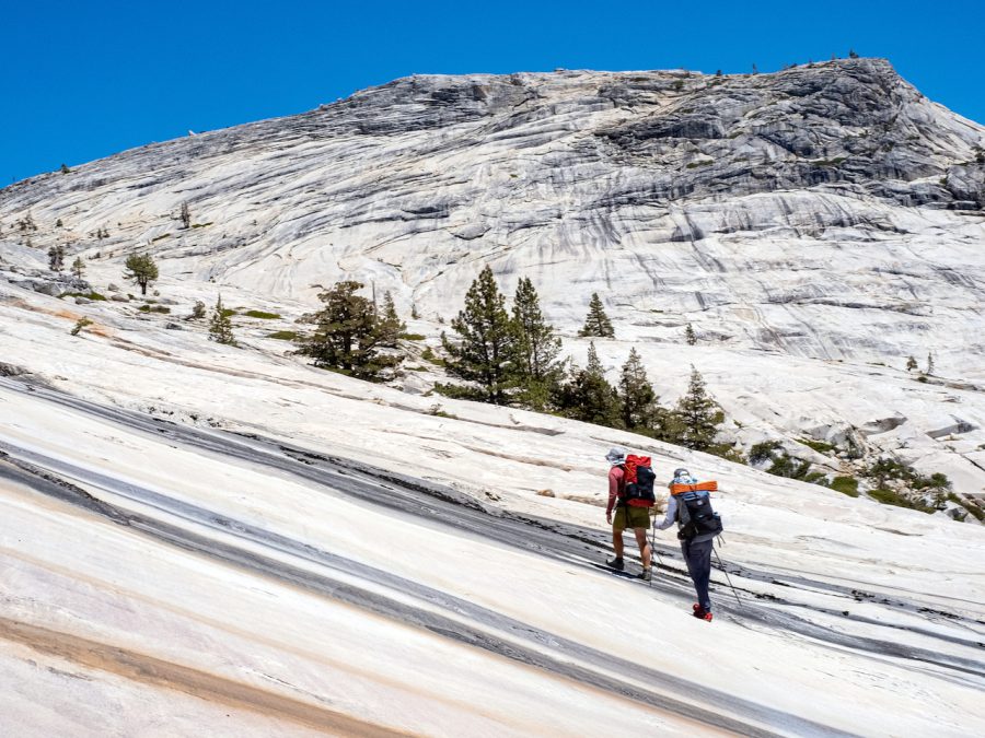
Liz and Naomi on the large granite batholith near Big Lake. Photo by Duncan Cheung
- « 前へ
- 2 / 2
- 次へ »
TAGS:


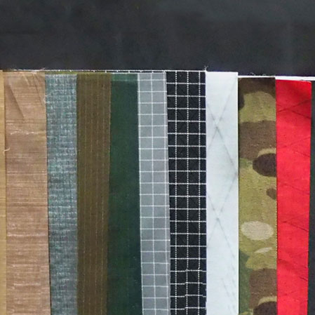
 ULギアを自作するための生地、プラパーツ、ジッパー…
  ZimmerBuilt | TailWater P…
  ZimmerBuilt | PocketWater…
  ZimmerBuilt | DeadDrift P…
  ZimmerBuilt | Arrowood Ch…
  ZimmerBuilt | SplitShot C…
  ZimmerBuilt | Darter Pack…
  ZimmerBuilt | QuickDraw (…
  ZimmerBuilt | Strap Pack …


