アイスランド縦断ハイキング 575km / 18 days by ホイットニー・ラ・ルッファ #02
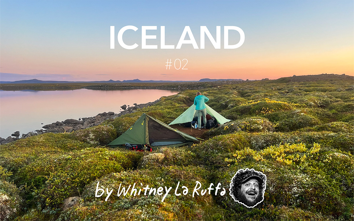
Iceland Traverse Part 2
Hrauunuhafnartangi Lighthouse to Lake Myvatan
166km
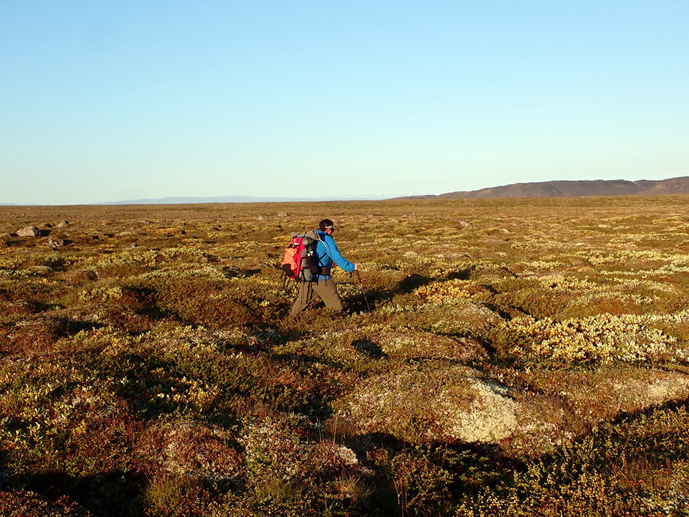
After being dropped off and taking a quick group photo, we walked a few hundred meters to the lighthouse. We dipped our hands in the ocean, marveled at its remote location, and then turned and headed south. This was our first taste of Iceland and the terrain we would be traveling along.
This route followed a well-used gravel road and then turned off onto a jeep track. Eventually, the jeep track turned to cross-country, and we spent the next few hours carefully walking through the tundra tussocks, careful not to twist an ankle. The sun came out, and what should have been a very cold, rainy environment instead was sunny and in the mid-20s.
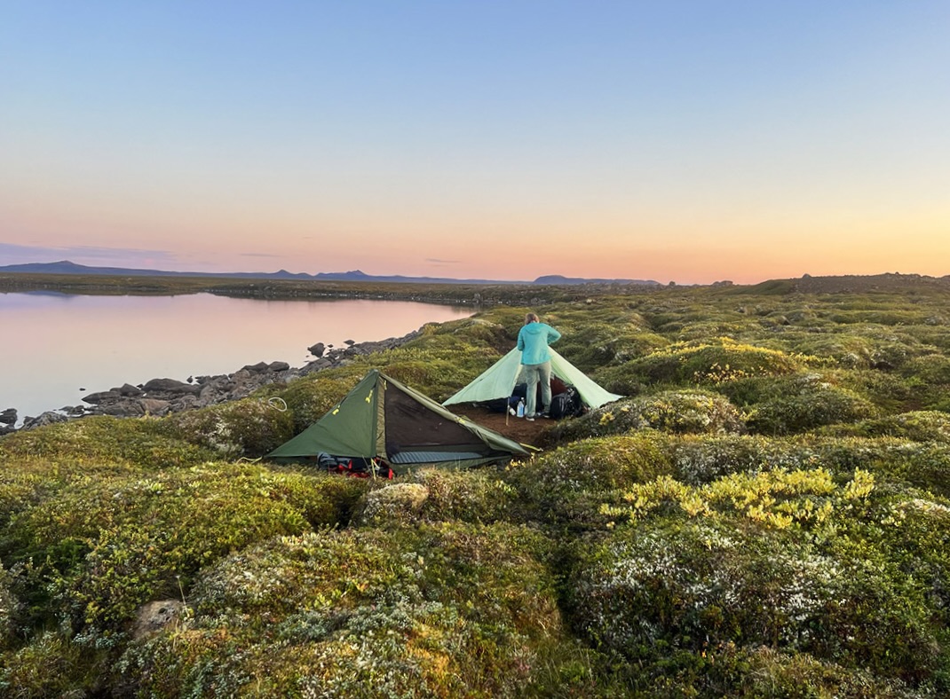
After lunch, the route picked up a jeep road that was not on any map but was going in our general direction, so we followed that for some time. Eventually, the jeep track started to turn away from our route, and we were left with a choice. Follow the road and hope it would meet the N1 Road we were to walk the next day, or travel 2km cross country to the lake where we intended to end the day, and was the only reliable water source for the next 16km. Our friends chose the road, and Mike, Naomi, and I headed to the lake.
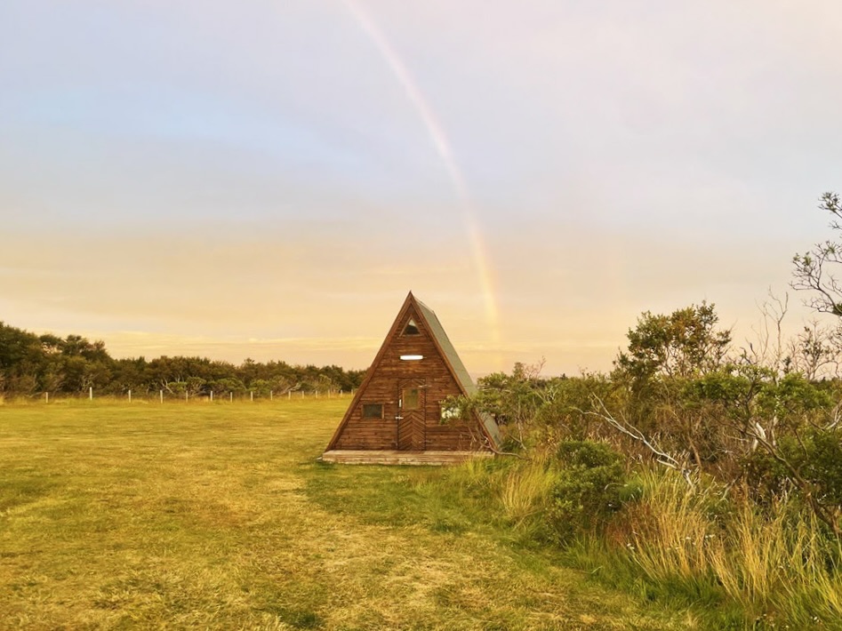
The Lake was small but clear. Two loons floated on the surface, singing their tremolo songs. We pitched our tents on a muddy shoreline amid the brush, ate, and drifted off to sleep as the jet lag and long day hiking in the warm weather had us wholly bushed.
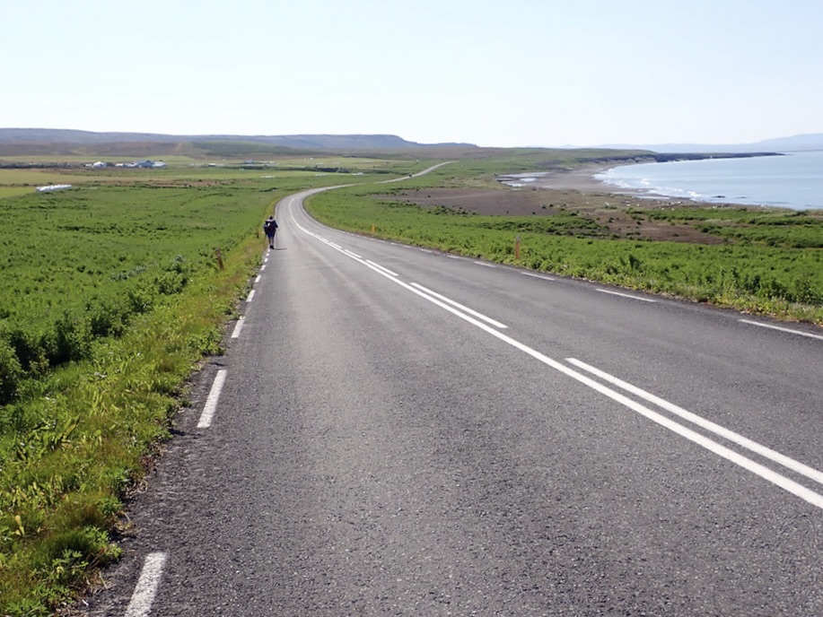
Our second day started with some cross-country until we hit the correct Jeep road on our map. This jeep track led us to the N1 Road, the famous ring road around Iceland. We had a long day before walking along its pavement for the next 32km. The day’s highlights were a quick stop in the town of Kopasker. There was a gas station with a market, and we got sandwiches and extra snacks for the road walk.
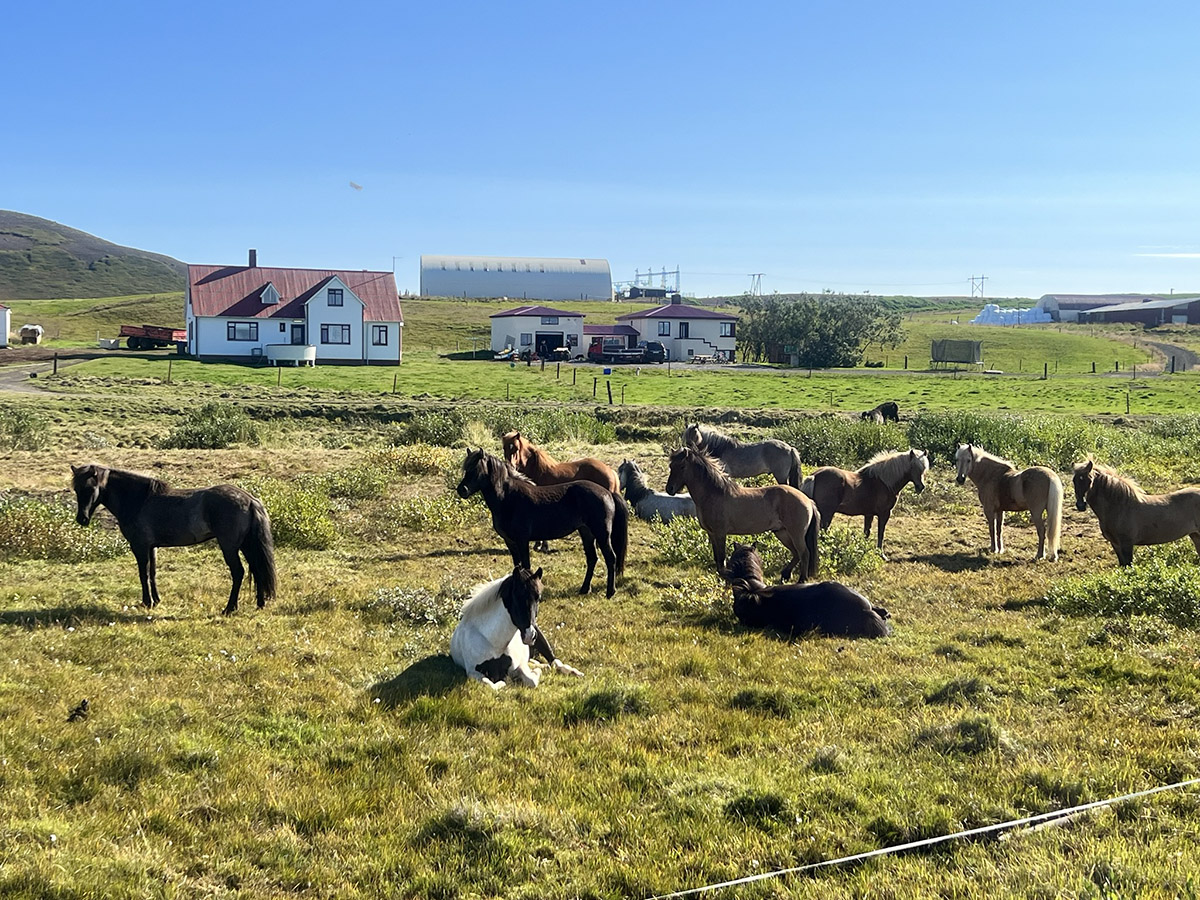
The road walk was challenging on the feet and the body; the sun was out, and there was no shade to be had all day. The temperature was nearly 30℃ and having a hiking kit of warm clothes for inclement weather made for a long, uncomfortable day. The few highlights of the day were crossing over the tectonic plate boundary of Iceland, where the country is split in half and being pulled every so slowly in opposite directions. We also saw our first Icelandic horses, a stunning waterfall that flowed into the ocean, and ended our day at a lovely campground that cost ¥1200.
In the morning, we awoke to the sound of rain on our tents. A quick look at the forecast showed a morning of rain showers but a rather large rain event around 3 pm. We decided to have an easy day, only go about 19km, and camp early to ride out the storm. We decided to do this because our next section of the route was through Vatnajökull National Park and its famous Asbyrgi Canyon with impressive waterfalls, including Detifoss, the second most powerful waterfall in Europe. The day was easy walking for the most part. We continued along the N1 road, popped into the gas station for an early lunch out of the rain, and then entered the park and marveled at the scenery and tough terrain ahead. We arrived at camp with just enough time to get our tents up and crawl inside before the storm hit.
As I had a lot of time to lie around in my tent, I decided to read about the mythology of Asbyrgi Canyon. Legend has it that Odin was riding his eight-legged horse, Sleipnir, across the sky. Sleipnir took a large leap and imprinted his hoof on Earth’s surface, leaving behind the horse-shoe-shaped Asbyrgi Canyon.

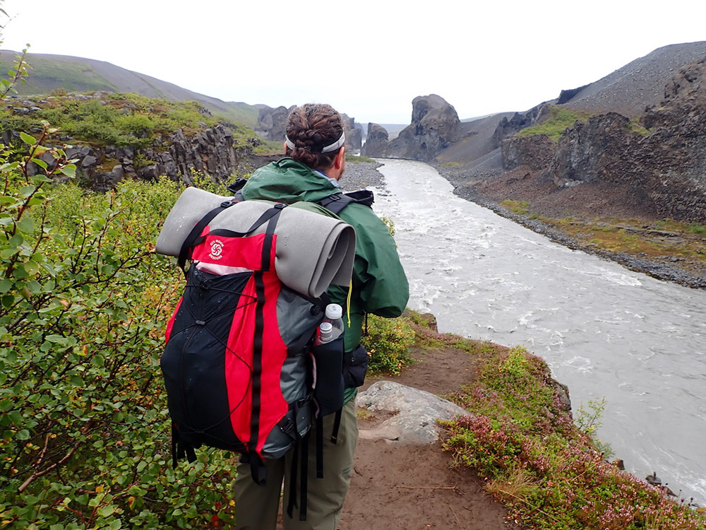
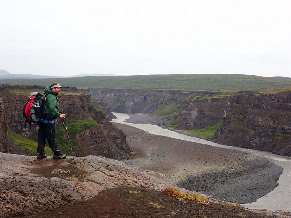
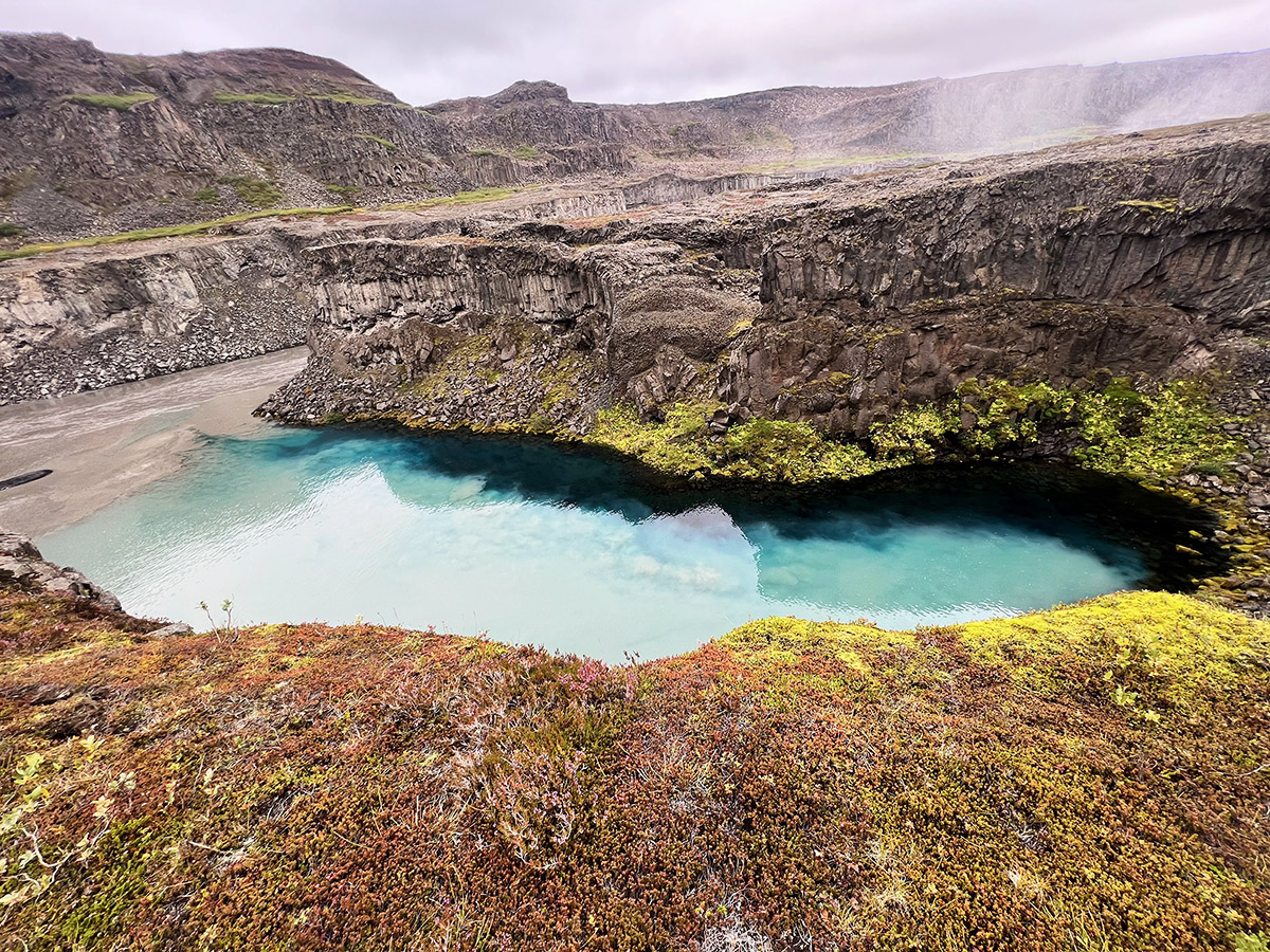
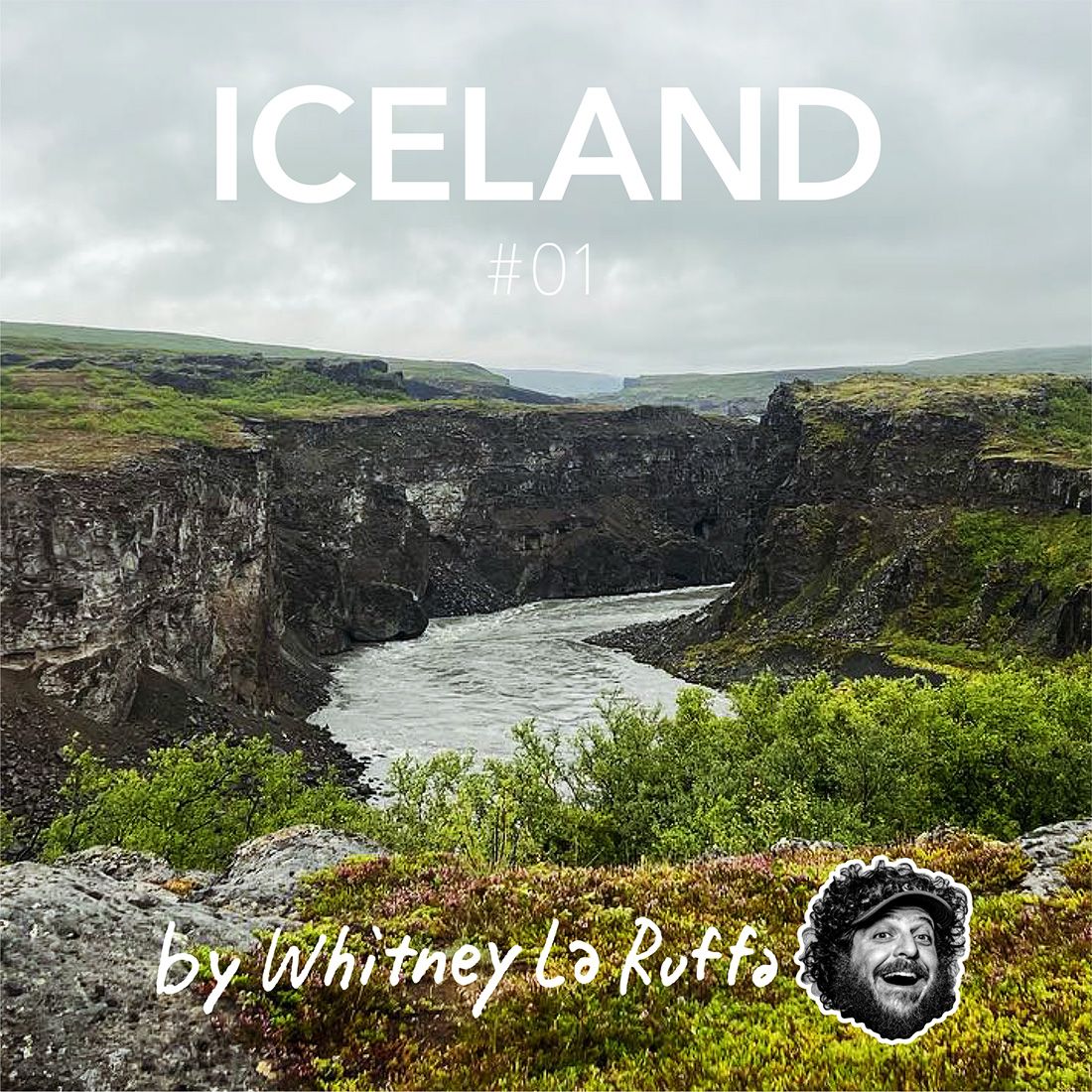
The next day we hiked through the famous canyon. The landscape was incredible. We walked up and down the steep rocky cliffs of the canyon wall. In one side canyon, we discovered a natural spring bubbling the clearest cleanest water you have ever seen; we filled our bottles and drank the best water on earth. The hike had us walking upstream and the waterfalls we saw kept getting bigger and bigger.
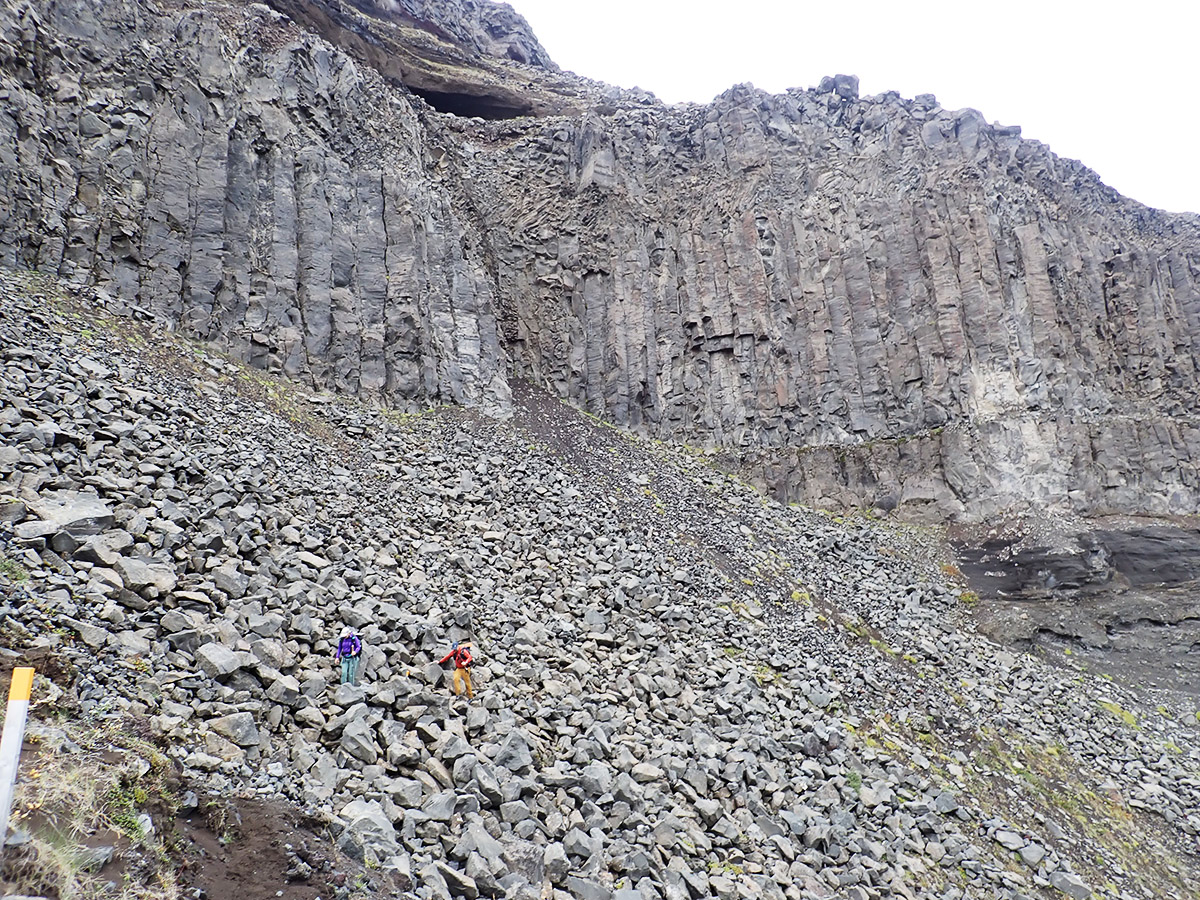
We came to turn in the trail and saw before us what appeared to be a sheer cliff, which was our trail. As we walked closer to the top of the cliff,we saw a rope we could use to help us climb up Even with the rope, the climbing was very dangerous and had a large amount of exposure. Luckily, the three of us were able to make it to the top safely.
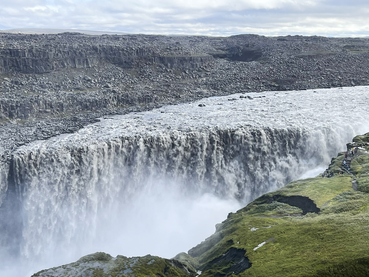
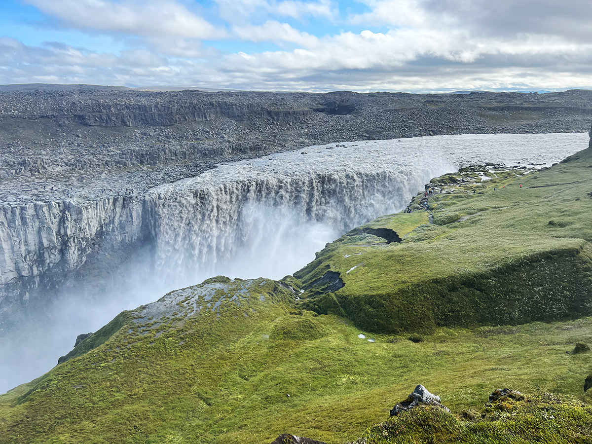
Upon the rim we could see where we were to head, and it the distance was a large car park for people to visit Detifoss. The thunderous sound of Detifoss filled the air, and as we walked towards it, it was if we were entering another world. We came upon Detifoss and were in awe, it was the most significant waterfall we had ever seen. We got soaked from the mist coming off the falls and, after a few photos, wired our way to the car park to enjoy lunch at a picnic table there.
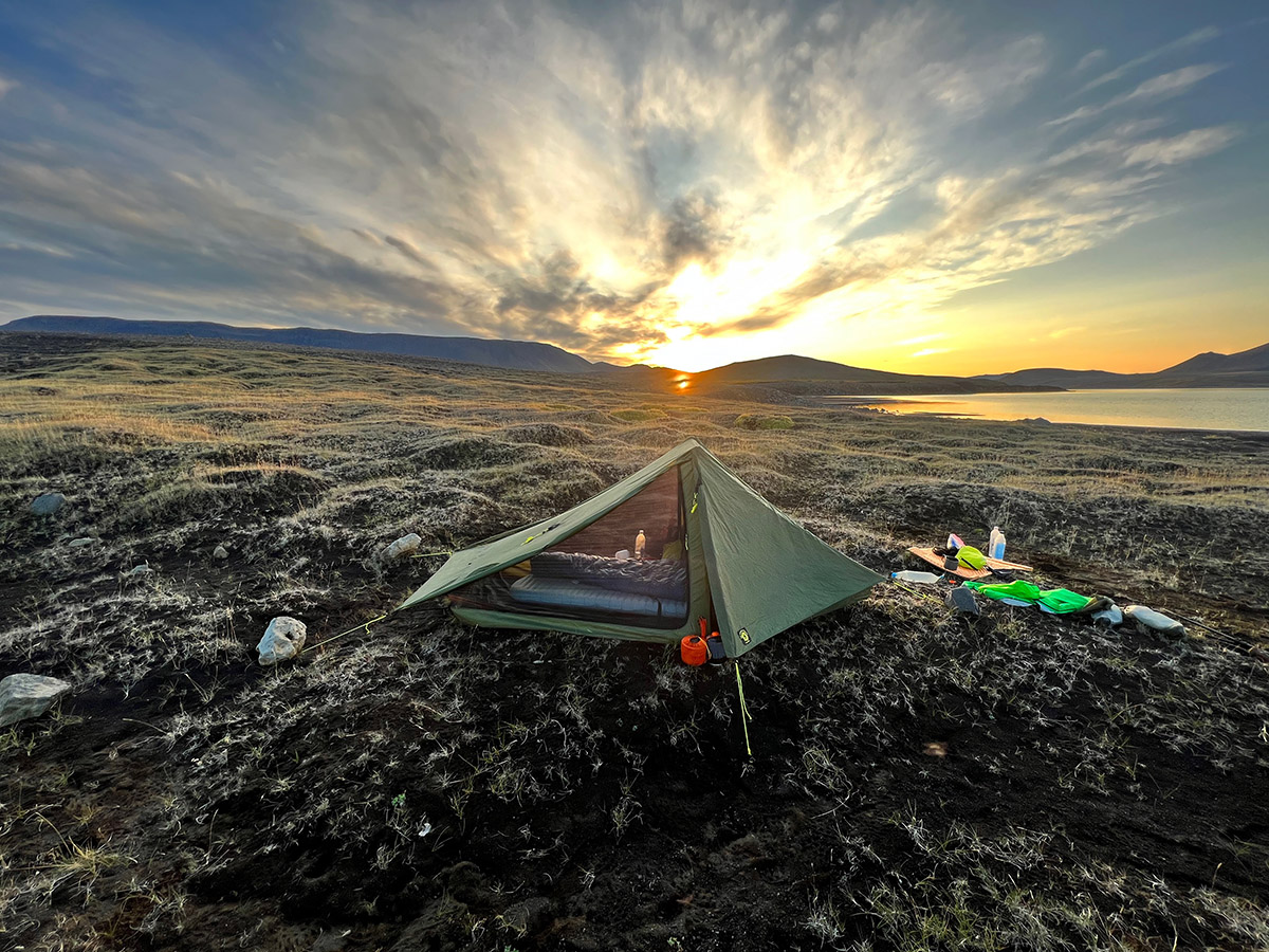
The rest of day had us leaving the canyon and turning toward Myavatn a small resort town long lake Myvatan. The trail left the road leading to Detifoss and took us cross-country across a volcanic plain. The ground was soft and we sank in slightly with each step. We spotted our destination fo the night a lake off in the distance and worked our way there, arriving with enough time to make camp before the sun set upon us.
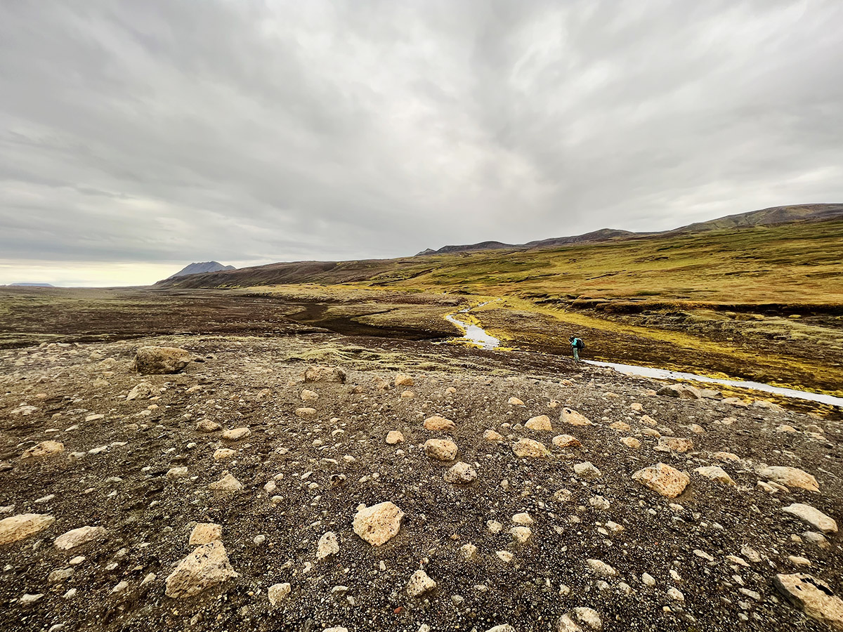
Our final push in this section was another 30+km day to reach Myvatan Lake, where Mike and Naomi had 2 night booked at a guest house, and I had 2 nights booked at the local hostel. The terrain was amazing, ad vast plain of volcanic soil with baseball-sized rocks scattered upon it. Each step you thought would be rocky and hurt your feet. Instead, we softly sank down like walking on pillows. We climbed up the flank of a volcano and then found a jeep track that would take us to the main road leading into town.
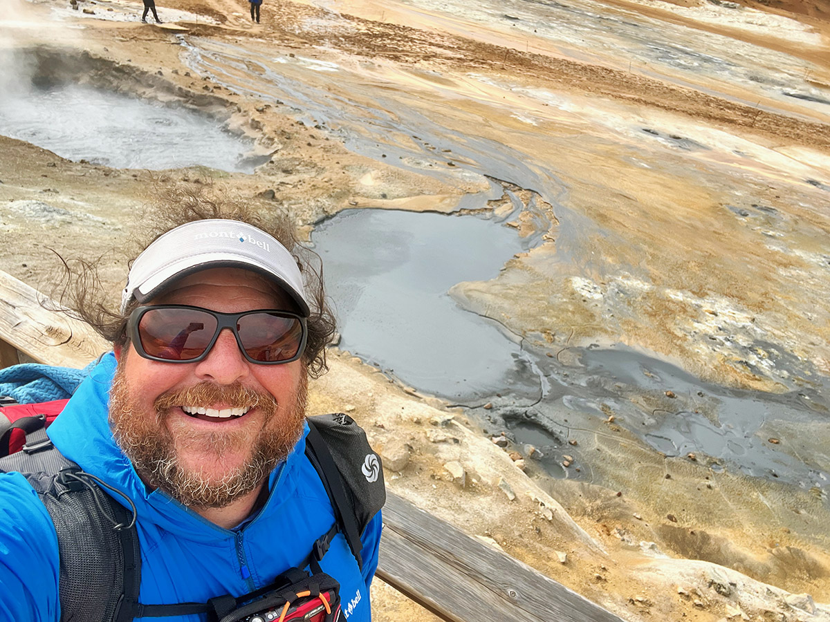
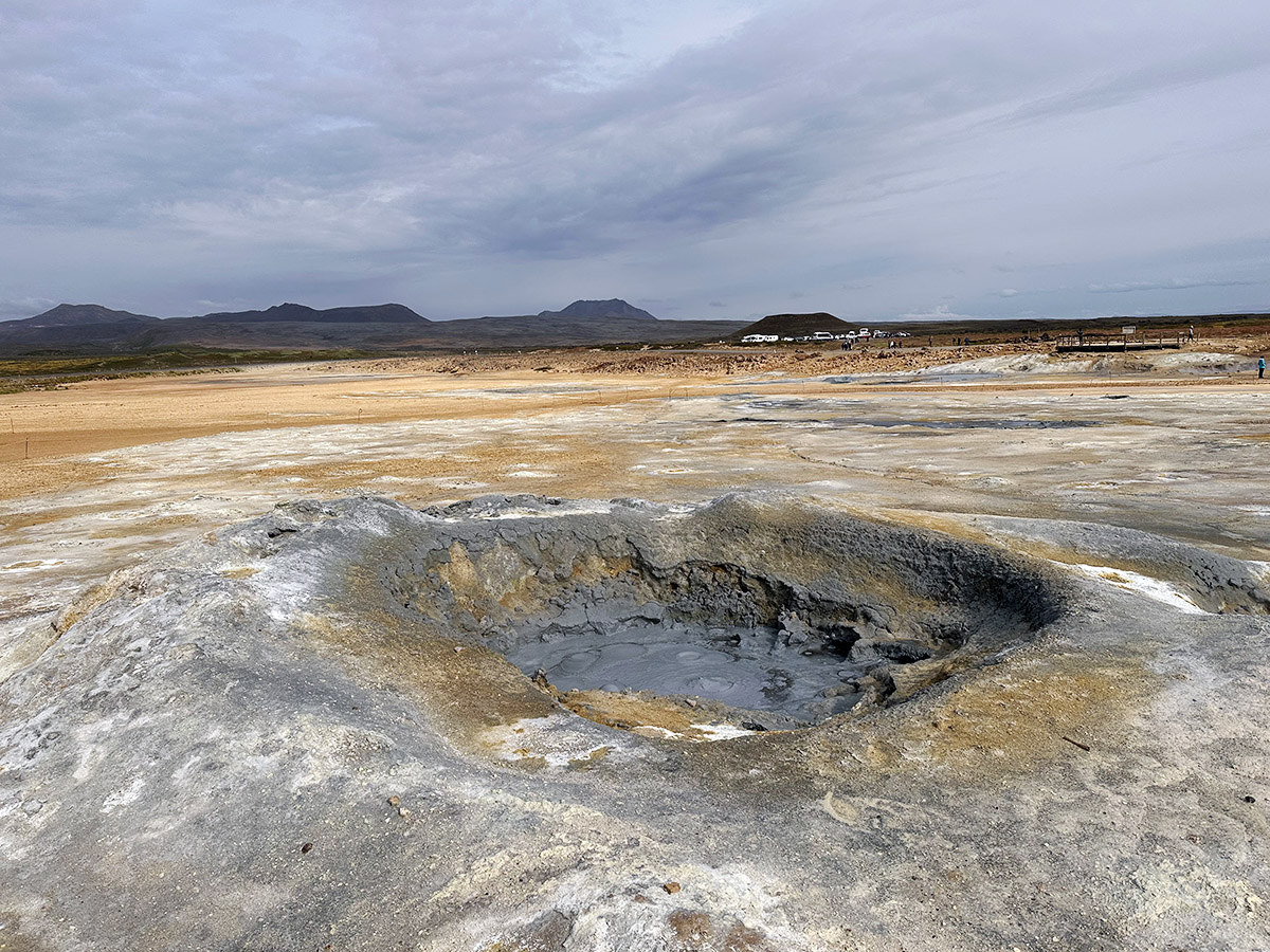
Along the road into town we passed Nȧmafjall Geothermal Area, a very active area with mud pots, extremely hot geothermal pools, and sulfuric gas vents. We walked around the area enjoying the many features; the only problem was there a large amount of tourists and we felt a bit overwhelmed by it all.
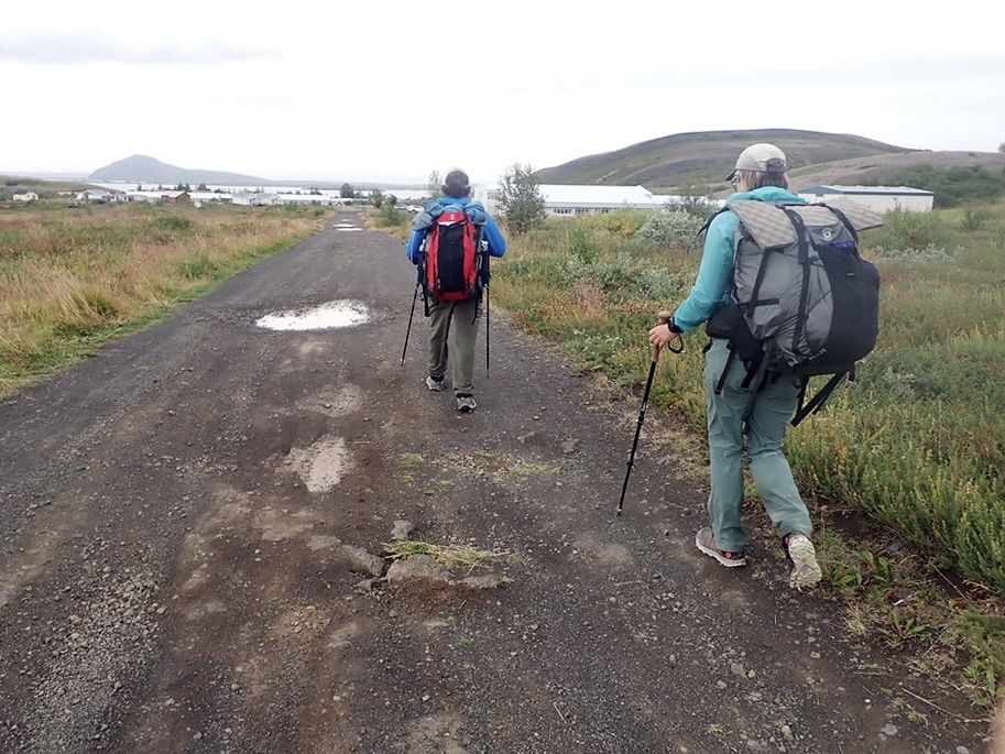
We left the area and carefully walked along the very busy N1 Road. A few kilometers before town, a small bike path started a ways off the road; we decided to walk on that and reduce the risk of a vehicle hitting us. We made good time and arrived in town around a little before 4pm. The town was bustling with activity as many tourists milled around. The midges were out in full force, and we had to put on our headnets to keep them form flying into our eyes, noses and mouths. We enjoyed some fish and chips and beer along the lake shore before heading to our accommodations for the night.
Our first leg of the hike was completed, in just 4 days we had covered 166km, and were ready for a zero-day to rest and recovery before heading into the vast interior of Iceland.
- « 前へ
- 2 / 2
- 次へ »
TAGS:


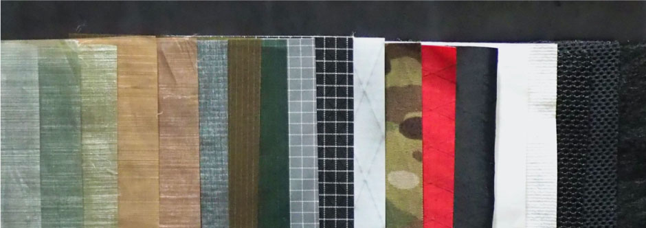
 ULギアを自作するための生地、プラパーツ、ジッパー…
  ZimmerBuilt | TailWater P…
  ZimmerBuilt | PocketWater…
  ZimmerBuilt | DeadDrift P…
 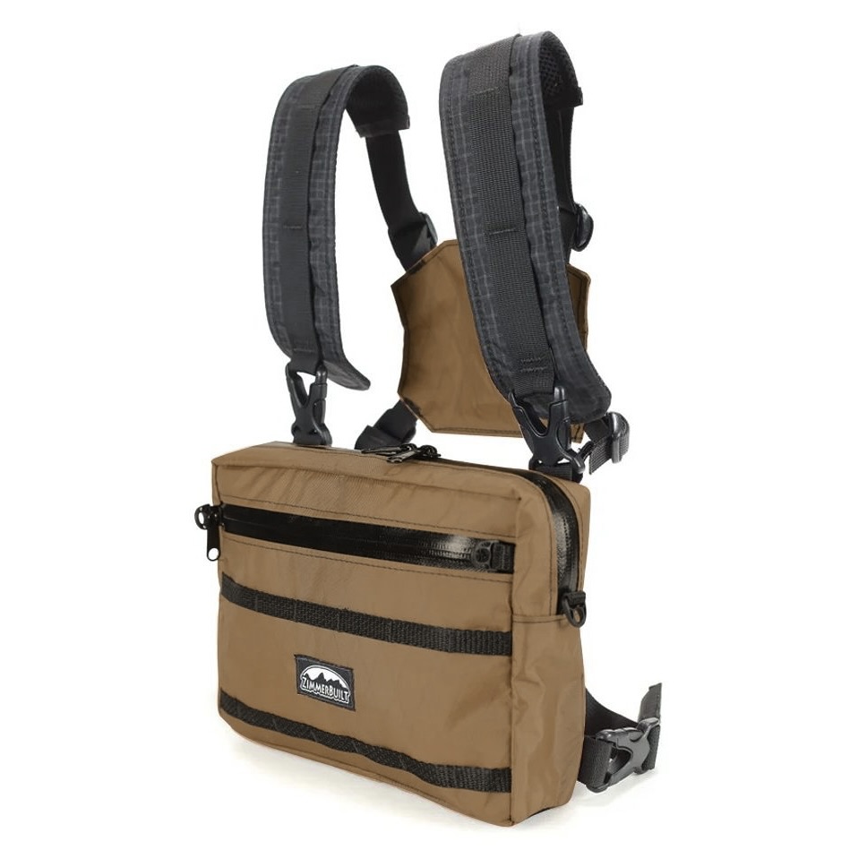 ZimmerBuilt | Arrowood Ch…
 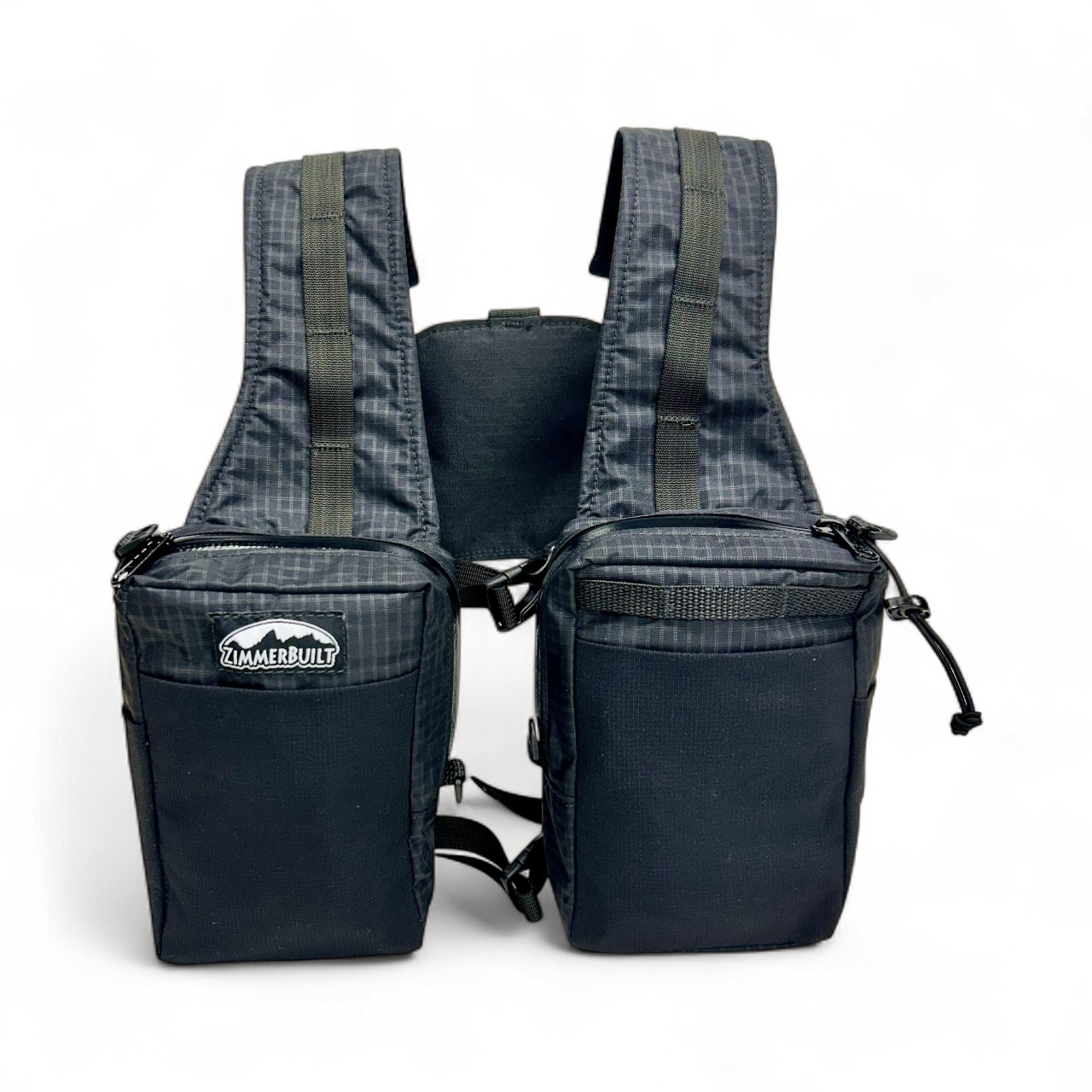 ZimmerBuilt | SplitShot C…
 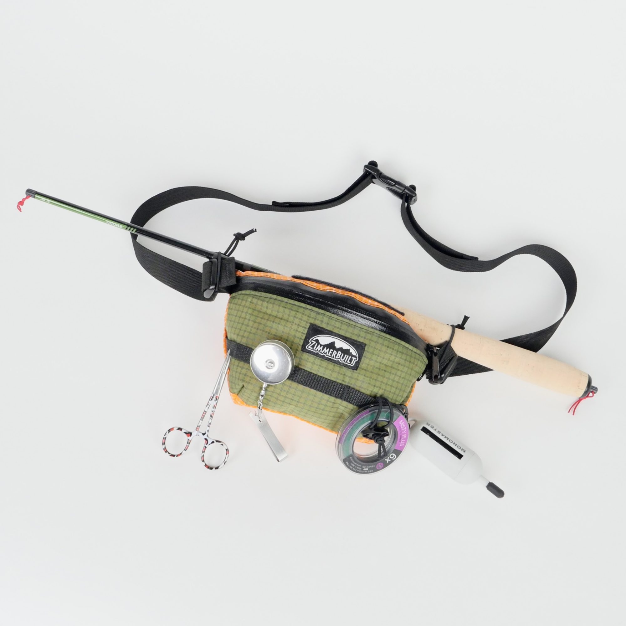 ZimmerBuilt | Darter Pack…
 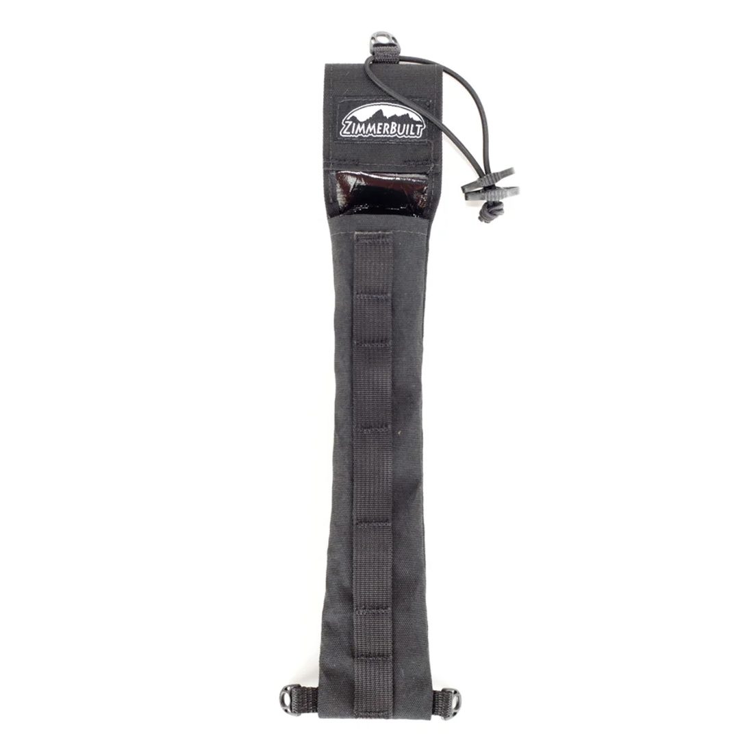 ZimmerBuilt | QuickDraw (…
  ZimmerBuilt | Strap Pack …


